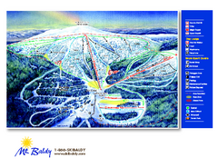
Mt. Baldy Family Ski Area Ski Trail Map
Trail map from Mt. Baldy Family Ski Area.
327 miles away
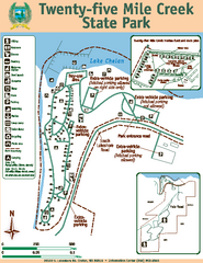
Twenty-Five Mile Creek State Park Map
Map of park with detail of trails and recreation zones
328 miles away
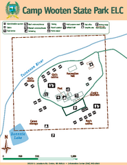
Camp Wooten State Park Map
Map of park with detail of trails and recreation zones
328 miles away
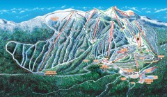
Big White Ski Trail Map
Official ski trail map of Big White ski area from the 2007-2008 season.
331 miles away
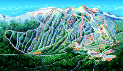
Big White Ski Resort Ski Trail Map
Trail map from Big White Ski Resort, which provides downhill, night, nordic, and terrain park...
332 miles away
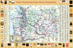
Washington State Winery Map
Washington State Winery Map
332 miles away
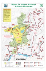
Mt. Saint Helens National Volcanic Monument...
Official recreation map showing all roads, trails, campgrounds, and other facilities. Also shows...
334 miles away
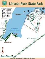
Lincoln Rock State Park Map
336 miles away
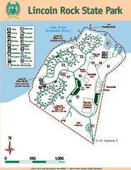
Lincoln Rock State Park Map
Map of park with detail of trails and recreation zones
336 miles away
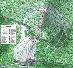
White Pass Ski Area Ski Trail Map
Trail map from White Pass Ski Area, which provides downhill, nordic, and terrain park skiing. It...
336 miles away

BANKS-VERNONIA STATE TRAIL Map
337 miles away
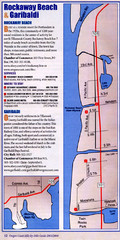
Rockaway Beach Map
338 miles away
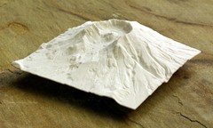
Mt. St. Helens 3D Print Map
This is a 3D-printed map of the cone, crater, and summit of Mt. St. Helens in Washington, USA. It...
338 miles away
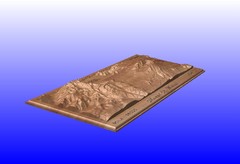
Mount St. Helens carved in wood by carvedmaps.com...
Mount St. Helens carved in wood by carvedmaps.com
338 miles away
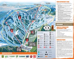
Mission Ridge Ski Trail Map
Official ski trail map of Mission Ridge ski area from the 2007-2008 season.
338 miles away
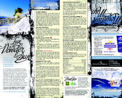
Mission Ridge Ski Area Ski Trail Map
Trail map from Mission Ridge Ski Area, which provides downhill, night, and terrain park skiing. It...
339 miles away
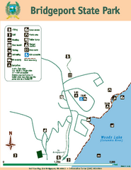
Bridgeport State Park Map
Map of park with detail of trails and recreation zones
341 miles away

Kettle Valley Trails Map
Map of Kettle Valley Trails. Includes all trails, streets, and attractions.
341 miles away
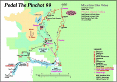
Pedal the Pinchot Bike Ride Route Map
Route Map for the Pedal the Pinchot 99 bike ride - annotated on a Park trail map.
343 miles away
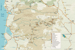
Tillamook State Forest Map
Recreation map of Tillamook State Forest. Over 60 miles of non-motorized trails and 150 miles of...
345 miles away
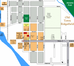
Guide Map of Old Town Ridgefield
Guide Map of Old Town Ridgefield, Washington
348 miles away
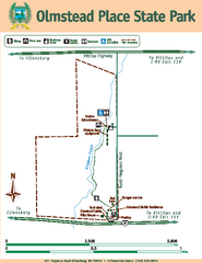
Olmstead Place State Park Map
Map of park with detail of trails and recreation zones
350 miles away
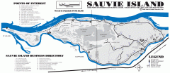
Sauvie Island tourist map
Tourist map of Sauvie Island in Oregon. Shows all businesses and points of interest.
351 miles away
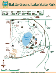
Battle Ground Lake State Park Map
Map of park with detail of trails and recreation zones
354 miles away

Phoenix Mountain Ski Trail Map
Trail map from Phoenix Mountain.
356 miles away
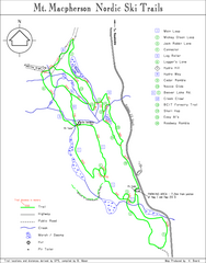
Mt Macpherson Nordic Ski Trail map
Nordic ski trail map of Mt Macpherson area near Revelstoke, BC. Shows trail names and distances in...
360 miles away

Nisga'a Commercial Recreation Area Map
Guide to commercial recreation in aboriginal lands in British Columbia
360 miles away
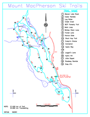
Revelstoke Nordic—Mount MacPherson Nordic Ski...
Trail map from Revelstoke Nordic—Mount MacPherson, which provides nordic skiing. This ski area...
360 miles away
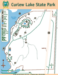
Curlew Lake State Park Map
Map of park with detail of trails and recreation zones
361 miles away
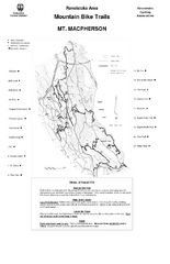
Mt. Macpherson Mountain Bike Trail Map
Mountain bike trail maps of Mt. Macpherson area and Mt. Mackenzie area right out of the town of...
361 miles away

Revelstoke City Map
Overview map of Revelstoke, BC. Shows Points of Interest and activity icons
362 miles away
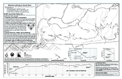
Forest Park Mountain Biking Map
Forest Park now includes over 5,100 wooded acres making it the largest, forested natural area...
362 miles away
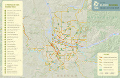
Bi-State Regional Trail System Plan Map
Shows plan for developing 37 Bi-State Regional Trails
363 miles away
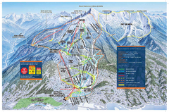
Revelstoke Ski Trail Map - Front side
Ski trail map of front side of Revelstoke ski area in Revelstoke, Canada from the 2008-2009 season.
364 miles away
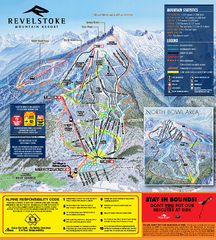
Revelstoke Ski Trail Map 2010-11
Ski trail map of Revelstoke Mountain Resort for the 2010-2011 season. Inset shows North Bowl area.
365 miles away
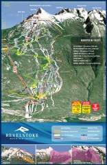
Revelstoke Ski Trail Map
Official ski trail map of Revelstoke ski area from the inaugural 2007-2008 season.
365 miles away
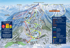
Revelstoke Ski Trail Map 2009-2010
Official ski trail map of Revelstoke Mountain Resort from the 2009-2010 season.
365 miles away
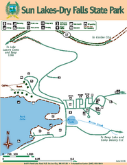
Sun Lakes-Dry Falls State Park Map
Map of park with detail of trails and recreation zones
366 miles away
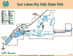
Sun Lakes-Dry Falls State Park Map
Map of park with detail of trails and recreation zones
366 miles away
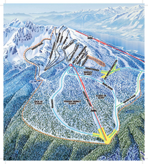
Revelstoke Ski Trail Map - North Bowl
Ski trail map of the North Bowl of Revelstoke ski area in Revelstoke, BC. From the 2008-2009...
366 miles away

