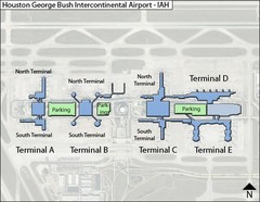
Houston, Airport Terminal Map
290 miles away
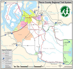
Pierce County Regional Trail Map
County-wide system of trails
291 miles away
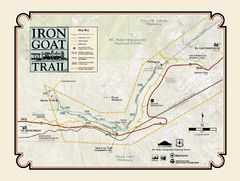
Iron Goat Trail Map
291 miles away
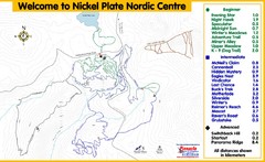
Nickel Plate Nordic Centre Ski Trail Map
Trail map from Nickel Plate Nordic Centre.
291 miles away
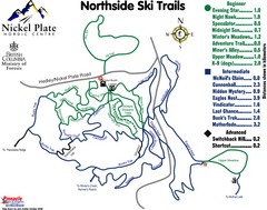
Nickel Plate Nordic Centre North Ski Trail Map
Trail map from Nickel Plate Nordic Centre.
292 miles away
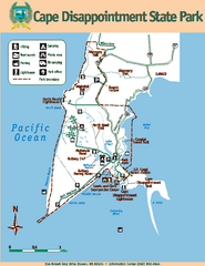
Cape Dissapointment State Park Map
Map of park with detail of trails and recreation zones
292 miles away
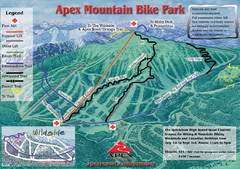
Apex Mountain Resort Biking Ski Trail Map
Trail map from Apex Mountain Resort, which provides downhill and terrain park skiing. It has 5...
293 miles away
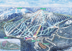
Apex Mountain Ski Trail Map
Official ski trail map of Apex Mountain ski area
294 miles away
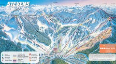
Stevens Pass Ski Trail Map
Official ski trail map of Stevens Pass ski area
294 miles away
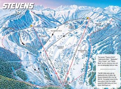
Stevens Pass Ski Area Stevens Pass Mill Valley...
Trail map from Stevens Pass Ski Area, which provides night and terrain park skiing. It has 8 lifts...
294 miles away
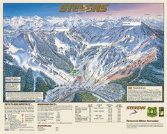
Stevens Pass Trail Map
294 miles away
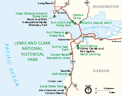
Lewis & Clark National Historic Trail...
Official NPS map of Lewis & Clark National Historic Trail in Oregon-Washington. Shows all areas...
294 miles away

Pierce County Washington Map, 1909 Map
295 miles away
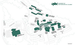
University of Northern British Columbia Campus Map
Campus map of UNBC in Prince George, British Columbia
295 miles away
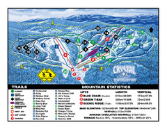
Crystal Mountain Resort Ski Trail Map
Trail map from Crystal Mountain Resort, which provides downhill skiing. This ski area has its own...
296 miles away
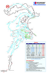
Telemark Cross Country Ski Trail Map
Trail map from Telemark Cross Country, which provides nordic skiing. This ski area has its own...
296 miles away
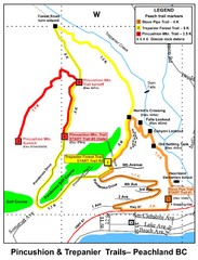
Peachland Walks Map
Guide to Pincushion and Trepanier Trails in Peachland, BC
296 miles away
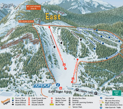
The Summit at Snoqualmie Summit East Ski Trail Map
Trail map from The Summit at Snoqualmie, which provides night and terrain park skiing. It has 30...
297 miles away
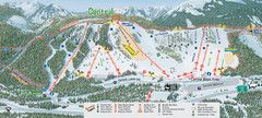
The Summit at Snoqualmie Summit Central Ski Trail...
Trail map from The Summit at Snoqualmie, which provides night and terrain park skiing. It has 30...
297 miles away
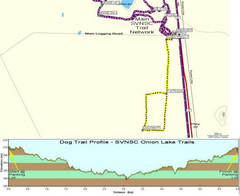
Onion Lake Dog Ski Trail Map
Trail map from Onion Lake, which provides nordic skiing. This ski area has its own website.
297 miles away
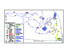
Onion Lake Ski Trail Map
Trail map from Onion Lake, which provides nordic skiing. This ski area has its own website.
297 miles away
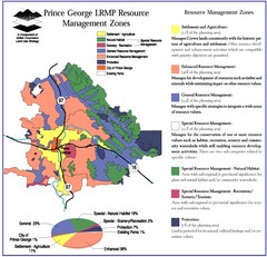
Prince George LRMP Resource Management Zone Map
Prince George Land and Resource Management Plan, color coded by land use.
298 miles away
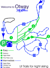
Otway Nordic Centre (Caledonia) Night lit Ski...
Trail map from Otway Nordic Centre (Caledonia), which provides night and nordic skiing. This ski...
299 miles away
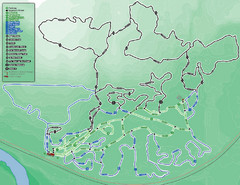
Otway Nordic Centre (Caledonia) Ski Trail Map
Trail map from Otway Nordic Centre (Caledonia), which provides night and nordic skiing. This ski...
299 miles away
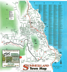
Summerland Town Map
Map of Summerland with details on outdoor-recreation locations and streets
300 miles away
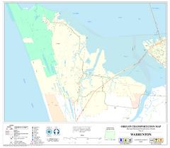
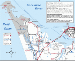
Warrenton Oregon Road Map
302 miles away
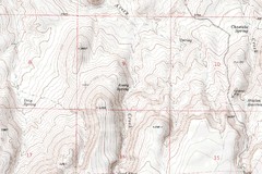
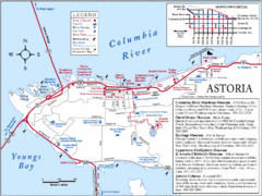
Astoria Oregon Map
A detailed topographic map of Astoria, Oregon and the Columbia River.
302 miles away
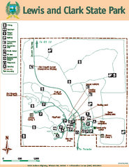
Lewis and Clark State Park Map
Map of park with detail of recreation zones and trails
303 miles away
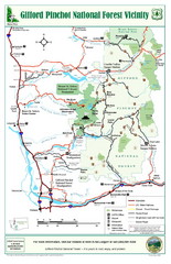
Gifford Pinchot National Forest Vicinity Map
Gifford Pinchot National Forest and surrounding areas including Mt. St Helens.
304 miles away
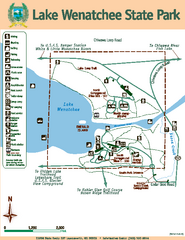
Lake Wenatchee State Park Map
Map of island with detail of trails and recreation zones
305 miles away
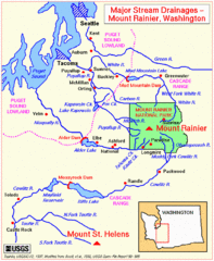
Mount Rainier Major Stream Drainages Map
305 miles away
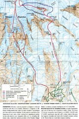
Mount Rainier Topo Map
Map of Mount Rainier Ascent. We ascended the "Muir Snowfield" and then went up the "...
305 miles away
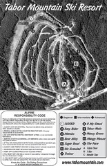
Tabor Mountain 2005–08 Tabor Downhill Map
Trail map from Tabor Mountain.
306 miles away
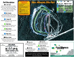
Tabor Mountain 2005–07 Tabor Summer Map
Trail map from Tabor Mountain.
306 miles away
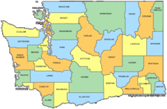
Washington State Counties Map
307 miles away
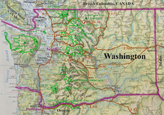
Washington State Road and Recreation Map
307 miles away
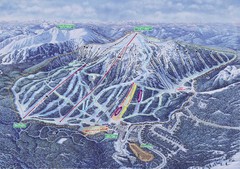
Apex Mountain Ski Resort Map
Apex Mountain Trail Map, Lifts and Elevations
307 miles away
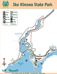
Ike Kinswa State Park Map
Map of park with detail of trails and recreation zones
308 miles away

