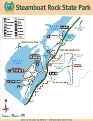
Steamboat Rock State Park Map
Map of park with detail of trails and recreation zones
210 miles away
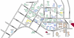
Washington State University's Greek Row Map
Map of WSU's fraternities and sororities
212 miles away

Pullman Parks Trail Map
Trails and pathways map
213 miles away
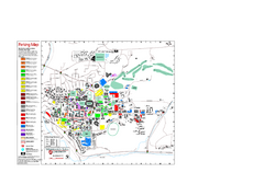
Washington State University Map
Washington State University Campus Map. All buildings shown.
213 miles away
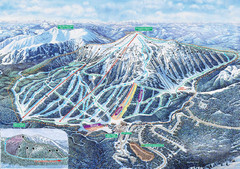
Apex Mountain Ski Trail Map
Official ski trail map of Apex Mountain ski area
217 miles away
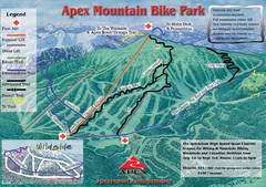
Apex Mountain Resort Biking Ski Trail Map
Trail map from Apex Mountain Resort, which provides downhill and terrain park skiing. It has 5...
217 miles away
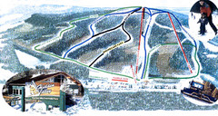
Hidden Valley Ski Trail Map
Trail map from Hidden Valley, which provides downhill skiing. This ski area has its own website.
217 miles away
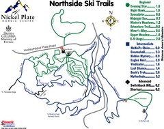
Nickel Plate Nordic Centre North Ski Trail Map
Trail map from Nickel Plate Nordic Centre.
219 miles away
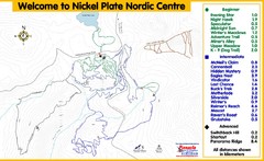
Nickel Plate Nordic Centre Ski Trail Map
Trail map from Nickel Plate Nordic Centre.
219 miles away
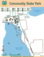
Conconully State Park Map
Map of park with detail of trails and recreation zones
221 miles away
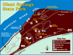
Giant Springs State Park Map
Set aside a whole afternoon to experience this scenic and historic freshwater springs site. First...
222 miles away
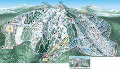
Great Divide Ski Trail Map
Official ski trail map of Great Divide ski area from the 2007-2008 season.
227 miles away
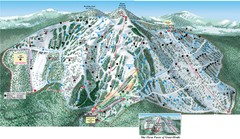
Great Divide Ski Area Ski Trail Map
Trail map from Great Divide Ski Area.
227 miles away
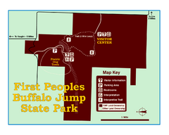
First People's Buffalo Jump State Park Map
A visitor center and interpretive trails tell the story of this prehistoric bison kill site, one of...
228 miles away
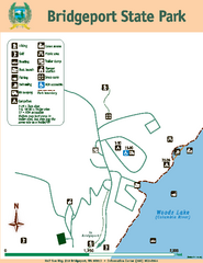
Bridgeport State Park Map
Map of park with detail of trails and recreation zones
231 miles away
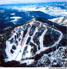
Loup Loup Ski Bowl Ski Trail Map
Trail map from Loup Loup Ski Bowl, which provides downhill, night, and nordic skiing. It has 2...
231 miles away
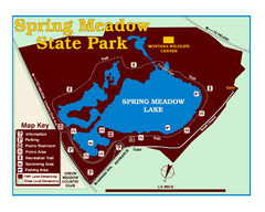
Spring Meadow Lake State Park Map
This urban, day-use-only park minutes from Helena fed by natural springs, is a popular spot for...
232 miles away
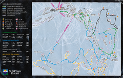
Sun Peaks Resort Nordic Ski Trail Map
Trail map from Sun Peaks Resort, which provides downhill, nordic, and terrain park skiing. This ski...
234 miles away
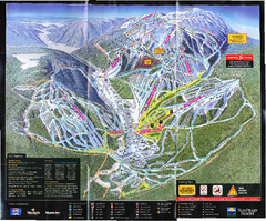
Sun Peaks Resort Ski Trail Map
Trail map from Sun Peaks Resort, which provides downhill, nordic, and terrain park skiing. This ski...
234 miles away
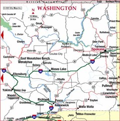
Eastern Washington Road Map
234 miles away
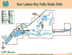
Sun Lakes-Dry Falls State Park Map
Map of park with detail of trails and recreation zones
235 miles away
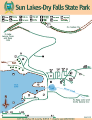
Sun Lakes-Dry Falls State Park Map
Map of park with detail of trails and recreation zones
235 miles away
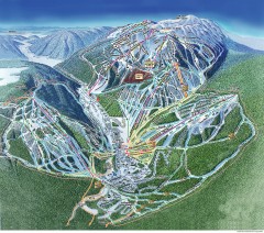
Sun Peaks Ski Trail Map
Official ski trail map of Sun Peaks ski area from the 2006-2007 season.
235 miles away
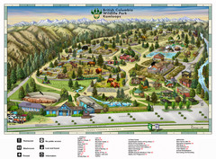
British Columbia Wildlife Park Visitor Map
Wildlife Visitor Park Map. Full color with illustrations.
236 miles away
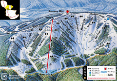
Discovery Basin Ski Area B Ski Trail Map
Trail map from Discovery Basin Ski Area.
238 miles away
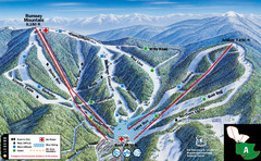
Discovery Basin Ski Area A Ski Trail Map
Trail map from Discovery Basin Ski Area.
238 miles away
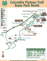
Columbia Plateau Trail State Park North Map
Map of park with detail of trails and recreation zones
239 miles away
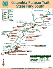
Columbia Plateau Trail State Park South Map
Map of park with detail of trails and recreation zones
239 miles away
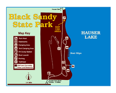
Black Sandy State Park Map
Simple but clear map of State Park.
240 miles away
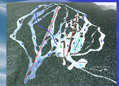
2004–09 Harper Mountain Map
Trail map from Harper Mountain, which provides downhill and nordic skiing. This ski area has its...
241 miles away
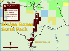
Sluice Boxes State Park Map
Remains of mines, a railroad, and historic cabins line Belt Creek as it winds through a beautiful...
241 miles away
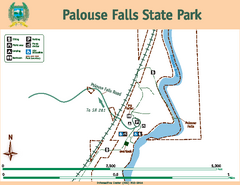
Palouse Falls State Park Map
Map of park with detail of trails and recreation zones
242 miles away
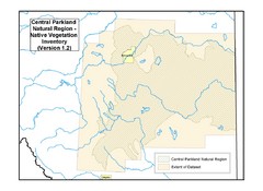
Aspen Parkland Natural Region Map
Map of area defined in the current vegetation / land use database for the Aspen Parkland Natural...
243 miles away

Helena, Montana City Map
244 miles away
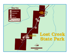
Lost Creek State Park Map
These spectacular gray limestone cliffs and pink and white granite formations rise 1,200 feet above...
244 miles away
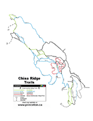
China Ridge XC Ski Trail Map
Trail map from China Ridge XC, which provides nordic skiing.
247 miles away
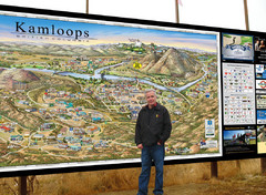
Kamloops tourist info map by Jean-Louis Rheault
Tourist map of Kamloops, British Columbia. Photo of 20 foot sign with the cartographer, Jean-Louis...
248 miles away
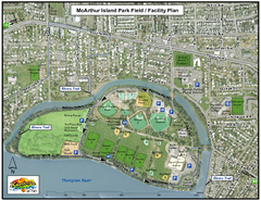
MacArthur Island Park Map
Park map of MacArthur Island Park in the Thompson River in Kamloops, BC. Shows Rivers Trail...
250 miles away
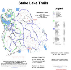
Stake Lake Nordic Ski Trail Map
Trail map from Stake Lake.
251 miles away
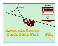
Anaconda Smoke Stack State Park Map
Simple map of State Park.
252 miles away

