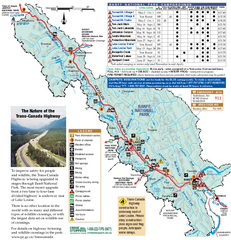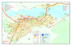
Nelson BC Town Map
98 miles away
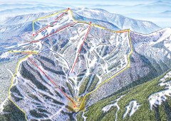
Schweitzer Ski Trail Map - Outback Bowl
Official ski trail map of back side of Schweitzer ski area from the 2007-2008 season.
101 miles away
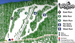
Salmo Ski Area Ski Trail Map
Trail map from Salmo Ski Area, which provides downhill skiing. This ski area has its own website.
102 miles away
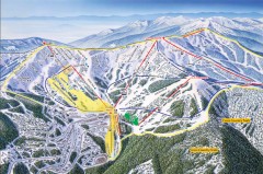
Schweitzer Ski Trail Map - Front
Official ski trail map of front side of Schweitzer ski area from the 2007-2008 season.
102 miles away
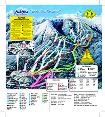
Nakiska Ski Resort Ski Trail Map
Trail map from Nakiska Ski Resort, which provides downhill skiing. This ski area has its own...
102 miles away
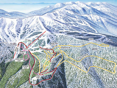
Schweitzer Mountain Trail Map
Ski trail map of Schweitzer Mountin
103 miles away

Schweitzer Mountain Trail Map
Map of ski trails
103 miles away
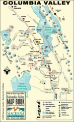
Columbia Valley Map
Easy to follow map and legend of this wilderness area.
105 miles away
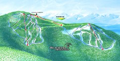
Blacktail Mountain Ski Trail Map
Official ski trail map of Blacktail Mountain ski area. See Blacktail's site for trailnames.
105 miles away

Blacktail Mountain Ski Area Ski Trail Map
Trail map from Blacktail Mountain Ski Area.
105 miles away
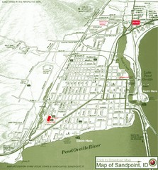
Map of Sandpoint, Idaho
Map of the entire town of Sandpoint including all streets, highways and other information.
106 miles away
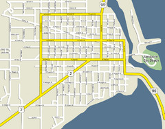
Sandpoint City Beach Map
Downtown Sandpoint Map.
106 miles away

Sandpoint City Map
Street map of downtown Sandpoint
106 miles away
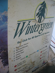
2001 Wintergreen Downhill Map Part 2
Trail map from Wintergreen.
107 miles away
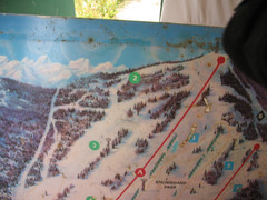
2001 Wintergreen Downhill Map Part 1
Trail map from Wintergreen.
107 miles away
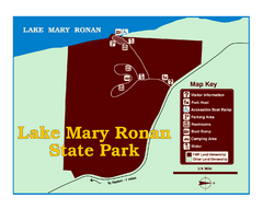
Lake Mary Ronan State Park Map
Off the beaten path just seven miles west of Flathead Lake, this park is shaded by Douglas fir and...
111 miles away
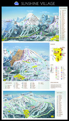
Sunshine Trail Map
Trail map of Sunshine Village
116 miles away
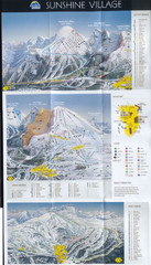
Banff’s Sunshine Village Ski Trail Map
Trail map from Banff’s Sunshine Village.
116 miles away
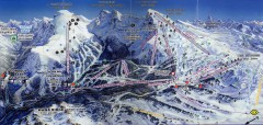
Sunshine Village Ski Trail Map
Official ski trail map of Sunshine Village ski area.
116 miles away
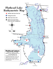
Bathymetric Map of Flathead Lake
Bathymetry refers to underwater depth
116 miles away
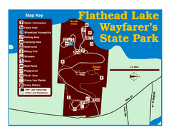
Wayfarers State Park Map
118 miles away
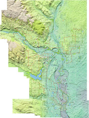
Calgary Topo Bike Map
This map shows the city of Calgary's bike routes. The topographic representation of the...
118 miles away
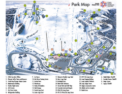
Canada Olympic Park Ski Trail Map
Trail map from Canada Olympic Park, which provides downhill skiing. This ski area has its own...
118 miles away
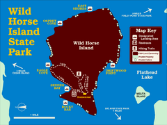
Wild Horse Island State Park Map
Boat access to this day-use-only, primitive park is regulated to protect the 2,000-acre island. The...
119 miles away
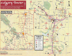
Calgary Tourist Map
Tourist map of Calgary, Canada. Shows points of interest. Scanned.
119 miles away
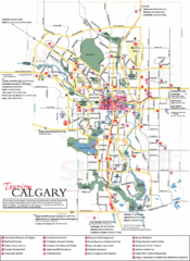
Calgary Map
119 miles away
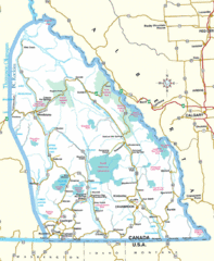
Kootenay Mountains Map
120 miles away
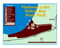
Yellow Bay State Park Map
Yellow Bay is in the heart of the famous Montana sweet cherry orchards, blossoms color the...
120 miles away
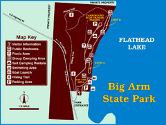
Big Arm State Park Map
Clear map and map key of Park camping grounds.
120 miles away

City of Trail BC Map
Map of city of Trail, BC on the Columbia River
121 miles away
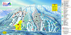
Norquay Map
Ski trail map
121 miles away
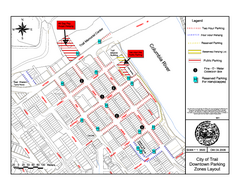
City of Trail Downtown Parking Map
Parking map of downtown Trail, British Columbia
121 miles away
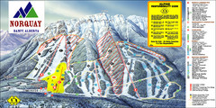
Banff Mount Norquay Ski Trail Map
Trail map from Banff Mount Norquay, which provides downhill skiing. This ski area has its own...
123 miles away
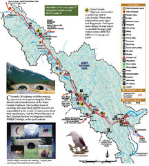
Banff National Park Map
123 miles away

2006–08 Black Jack Nordic Map
Trail map from Black Jack.
125 miles away
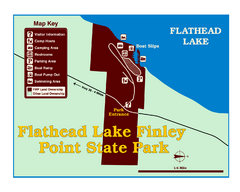
Finley Point State Park Map
This park is located in a secluded, mature pine forest near the south end of Flathead Lake. Enjoy...
125 miles away

Red Mountain Ski Trail Map
Trail map from Red Mountain.
126 miles away

Red Mountain Trail Map
Ski trail map
126 miles away
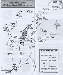
Little Pend Oreille Off Road Vehicle (ORV) Area...
Map of the Off Road Vehicle Area in Little Pend Oreille, Washington. Includes all bike trails...
129 miles away

