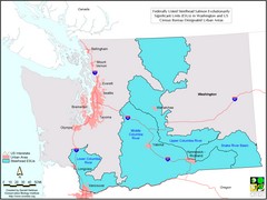
Washington Steelhead Salmon Map
Shows federally listed steelhead salmon evolutionarily significant units in Washington state.
192 miles away
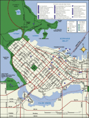
Vancouver Tourist Map
Tourist map of downtown Vancouver
192 miles away
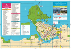
Map of Greater Vancouver
Tourism Vancouver's official map of Greater Vancouver. Shows accomodations, attractions...
192 miles away
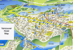
Vancouver Hotels Map
192 miles away
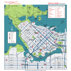
Downtown Vancouver Map
192 miles away
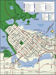
Vancouver Map
Street map of Vancouver
192 miles away
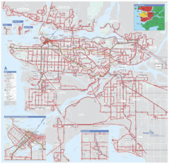
Vancouver Regional Transportation System Map
192 miles away
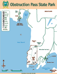
Obstruction Pass State Park Map
Map of park with detail of trails and recreation zones
193 miles away
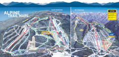
Cypress Mountain Ski Trail Map
Official ski trail map of Cypress Mountain ski area from the 2007-2008 season. Official freestyle...
193 miles away
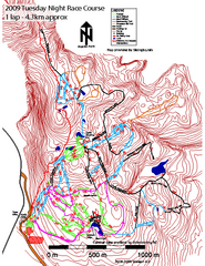
Cypress Mountain Tuesday Night Race Course Ski...
Trail map from Cypress Mountain, which provides downhill, night, nordic, and terrain park skiing...
193 miles away
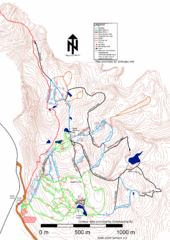
Cypress Mountain Nordic (Skiingbc.info Topo...
Trail map from Cypress Mountain, which provides downhill, night, nordic, and terrain park skiing...
193 miles away
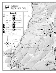
Cypress Provincial Park Map
Park map of Cypress Provincial Park, BC. Home of the North Shore Mountains. 2 pages.
193 miles away
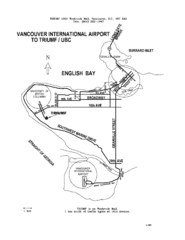
Vancouver Locational Map
Visitor Information Map includes directions from the Vancouver International Airport to the...
194 miles away
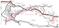
Trail of the Coeur d'Alenes Map
Shows the Trail of the Coeur d'Alenes, a 72 mile bike path that follows the Union Pacific...
195 miles away
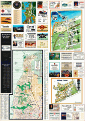
Mukilteo tourist map
Greater Mukilteo, Washington tourist map. Shows all businesses.
195 miles away
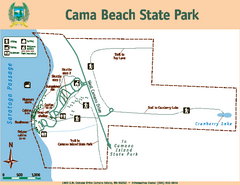
Cama Beach State Park Map
Map of park with detail of trails and recreation zones
195 miles away
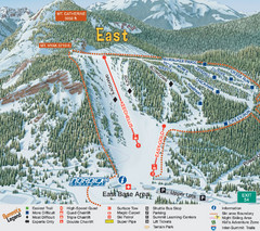
The Summit at Snoqualmie Summit East Ski Trail Map
Trail map from The Summit at Snoqualmie, which provides night and terrain park skiing. It has 30...
196 miles away
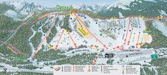
The Summit at Snoqualmie Summit Central Ski Trail...
Trail map from The Summit at Snoqualmie, which provides night and terrain park skiing. It has 30...
196 miles away

Oak Harbor tourist map
Tourist map of Oak Harbor, Washington. Shows all businesses.
196 miles away
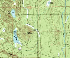
Fuller Mountain Topo Map
Fuller Mountain map with lakes, mountains and elevations identified.
196 miles away
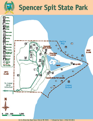
Spencer Spit State Park Map
Map of park with detail of trails and recreation zones
196 miles away
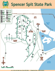
Spencer Spit State Park Map
Map of park with detail of trails and recreation zones
196 miles away
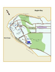
Downtown Vancouver Map
196 miles away
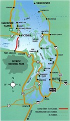
British Columbia, Canada Tourist Map
197 miles away
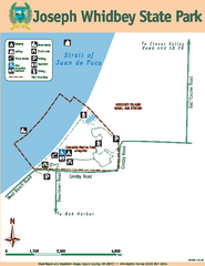
Joseph Whidbey State Park Map
Map of park with detail of trails and recreation zones
197 miles away
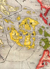
San Juan County Washington, 1909 Map
198 miles away

Orcas tourist map
Tourist map of Orcas, Washington. Shows all businesses.
198 miles away
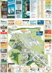
Mukilteo tourist map
Mukilteo, Washington tourist map. Shows all businesses.
198 miles away
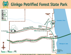
Ginkgo Petrified Forest State Park Map
Map of park with detail of trails and recreation zones
198 miles away
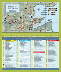
Bownen Island Tourist Map
199 miles away

Bowen Island 3D Aerial Map
3d aerial map of Bowen Island, BC
199 miles away

Woodinville tourist map
Tourist map of Woodinville, Washington. Shows all businesses.
200 miles away
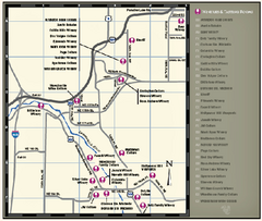
Woodinville Wine Country Map
Map of wineries in the Woodinville, WA area
200 miles away

South Whidbey tourist map
Tourist map of South Whidbey, Washington. Shows all businesses.
200 miles away

Coupeville tourist map
Tourist map of Coupeville, Washington. Shows all businesses.
200 miles away
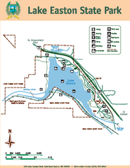
Lake Easton State Park Map
Map of island with detail of trails and recreation zones
200 miles away

South Whidbey Island tourist map
Tourist map of South Whidbey Island, Washington. Shows all businesses.
200 miles away
Silver Mountain Resort Ski Trail Map
Trail map from Silver Mountain Resort, which provides downhill, night, and terrain park skiing. It...
200 miles away
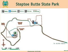
Steptoe Butt State Park Map
Map of park with detail of trails and recreation zones
200 miles away
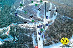
Pass Powderkeg Ski Trail Map
Trail map from Pass Powderkeg, which provides downhill skiing. This ski area has its own website.
201 miles away

