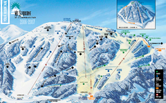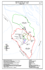
2004–06 Golden Golf Course Trail Map
Trail map from Golden Golf Course.
140 miles away
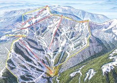
Schweitzer Ski Trail Map - Outback Bowl
Official ski trail map of back side of Schweitzer ski area from the 2007-2008 season.
140 miles away
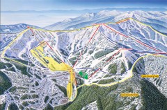
Schweitzer Ski Trail Map - Front
Official ski trail map of front side of Schweitzer ski area from the 2007-2008 season.
140 miles away
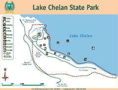
Lake Chelan State Park Map
Map of island with detail of trails and recreation zones
140 miles away
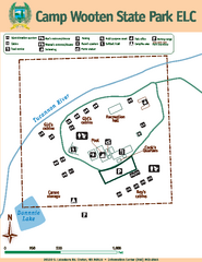
Camp Wooten State Park Map
Map of park with detail of trails and recreation zones
141 miles away
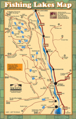
Radium Hot Springs Fishing Map
Beautiful map of the many fishing spots at this amazing site.
141 miles away
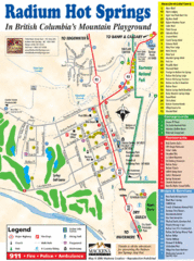
Radium Hot Springs Map
An easy to read map of this amazing hot springs area.
141 miles away

Kootenay Rockies Map
The Kootenay Rockies Range in British Columbia, Canada
141 miles away
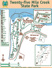
Twenty-Five Mile Creek State Park Map
Map of park with detail of trails and recreation zones
141 miles away

Schweitzer Mountain Trail Map
Map of ski trails
142 miles away
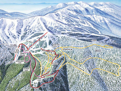
Schweitzer Mountain Trail Map
Ski trail map of Schweitzer Mountin
142 miles away
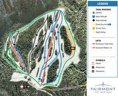
Fairmont Hot Springs Resort Ski Trail Map
Trail map from Fairmont Hot Springs Resort.
144 miles away
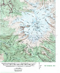
Mt. Baker Topo Map
Topo map of Mt. Baker, Washington, elevation 10,778ft.
146 miles away

Sandpoint City Map
Street map of downtown Sandpoint
147 miles away
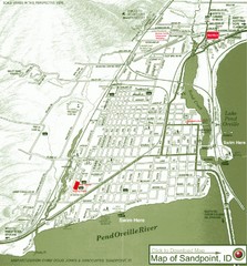
Map of Sandpoint, Idaho
Map of the entire town of Sandpoint including all streets, highways and other information.
147 miles away
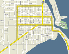
Sandpoint City Beach Map
Downtown Sandpoint Map.
147 miles away
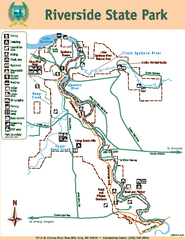
Riverside State Park Map
Map of park with detail of trails and recreation zones
148 miles away
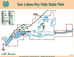
Sun Lakes-Dry Falls State Park Map
Map of park with detail of trails and recreation zones
149 miles away
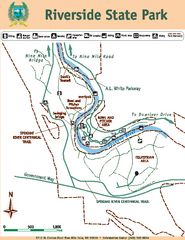
Riverside State Park Map
Map of park with detail of trails and recreation zones
149 miles away
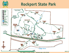
Rockport State Park Map
Map of park with detail of trails and recreation zones
149 miles away
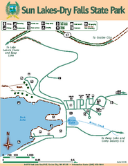
Sun Lakes-Dry Falls State Park Map
Map of park with detail of trails and recreation zones
149 miles away
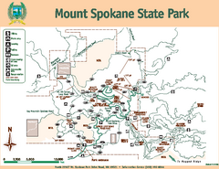
Mount Spokane State Park Map
Map of park with detail of trails and recreation zones
149 miles away
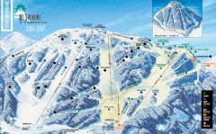
Mt. Spokane Ski Trail Map
Official ski trail map of Mount Spokane ski area from the 2006-2007 season.
149 miles away
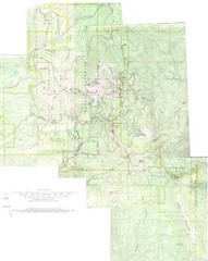
Mount Spokane Trail Map
Contour map of Mount Spokane
149 miles away
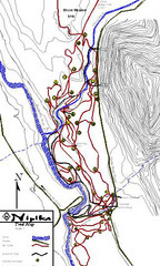
Nipika Ski Trail Map
Trail map from Nipika, which provides nordic skiing. This ski area has its own website.
152 miles away
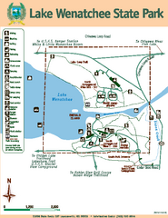
Lake Wenatchee State Park Map
Map of island with detail of trails and recreation zones
156 miles away
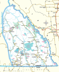
Kootenay Mountains Map
158 miles away
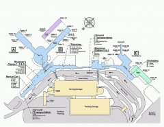
Spokane International Airport Terminal Map
Official Map of Spokane International Airport in Washington state. Shows all terminals.
158 miles away
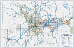
Spokane, Washington Bike Map
158 miles away
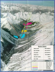
Cayoosh Resort (Melvin Creek) Ski Trail Map
Trail map from Cayoosh Resort (Melvin Creek), which provides downhill skiing.
158 miles away
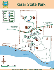
Rasar State Park Map
Map of park with detail of trails and recreation zones
159 miles away
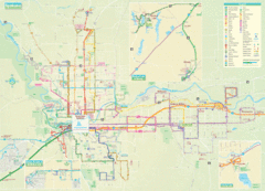
Spokane Guide Map
Roads and areas in and around Spokane, Washington
159 miles away
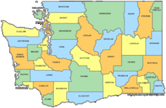
Washington State Counties Map
159 miles away
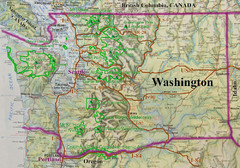
Washington State Road and Recreation Map
159 miles away
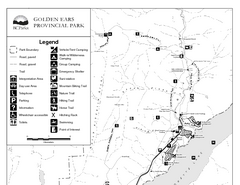
Golden Ears Provincial Park Map
Park map of Golden Ears Provincial Park, BC. 2 pages.
160 miles away
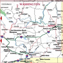
Eastern Washington Road Map
160 miles away
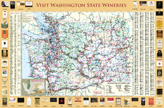
Washington State Winery Map
Washington State Winery Map
163 miles away
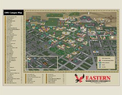
Eastern Washington University Campus Map
Campus map of Eastern Washington University in Cheney, Washington
166 miles away
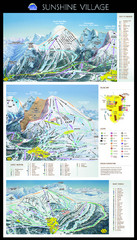
Sunshine Trail Map
Trail map of Sunshine Village
167 miles away

