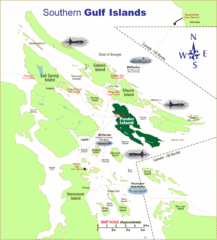
Southern Gulf Islands Map
Map of the region. Shows ferry routes.
399 miles away
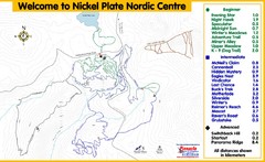
Nickel Plate Nordic Centre Ski Trail Map
Trail map from Nickel Plate Nordic Centre.
399 miles away
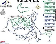
Nickel Plate Nordic Centre North Ski Trail Map
Trail map from Nickel Plate Nordic Centre.
399 miles away
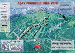
Apex Mountain Resort Biking Ski Trail Map
Trail map from Apex Mountain Resort, which provides downhill and terrain park skiing. It has 5...
399 miles away
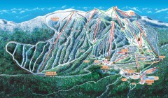
Big White Ski Trail Map
Official ski trail map of Big White ski area from the 2007-2008 season.
399 miles away
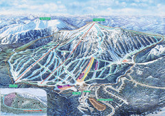
Apex Mountain Ski Trail Map
Official ski trail map of Apex Mountain ski area
400 miles away
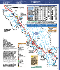
Banff National Park map
Official Parks Canada map of Banff National Park. Birthplace of Canada's national park system...
400 miles away
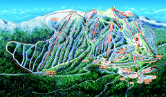
Big White Ski Resort Ski Trail Map
Trail map from Big White Ski Resort, which provides downhill, night, nordic, and terrain park...
400 miles away
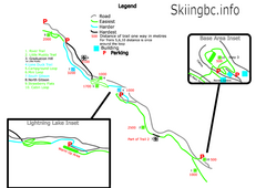
Manning Park Resort 2004–07 Manning Park...
Trail map from Manning Park Resort, which provides downhill and nordic skiing. It has 4 lifts...
402 miles away
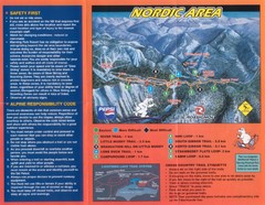
Manning Park Resort 2004–07 Manning Park Cross...
Trail map from Manning Park Resort, which provides downhill and nordic skiing. It has 4 lifts...
402 miles away
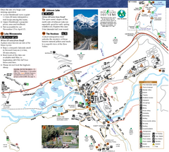
Banff National Park Map
Map of park with detail of trails and recreation zones
404 miles away
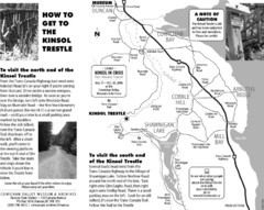
Kinsol Trestle Map
Map of the Kinsol Trestle
404 miles away
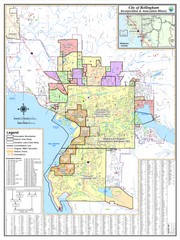
Bellingham, Washington City Map
405 miles away
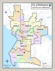
Bellingham Ward Map
Guide to wards in Bellingham, WA
405 miles away
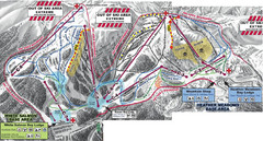
Mt. Baker Ski Area Ski Trail Map
Trail map from Mt. Baker Ski Area, which provides terrain park skiing. It has 10 lifts servicing 38...
406 miles away
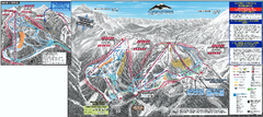
Mt. Baker Ski Trail Map
Official ski trail map of Mount Baker ski area from the 2007-2008 season.
407 miles away

The Town of Sidney - Parks Map
408 miles away
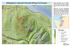
Bellingham Galbraith Mountain Biking Trail Map
Mountain biking trail map of Whatcom Falls Park near Bellingham, WA
408 miles away
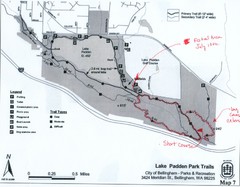
Lake Padden Park Trails Map
Course Elevation Map noted in handwriting on map. Festival location noted as well.
409 miles away
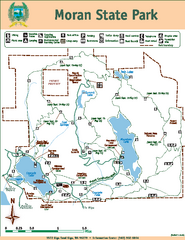
Moran State Park Map
Map of park with detail of trails and recreation zones
409 miles away
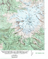
Mt. Baker Topo Map
Topo map of Mt. Baker, Washington, elevation 10,778ft.
410 miles away

rthsaanich.ca District Map
411 miles away
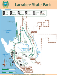
Larrabee State Park Map
Park map of Larrabee State Park, Washington.
412 miles away
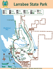
Larrabee State Park Map
Map of island with detail of trails and recreation zones
412 miles away
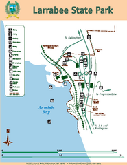
Larrabee State Park Map
Map of island with detail of trails and recreation zones
412 miles away

West Coast Trail Map
413 miles away

Orcas tourist map
Tourist map of Orcas, Washington. Shows all businesses.
413 miles away
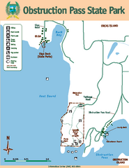
Obstruction Pass State Park Map
Map of park with detail of trails and recreation zones
414 miles away
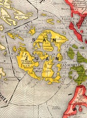
San Juan County Washington, 1909 Map
415 miles away
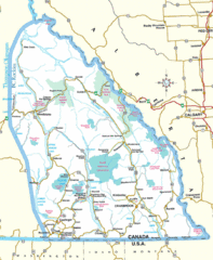
Kootenay Mountains Map
416 miles away

Galloping Goose and Lochside Regional Trails Map
417 miles away

San Juan Island tourist map
San Juan Island and Friday Harbor tourist map. Shows all businesses.
417 miles away
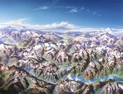
North Cascades National Park Oblique Map
Oblique map looking across Ross Damn, and Diablo Lake towards Seattle
417 miles away
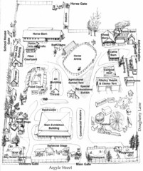
San Juan County Fair Map 2008
Fairgrounds map for the San Juan County Fair, Friday Harbor, Washington
418 miles away
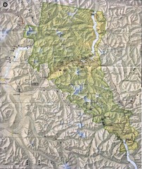
North Cascades National Park Physical Map
National Park
418 miles away
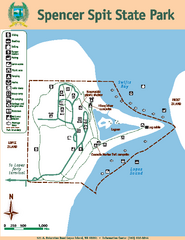
Spencer Spit State Park Map
Map of park with detail of trails and recreation zones
418 miles away
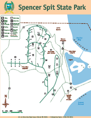
Spencer Spit State Park Map
Map of park with detail of trails and recreation zones
418 miles away

