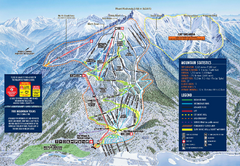
Revelstoke Ski Trail Map 2009-2010
Official ski trail map of Revelstoke Mountain Resort from the 2009-2010 season.
354 miles away
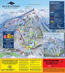
Revelstoke Ski Trail Map 2010-11
Ski trail map of Revelstoke Mountain Resort for the 2010-2011 season. Inset shows North Bowl area.
354 miles away
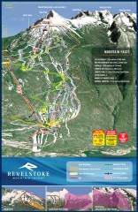
Revelstoke Ski Trail Map
Official ski trail map of Revelstoke ski area from the inaugural 2007-2008 season.
354 miles away
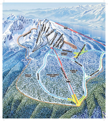
Revelstoke Ski Trail Map - North Bowl
Ski trail map of the North Bowl of Revelstoke ski area in Revelstoke, BC. From the 2008-2009...
354 miles away
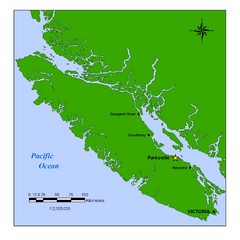
Vancouver Island Overview Map
Town of Parksville highlighted.
356 miles away
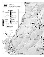
Cypress Provincial Park Map
Park map of Cypress Provincial Park, BC. Home of the North Shore Mountains. 2 pages.
357 miles away
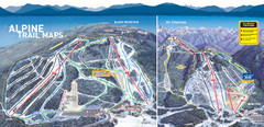
Cypress Mountain Ski Trail Map
Official ski trail map of Cypress Mountain ski area from the 2007-2008 season. Official freestyle...
357 miles away
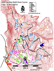
Cypress Mountain Tuesday Night Race Course Ski...
Trail map from Cypress Mountain, which provides downhill, night, nordic, and terrain park skiing...
357 miles away
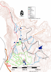
Cypress Mountain Nordic (Skiingbc.info Topo...
Trail map from Cypress Mountain, which provides downhill, night, nordic, and terrain park skiing...
357 miles away
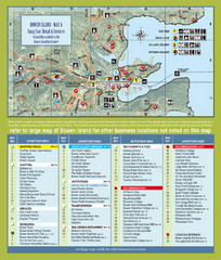
Bownen Island Tourist Map
357 miles away

Bowen Island 3D Aerial Map
3d aerial map of Bowen Island, BC
357 miles away
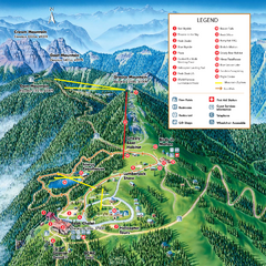
Grouse Mountain Summer Trail Map
Summer trail map of Grouse Mountain Resort near Vancouver, BC.
358 miles away
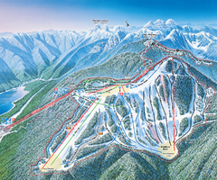
Grouse Mountain Ski Trail Map
Trail map from Grouse Mountain, which provides downhill, night, and terrain park skiing. It has 5...
359 miles away
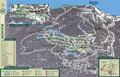
Sovereign Lake Nordic Ski Trail Map
Trail map from Sovereign Lake, which provides night and nordic skiing. This ski area has its own...
359 miles away
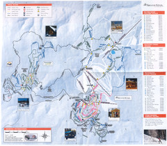
Sovereign Lake Ski Trail Map
Trail map from Sovereign Lake, which provides night and nordic skiing. This ski area has its own...
359 miles away

Alpine Mountain Trail Map
Ski trails on Alpine Mountain
360 miles away
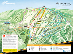
Silver Star Mountain Resort Summer Ski Trail Map
Trail map from Silver Star Mountain Resort.
360 miles away
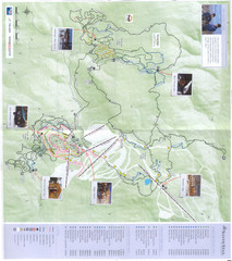
Silver Star Mountain Resort Nordic Ski Trail Map
Trail map from Silver Star Mountain Resort.
360 miles away
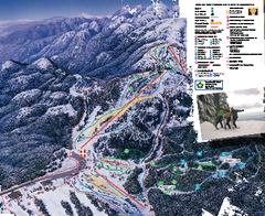
Mount Seymour Ski Trail Map
Trail map from Mount Seymour, which provides downhill, night, and terrain park skiing. It has 5...
360 miles away
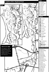
Capilano River Park Trail Map
Trail map of Capilano River Regional Park near Vancouver, BC
361 miles away
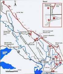
Log Train Trail Map
Trail map of the Log Train Trail near Port Alberni, Vancouver Island
362 miles away
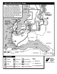
Belcarra Regional Park Trail Map
Trail map of Belcarra Regional Park, BC
363 miles away
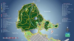
Stanley Park Map
363 miles away
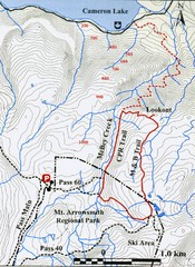
Mt. Arrowsmith Park CPR Historic Trail Map
Trail map of Mt. Arrowsmith Regional Park CPR Historic Trail, Vancouver Island
363 miles away
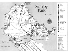
Stanley Park Trail Map
Trail map of Stanley Park near downtown Vancouver, BC. Shows monuments.
364 miles away
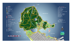
Stanley Park Map
Overview trail map of Stanley Park in Vancouver, BC.
364 miles away
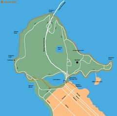
Stanley Park Map
364 miles away
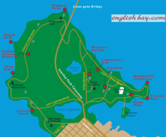
Stanely Park Map
364 miles away
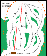
Mount Arrowsmith (Upper) Ski Trail Map
Trail map from Mount Arrowsmith (Upper).
365 miles away
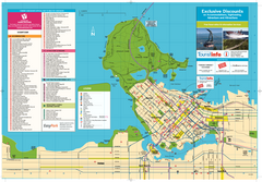
Map of Greater Vancouver
Tourism Vancouver's official map of Greater Vancouver. Shows accomodations, attractions...
365 miles away
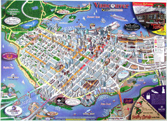
Vancouver Downtown Map
Panoramic tourist map of downtown Vancouver, BC. Shows major buildings in 3D.
365 miles away
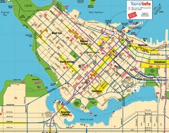
Vancouver Downtown Map
Detailed street map of Downtown Vancouver
365 miles away
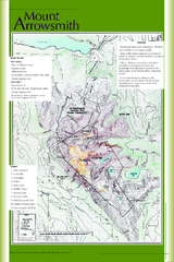
Mount Arrowsmith Climbing Route Map
Climbing routes on Mount Arrowsmith, Vancouver Island
366 miles away
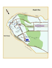
Downtown Vancouver Map
366 miles away
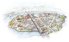
Granville Island Map
366 miles away
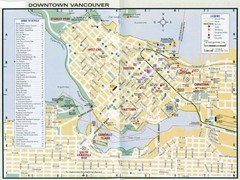
Vancouver Map
366 miles away
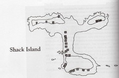
Shack Island Map
Illustration taken from the book "Shack Island" by Ruth English Matson. 2004.
366 miles away
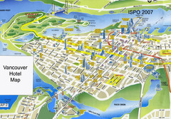
Vancouver Hotels Map
366 miles away
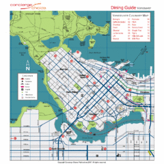
Downtown Vancouver Map
366 miles away

