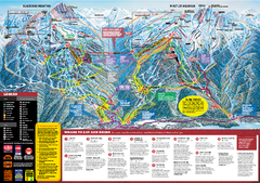
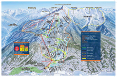
Whistler Blackcomb Trail map 2010-2011
Official ski trail map Whistler Blackcomb for the 2010-2011 season.
311 miles away
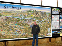
Kamloops tourist info map by Jean-Louis Rheault
Tourist map of Kamloops, British Columbia. Photo of 20 foot sign with the cartographer, Jean-Louis...
311 miles away
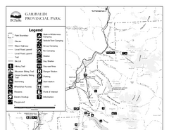
Garibaldi Provincial Park Map
Park map of Garibaldi Provincial Park, BC. 2 pages.
312 miles away
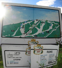
Silver Summit Ski Trail Map
Trail map from Silver Summit, which provides downhill and nordic skiing. This ski area has its own...
312 miles away
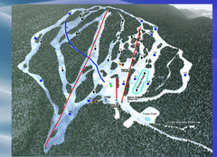
2004–09 Harper Mountain Map
Trail map from Harper Mountain, which provides downhill and nordic skiing. This ski area has its...
313 miles away
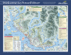
Upper Sunshine Coast Recreation Map
Recreation map of Upper Sunshine Coast in BC. Shows hiking trails, kayaking and canoeing routes...
317 miles away
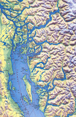
Northern Gulf Map
Map of Northern Gulf Islands
317 miles away
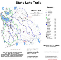
Stake Lake Nordic Ski Trail Map
Trail map from Stake Lake.
318 miles away
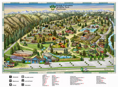
British Columbia Wildlife Park Visitor Map
Wildlife Visitor Park Map. Full color with illustrations.
319 miles away
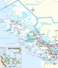
Vancouver Island Park Map
Parks and roads on Vancouver Island.
323 miles away
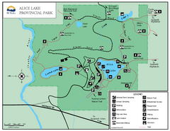
Alice Lake Provincal Park Map
331 miles away
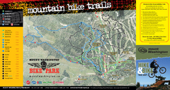
Mt. Washington Resort Summer Mountain Biking Ski...
Trail map from Mt. Washington Resort, which provides downhill and nordic skiing.
334 miles away
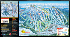
Mt. Washington Resort Ski Trail Map
Trail map from Mt. Washington Resort, which provides downhill and nordic skiing.
334 miles away
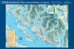
Sunshine Coast Recreation Map
Recreation map of the Sunshine Coast in BC. Shows trails for hiking (in yellow) and mountain...
335 miles away
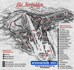
Pre-1999 Forbidden Plateau Map #2
Trail map from Forbidden Plateau.
338 miles away
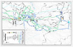
Larch Hills Nordics Core Ski Trail Map
Trail map from Larch Hills Nordics, which provides night and nordic skiing. This ski area has its...
339 miles away
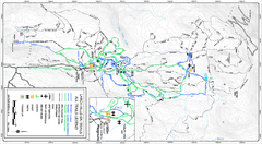
Larch Hills Nordics All Ski Trail Map
Trail map from Larch Hills Nordics, which provides night and nordic skiing. This ski area has its...
339 miles away
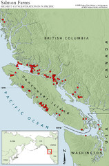
BC Salmon Farms Map
Shows fishfarms in BC around Vancouver Island, highest concentration of fish farms in North Pacific
340 miles away
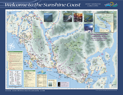
Lower Sunshine Coast Recreation Map
Recreation map of the Lower Sunshine Coast in BC. Shows hiking trails, mountain biking trails...
341 miles away
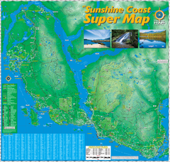
Sunshine Coast Super Map
Sunshine Coast Super Map Poster. 44" X 42". Also Available in folded version.
344 miles away
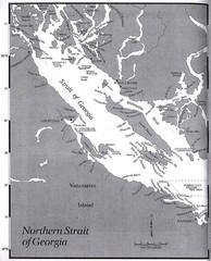
Northern Strait of Georgia Map
345 miles away
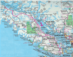
Vancouver Island Road Map
346 miles away
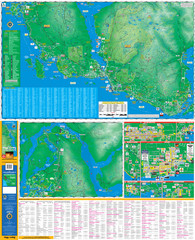
Folded Sunshine Coast Super Map
Folded Sunshine Coast Super Map
346 miles away
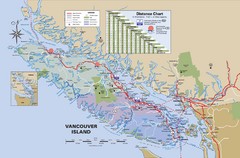
Vancouver Island Map
348 miles away
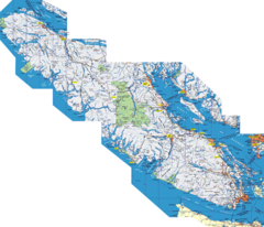
Vancouver Island Map
Detailed map of Vancouver Island, British Columbia. Shows towns, roads, and parks.
348 miles away
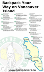
Vancouver Island Backpacking Map
Shows hostels on Vancouver Island, BC
348 miles away
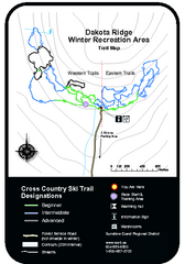
Dakota Ridge Ski Trail Map
Trail map from Dakota Ridge, which provides nordic skiing. This ski area has its own website.
348 miles away
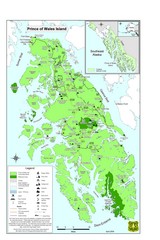
Prince of Wales Island Map
Overview map of Prince of Wales Island, Alaska. Shows wilderness areas.
348 miles away
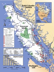
Vancouver Island Road Map
349 miles away
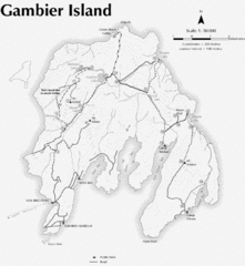
Gambier Island Trail Map
Trail map of Gambier Island, BC. See site for trail descriptions and details.
350 miles away

Revelstoke City Map
Overview map of Revelstoke, BC. Shows Points of Interest and activity icons
350 miles away
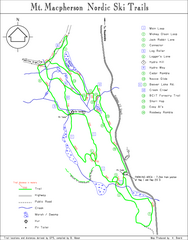
Mt Macpherson Nordic Ski Trail map
Nordic ski trail map of Mt Macpherson area near Revelstoke, BC. Shows trail names and distances in...
351 miles away
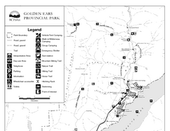
Golden Ears Provincial Park Map
Park map of Golden Ears Provincial Park, BC. 2 pages.
352 miles away
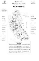
Mt. Macpherson Mountain Bike Trail Map
Mountain bike trail maps of Mt. Macpherson area and Mt. Mackenzie area right out of the town of...
352 miles away
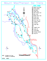
Revelstoke Nordic—Mount MacPherson Nordic Ski...
Trail map from Revelstoke Nordic—Mount MacPherson, which provides nordic skiing. This ski area...
352 miles away
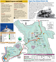
Glacier National Park and Revelstoke National...
Official park map of Glacier National Park and Revelstoke National Park in British Columbia, Canada.
353 miles away
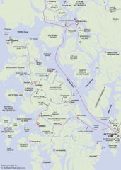
Prince of Wales Island Map
Shows area around Prince of Wales Island, Alaska, from Ketchikan to Wrangell.
353 miles away

Edmonton, Alberta Tourist Map
Edmonton, Alberta and the area west of it
353 miles away
Revelstoke Ski Trail Map - Front side
Ski trail map of front side of Revelstoke ski area in Revelstoke, Canada from the 2008-2009 season.
354 miles away


