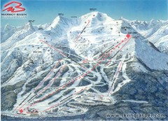
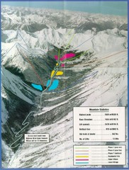
Jasper’s Marmot Basin Future Lift for Ski Trail...
Trail map from Jasper’s Marmot Basin, which provides downhill skiing. This ski area has its own...
278 miles away
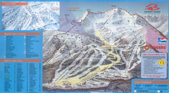
Jasper’s Marmot Basin Ski Trail Map
Trail map from Jasper’s Marmot Basin, which provides downhill skiing. This ski area has its own...
278 miles away
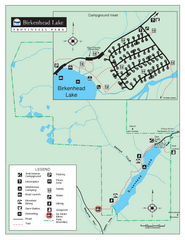
Birkenhead Lake Provincial Park Map
Park map of Birkenhead Lake Provincial Park, BC. Inset of campground
281 miles away
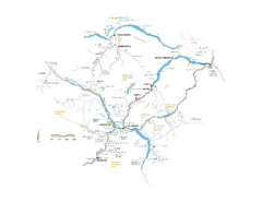
Pemberton Valley Area Parks Map
Area parks map of Pemberton Valley area in BC. Shows peaks and lakes.
283 miles away
Cayoosh Resort (Melvin Creek) Ski Trail Map
Trail map from Cayoosh Resort (Melvin Creek), which provides downhill skiing.
289 miles away
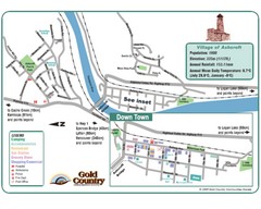
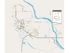
Ashcroft Map
Map of Ashcroft, includes all streets, highways, accommodations and attractions.
290 miles away
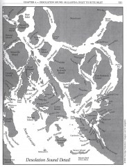
Desolation Sound Detail Map
Shows general geography of Desolation Sound from Malaspina Inlet to Bute Inlet. Shows Cortes Bay...
300 miles away
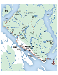
Ketchikan Area Map
Map of Ketchikan, Alaska and Revillagigedo Island. Shows trails, lakes, parks, and main roads.
302 miles away
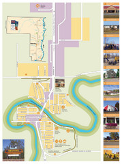
Manning Town Map
305 miles away
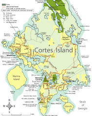
Cortes Island Tourist Map
Places of interest.
306 miles away
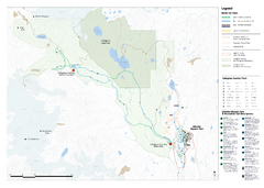
Callaghan Country Nordic Ski Trail Map
Trail map from Callaghan Country, which provides nordic skiing. This ski area opened in 1998, and...
306 miles away
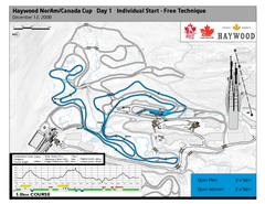
Whistler Olympic Park (Callaghan Nordic Centre...
Trail map from Whistler Olympic Park (Callaghan Nordic Centre), which provides night and nordic...
307 miles away
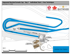
Whistler Olympic Park (Callaghan Nordic Centre...
Trail map from Whistler Olympic Park (Callaghan Nordic Centre), which provides night and nordic...
307 miles away
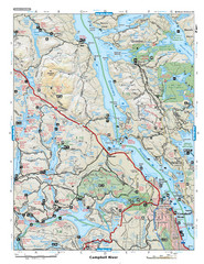
Campbell River Area Map
Vancouver Island, Victoria & Gulf Islands
307 miles away
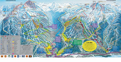
Trail Map Whistler Blackcomb
Map of all trails and ski runs at Whistler and Blackcomb mountains. Includes detailed information...
308 miles away
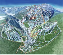
Sun Peaks Ski Trail Map
Official ski trail map of Sun Peaks ski area from the 2006-2007 season.
308 miles away
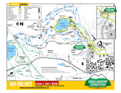
Lost Lake, Whistler Hiking and Biking Trail Map
308 miles away
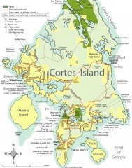
Cortes Island tourist map
Tourist map of Cortes Island in British Columbia, Canada. Shows businesses and roads.
309 miles away
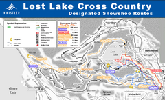
Whistler Cross Country Connection Snowshoeing Ski...
Trail map from Whistler Cross Country Connection.
309 miles away
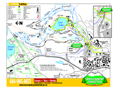
Whistler Cross Country Connection 2006–07...
Trail map from Whistler Cross Country Connection.
309 miles away
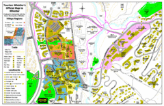
Whistler Village Map
309 miles away
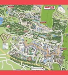
Whistler Village Map
309 miles away
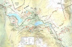
Whistler, CA Hiking and Biking Trails Map
309 miles away
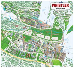
Whistler Village Map
309 miles away
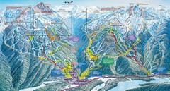
Whistler Blackcomb Trail Map
309 miles away
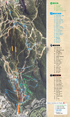
Whistler Blackcomb (Garibaldi Lift Co.) Biking...
Trail map from Whistler Blackcomb (Garibaldi Lift Co.), which provides downhill, night, and terrain...
309 miles away
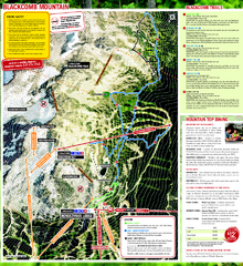
Whistler Blackcomb (Garibaldi Lift Co.) Hiking...
Trail map from Whistler Blackcomb (Garibaldi Lift Co.), which provides downhill, night, and terrain...
309 miles away
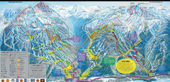
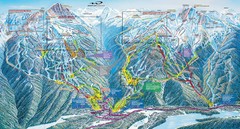
Whistler Blackcomb Ski Resort Map
Ski runs, lifts and amenities on the resort map
309 miles away
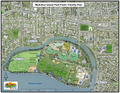
MacArthur Island Park Map
Park map of MacArthur Island Park in the Thompson River in Kamloops, BC. Shows Rivers Trail...
309 miles away
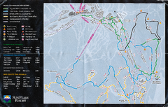
Sun Peaks Resort Nordic Ski Trail Map
Trail map from Sun Peaks Resort, which provides downhill, nordic, and terrain park skiing. This ski...
310 miles away
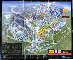
Sun Peaks Resort Ski Trail Map
Trail map from Sun Peaks Resort, which provides downhill, nordic, and terrain park skiing. This ski...
310 miles away

Creekside Map
Tourist map of Creekside Village
310 miles away
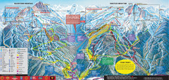
Whistler Blackcomb Ski Trail Map 2007-2008
Official ski trail map of the Whistler Blackcomb ski area from the 2007-2008 season. Site of Alpine...
311 miles away
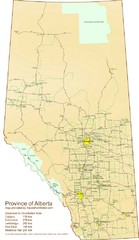
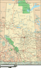
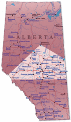
Alberta Tourist Map
Cities and areas in Alberta, Canada
311 miles away
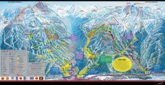
Whistler Blackcomb Ski Trail map 2005-06
Official ski trail map of the Whistler Blackcomb ski area from the 2005-2006 season. Site of the...
311 miles away

