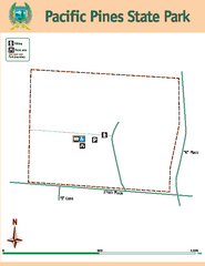
Pacific Pines State Park Map
Map of park with detail of trails and recreation zones
555 miles away
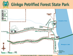
Ginkgo Petrified Forest State Park Map
Map of park with detail of trails and recreation zones
555 miles away
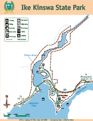
Ike Kinswa State Park Map
Map of park with detail of trails and recreation zones
555 miles away
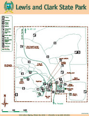
Lewis and Clark State Park Map
Map of park with detail of recreation zones and trails
556 miles away
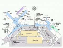
Spokane International Airport Terminal Map
Official Map of Spokane International Airport in Washington state. Shows all terminals.
557 miles away
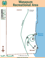
Wanapum Recreational Area Map
Map of park with detail of trails and recreation zones
558 miles away
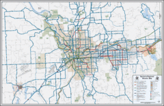
Spokane, Washington Bike Map
558 miles away
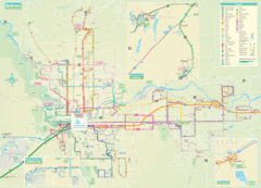
Spokane Guide Map
Roads and areas in and around Spokane, Washington
559 miles away
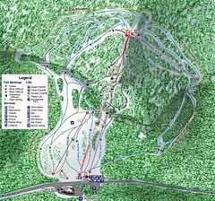
White Pass Ski Area Ski Trail Map
Trail map from White Pass Ski Area, which provides downhill, nordic, and terrain park skiing. It...
559 miles away
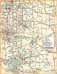
Southern Alberta Map
Shows highways, cities and towns, national/provincial parks and recreation areas, UNESCO World...
559 miles away
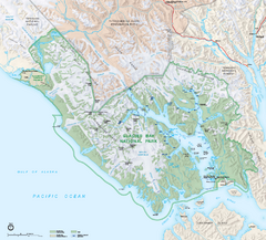
Glacier Bay National Park & Preserve Official...
Official NPS map of Glacier Bay National Park & Preserve in Alaska. Glacier Bay National Park...
561 miles away
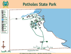
Potholes State Park Map
Map of park with detail of trails and recreation zones
563 miles away
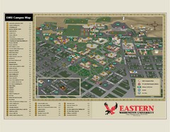
Eastern Washington University Campus Map
Campus map of Eastern Washington University in Cheney, Washington
565 miles away
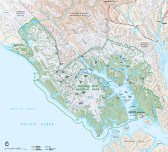
Glacier Bay National Park map
Detailed map of Glacier Bay National Park and Preservation in Alaska
568 miles away
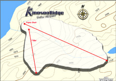
Kinosoo Ridge Topo Ski Trail Map
Trail map from Kinosoo Ridge, which provides downhill skiing. This ski area has its own website.
569 miles away
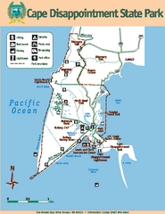
Cape Dissapointment State Park Map
Map of park with detail of trails and recreation zones
570 miles away

Yakima, Washington City Map
571 miles away
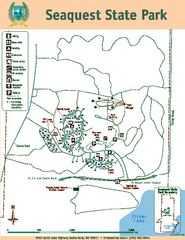
Seaquest State Park Map
Map of park with detail of trails and recreation zones
572 miles away
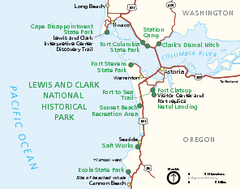
Lewis & Clark National Historic Trail...
Official NPS map of Lewis & Clark National Historic Trail in Oregon-Washington. Shows all areas...
572 miles away
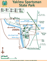
Yakima Sportsman State Park Map
Map of park with detail of trails and recreation zones
572 miles away
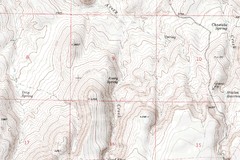
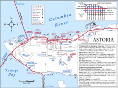
Astoria Oregon Map
A detailed topographic map of Astoria, Oregon and the Columbia River.
576 miles away
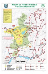
Mt. Saint Helens National Volcanic Monument...
Official recreation map showing all roads, trails, campgrounds, and other facilities. Also shows...
578 miles away
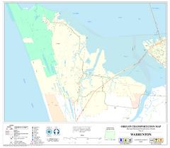
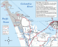
Warrenton Oregon Road Map
578 miles away
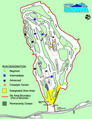
Mount Sima Ski Trail Map
Trail map from Mount Sima, which provides downhill skiing. This ski area has its own website.
581 miles away
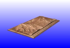
Mount St. Helens carved in wood by carvedmaps.com...
Mount St. Helens carved in wood by carvedmaps.com
582 miles away
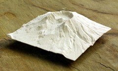
Mt. St. Helens 3D Print Map
This is a 3D-printed map of the cone, crater, and summit of Mt. St. Helens in Washington, USA. It...
582 miles away
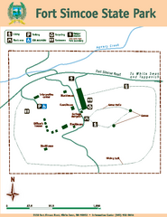
Fort Simcoe State Park Map
Map of park with detail of trails and recreation zones
585 miles away
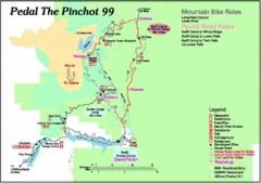
Pedal the Pinchot Bike Ride Route Map
Route Map for the Pedal the Pinchot 99 bike ride - annotated on a Park trail map.
592 miles away
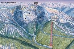
Whitefish Mountain Ski Trail Map - Hellroaring...
Official ski trail map of Whitefish Mountain ski area from the 2007-2008 season. (formerly named...
593 miles away
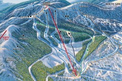
Whitefish Mountain Ski Trail Map - North Side
Official ski trail map of Whitefish Mountain ski area from the 2007-2008 season. (formerly named...
594 miles away
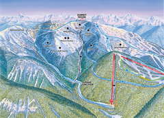
Whitefish Mountain Resort Hellroaring Ski Trail...
Trail map from Whitefish Mountain Resort.
594 miles away

Whitefish Mountain Resort Northside Ski Trail Map
Trail map from Whitefish Mountain Resort.
594 miles away
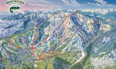
Whitefish Mountain Ski Trail Map - Front Side
Official ski trail map of Whitefish Mountain ski area from the 2007-2008 season. (formerly named...
594 miles away
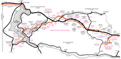
Trail of the Coeur d'Alenes Map
Shows the Trail of the Coeur d'Alenes, a 72 mile bike path that follows the Union Pacific...
594 miles away
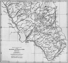
1915 Glacier National Park Map
Historical map of Glacier National Park in Montana.
595 miles away
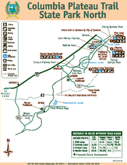
Columbia Plateau Trail State Park North Map
Map of park with detail of trails and recreation zones
596 miles away
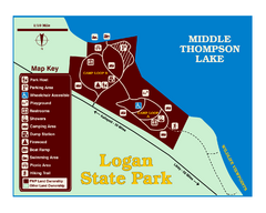
Logan State Park Map
With frontage on the north shore of Middle Thompson Lake, Logan is heavily forested with western...
596 miles away
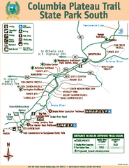
Columbia Plateau Trail State Park South Map
Map of park with detail of trails and recreation zones
596 miles away

