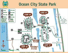
Ocean City State Park Map
Map of park with detail of trails and recreation zones
518 miles away
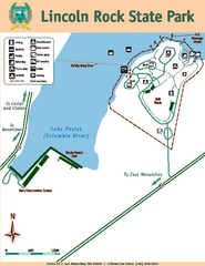
Lincoln Rock State Park Map
518 miles away
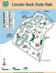
Lincoln Rock State Park Map
Map of park with detail of trails and recreation zones
518 miles away
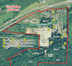
Grays Harbor County Straddleline ORV Park...
Park Map near Olympia
519 miles away
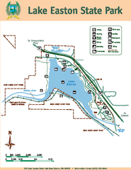
Lake Easton State Park Map
Map of island with detail of trails and recreation zones
520 miles away
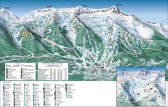
Fernie Alpine Trail Map
Ski trail map
520 miles away

Olympia Map
Map of downtown Olympia's parking and shuttle routes.
520 miles away
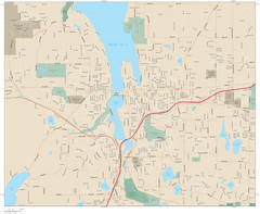
Olympia, Washington City Map
520 miles away
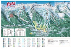
Fernie Mountain Trail Map
520 miles away
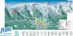
Fernie Mountain Trail Map
520 miles away
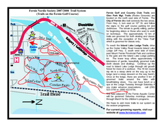
Fernie Golf Course Ski Trail Map
Trail map from Fernie Golf Course, which provides nordic skiing. This ski area has its own website.
521 miles away
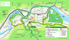
Fernie Town Trails Map
Trail map of recreational trails in and around town of Fernie, BC
521 miles away
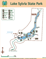
Lake Sylvia State Park Map
Map of island with detail of trails and recreation zones
521 miles away
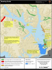
Boating on Glacier Bay National Park Guide Map
521 miles away
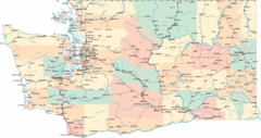
Washington Road Map
Road map of state of Washington
522 miles away
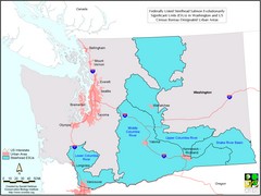
Washington Steelhead Salmon Map
Shows federally listed steelhead salmon evolutionarily significant units in Washington state.
522 miles away
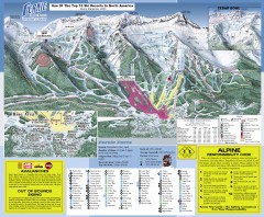
Fernie Ski Trail Map
Official ski trail map of Fernie ski area from the 2007-2008 season.
522 miles away
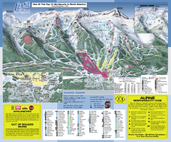
Fernie Alpine Resort Ski Trail Map
Trail map from Fernie Alpine Resort, which provides downhill and nordic skiing. This ski area has...
522 miles away
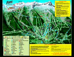
Fernie Alpine Resort 2007 Fernie Summer Map
Trail map from Fernie Alpine Resort, which provides downhill and nordic skiing. This ski area has...
522 miles away
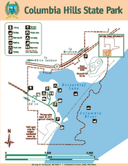
Columbia Hills State Park Map
Map of park with detail of trails and recreation zones
522 miles away
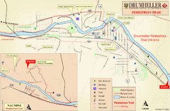
Drumheller Pedestrian Trail Map
522 miles away
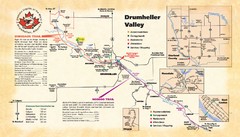
Drumheller Valley Tourist Map
Tourist map shows trails and points of interest of area around Drumheller, Alberta.
522 miles away
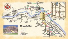
Drumheller Tourist Map
Tourist map of Drumheller, Alberta. Shows accommodations, campgrounds, restaurants, attractions...
522 miles away
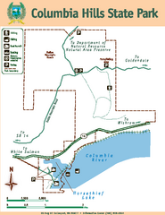
Columbia Hills State Park Map
Map of park with detail of trails and recreation zones
523 miles away
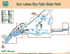
Sun Lakes-Dry Falls State Park Map
Map of park with detail of trails and recreation zones
523 miles away
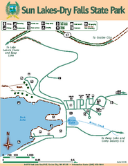
Sun Lakes-Dry Falls State Park Map
Map of park with detail of trails and recreation zones
523 miles away
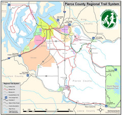
Pierce County Regional Trail Map
County-wide system of trails
523 miles away
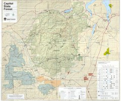
Capitol State Forest Map
525 miles away
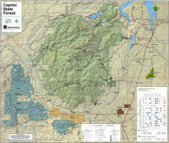
Capitol State Forest Map
Shows all trails in Capitol State Forest and surrounding area, including Lower Chehalis State...
526 miles away
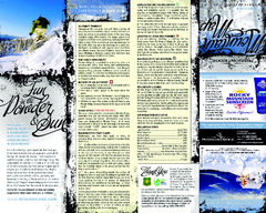
Mission Ridge Ski Area Ski Trail Map
Trail map from Mission Ridge Ski Area, which provides downhill, night, and terrain park skiing. It...
527 miles away
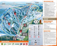
Mission Ridge Ski Trail Map
Official ski trail map of Mission Ridge ski area from the 2007-2008 season.
527 miles away
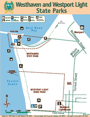
Westhaven/Westport Light State Parks Map
Map of park with detail of trails and recreation zones
527 miles away
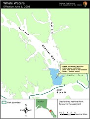
Glacier Bay National Park Whale Waters Map
Map of lower Glacier Bay whale waters include the waters extending from the mouth of Glacier Bay to...
529 miles away
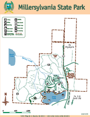
Millersylvania State Park Map
Map of park with detail of trails and recreation zones
529 miles away
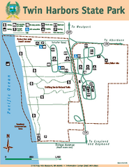
Twin Harbors State Park Map
Map of park with detail of trails and recreation zones
530 miles away
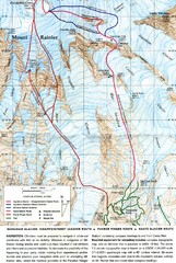
Mount Rainier Topo Map
Map of Mount Rainier Ascent. We ascended the "Muir Snowfield" and then went up the "...
530 miles away

Pierce County Washington Map, 1909 Map
531 miles away
Map of Haines, Alaska
A map of Haines and the surrounding areas.
534 miles away
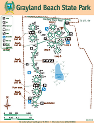
Grayland Beach State Park Map
Map of park with detail of trails and recreation zones
535 miles away
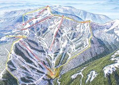
Schweitzer Ski Trail Map - Outback Bowl
Official ski trail map of back side of Schweitzer ski area from the 2007-2008 season.
535 miles away

