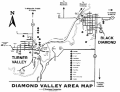
Diamond Valley Area Map
Map of Diamond Valley are, with Turner Valley & Black Diamond oil towns
495 miles away
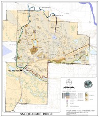
Snoqualmie Trail Map
Shows both soft surface and paved trails for biking, running/hiking/wailking, and horseback riding
495 miles away
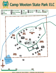
Camp Wooten State Park Map
Map of park with detail of trails and recreation zones
495 miles away
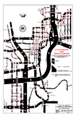
Renton WA Traffic Flow Map
City of Renton, WA traffic flow map
495 miles away
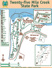
Twenty-Five Mile Creek State Park Map
Map of park with detail of trails and recreation zones
495 miles away
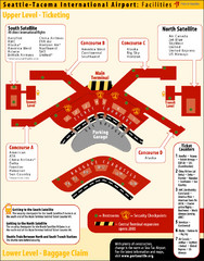
SeaTac Airport Map
496 miles away
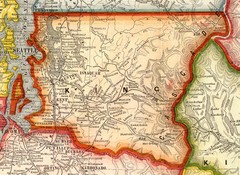
King County Washington, 1909 Map
496 miles away
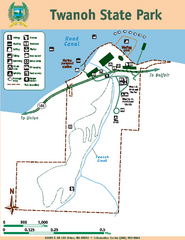
Twanoh State Park Map
Map of park with detail of trails and recreation zones
497 miles away
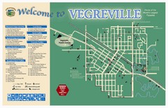
Vegreville Tourist Map
Tourist map of Vegreville, Alberta. Shows points of interest.
498 miles away

Tourist map of Downtown Des Moines, Washington
Tourist map of Downtown Des Moines, Washington. Shows all businesses.
499 miles away

Des Moines Washington tourist map
Tourist map of Des Moines, Washington, including Kent and SeaTac airport.
499 miles away
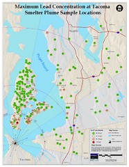
Tacoma Lead Concentration Map
A map of maximum lead concentrations near Tacoma.
500 miles away
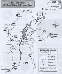
Little Pend Oreille Off Road Vehicle (ORV) Area...
Map of the Off Road Vehicle Area in Little Pend Oreille, Washington. Includes all bike trails...
502 miles away
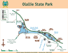
Olallie State Park Map
Map of park with detail of trails and recreation zones
502 miles away
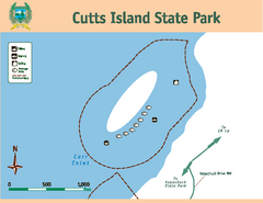
Cutts Island Stay Park Map
Map of park with detail of trails and recreation zones
502 miles away
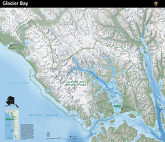
Glacier Bay National Park Map
Map of Glacier Bay National Park includes terrain map of the park and a small map that shows the...
503 miles away
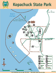
Kopachuck State Park Map
Map of island with detail of trails and recreation zones
503 miles away
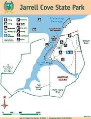
Jarrell Cove State Park Map
Map of park with detail of trails and recreation zones
504 miles away
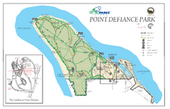
Point Defiance Park Map
504 miles away
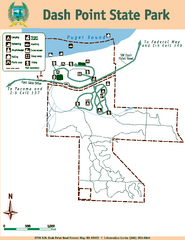
Dash Point State Park Map
Map of park with detail of trails and recreation zones
504 miles away
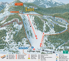
The Summit at Snoqualmie Summit East Ski Trail Map
Trail map from The Summit at Snoqualmie, which provides night and terrain park skiing. It has 30...
506 miles away
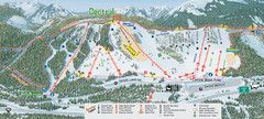
The Summit at Snoqualmie Summit Central Ski Trail...
Trail map from The Summit at Snoqualmie, which provides night and terrain park skiing. It has 30...
506 miles away
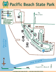
Pacific Beach State Park Map
Map of park with detail of trails and recreation zones
506 miles away
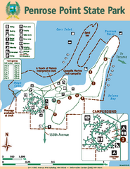
Penrose Point State Park Map
Map of park with detail of trails and recreation zones
506 miles away
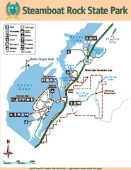
Steamboat Rock State Park Map
Map of park with detail of trails and recreation zones
507 miles away
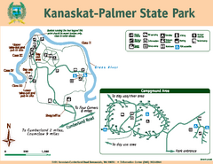
Kanaskat-Palmer State Park Map
Map of park with detail of trails and recreation zones
508 miles away
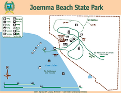
Joemma Beach State Park Map
Map of park with detail of trails and recreation zones
508 miles away
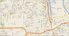
Tacoma, Washington City Map
509 miles away
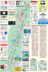
Milton tourist map
Tourist map of Milton, Washington. Shows all businesses.
509 miles away
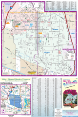
Milton and Edgewood tourist map
Tourist map of Milton and Edgewood, Washington. Shows all businesses.
510 miles away
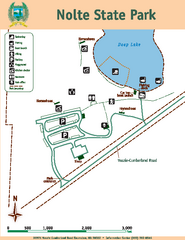
Nolte State Park Map
Map of park with detail of trails and recreation zones
511 miles away
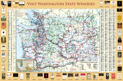
Washington State Winery Map
Washington State Winery Map
511 miles away
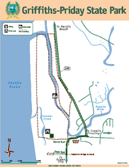
Griffiths-Priday State Park Map
Griffiths-Priday State Park
512 miles away
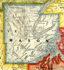
Mason County Washington, 1909 Map
513 miles away
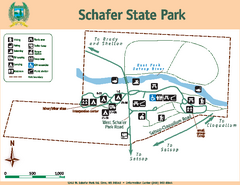
Schafer State Park Map
Map of park with detail of trails and recreation zones
514 miles away
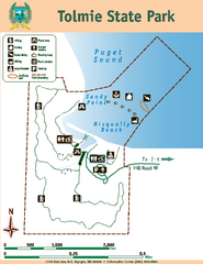
Tolmie State Park Map
Map of park with detail of trails and recreation zones
516 miles away
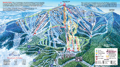
49 North Mountain Resort Ski Trail Map
Trail map from 49 North Mountain Resort, which provides downhill, night, nordic, and terrain park...
516 miles away
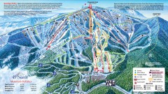
49 Degrees North Ski Trail Map
Official ski trail map of ski area from the 2007-2008 season.
517 miles away
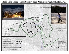
Island Lake Lodge Ski Trail Map
Trail map from Island Lake Lodge, which provides nordic skiing. This ski area has its own website.
517 miles away
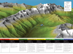
Island Lake Hiking Map
Hiking trail map of Island Lake area near Fernie, BC
517 miles away

