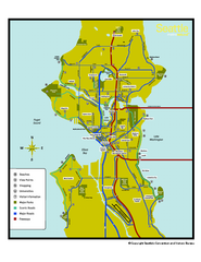
Neighborhoods of Seattle, Washington Map
Tourist map of Seattle, Washington, showing neighborhoods, parks, and scenic drives.
485 miles away
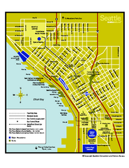
Downtown Seattle, Washington Map
Tourist map of downtown Seattle, Washington. Shows locations of Space Needle, Experience Music...
485 miles away
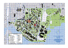
University of Washington - Seattle Campus Map
Campus Map of the University of Washington - Seattle Campus. All buildings shown.
485 miles away
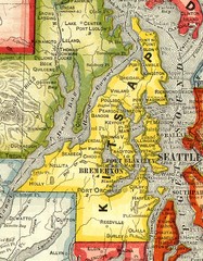
Kitsap County Washington, 1909 Map
485 miles away
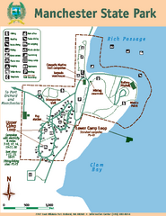
Manchester State Park Map
Map of park with detail of trails and recreation zones
486 miles away
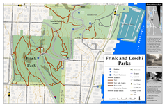
Frink Park and Leschi Park Map
486 miles away
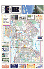
Bellevue tourist map
Tourist map of Bellevue, Washington. Shows all businesses.
486 miles away
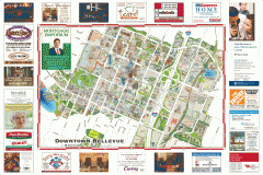
Tourist map of Downtown Bellevue
Tourist map of Downtown Bellevue, Washington. Shows all businesses.
486 miles away
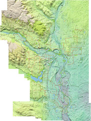
Calgary Topo Bike Map
This map shows the city of Calgary's bike routes. The topographic representation of the...
486 miles away
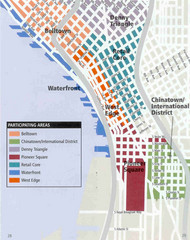
Seattle Neighborhoods Map
Map outlines several neighborhoods in Seattle, Wahsington
487 miles away
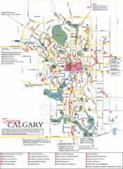
Calgary Map
487 miles away
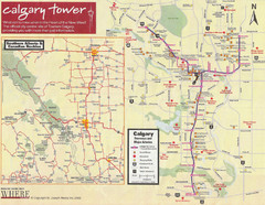
Calgary Tourist Map
Tourist map of Calgary, Canada. Shows points of interest. Scanned.
487 miles away
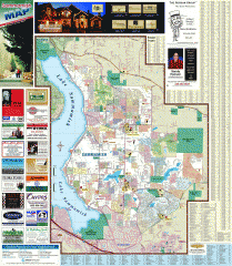
Sammamish tourist map
Tourist map of Sammamish, Washington. Shows all businesses.
487 miles away
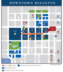
Downtown Bellevue Map
Driving Directions and Downtown Map
487 miles away
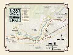
Iron Goat Trail Map
487 miles away
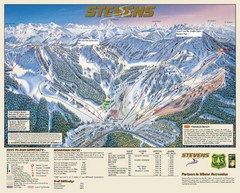
Stevens Pass Trail Map
488 miles away
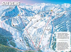
Stevens Pass Ski Area Stevens Pass Mill Valley...
Trail map from Stevens Pass Ski Area, which provides night and terrain park skiing. It has 8 lifts...
488 miles away
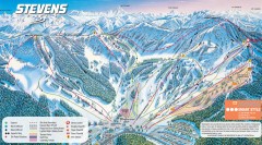
Stevens Pass Ski Trail Map
Official ski trail map of Stevens Pass ski area
488 miles away
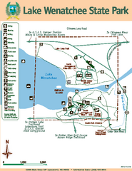
Lake Wenatchee State Park Map
Map of island with detail of trails and recreation zones
488 miles away
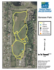
Genesee Park Trail Map
Trail map of Genesee Park in Mt Baker, Seattle, WA
488 miles away
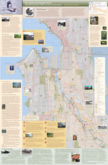
Duwamish River Community Map
This is a printed map, 32" X 40", created for the Duwamish River Cleanup Coalition in...
488 miles away
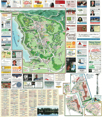
Sammamish tourist map
Sammamish, Washington tourist map. Shows all businesses.
488 miles away
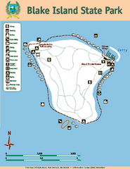
Blake Island State Park Map
Map of park with detail of trails and recreation zones
489 miles away
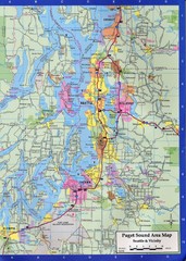
Seattle, Washington City Map
489 miles away
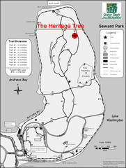
Seward Park Trails Map
Map of the trails in Seward Park, a 300-acre park on a peninsula in the south Seattle, WA area.
489 miles away
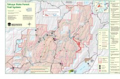
Tahuya State Forest Trail Map
Shows trails of Tahuya State Forest. Show roads, doubletrack, singletrack, and 4WD only.
490 miles away
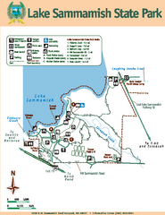
Lake Sammamish State Park Map
Map of island with detail of trails and recreation zones
490 miles away
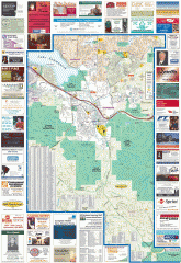
Issaquah tourist map
Issaquah, Washington tourist map. Shows all businesses.
491 miles away
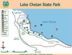
Lake Chelan State Park Map
Map of island with detail of trails and recreation zones
491 miles away
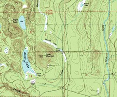
Fuller Mountain Topo Map
Fuller Mountain map with lakes, mountains and elevations identified.
491 miles away
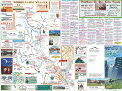
Snoqualmie Valley tourist map
Tourist map of the Snoqualmie Valley, Washington. Shows all businesses.
491 miles away
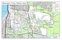
Newcastle Trails Trail Map
Trail map of existing and proposed trails in Newcastle, WA
492 miles away
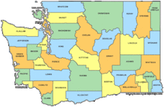
Washington State Counties Map
492 miles away
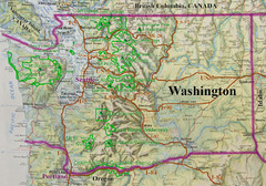
Washington State Road and Recreation Map
492 miles away
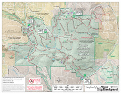
Cougar Mountain Park Trail Map
Trail map of Cougar Mountain Regional Wildland Park, part of the "Issaquah Alps"
492 miles away
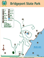
Bridgeport State Park Map
Map of park with detail of trails and recreation zones
492 miles away

Kootenay Rockies Map
The Kootenay Rockies Range in British Columbia, Canada
493 miles away
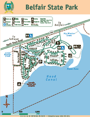
Belfair State Park Map
Map of park, with detail of trails and recreation zones
494 miles away
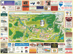
Snoqualmie tourist map
Snoqualmie, Washington tourist map. Shows all businesses.
494 miles away
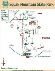
Squak Mountain State Park Map
Map of park with detail of trails and recreation zones
494 miles away

