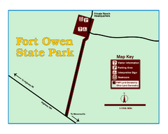
Fort Owen State Park Map
Fort Owen’s adobe and log remains preserves the site of the first permanent white settlement...
290 miles away
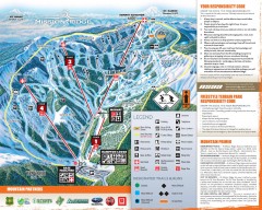
Mission Ridge Ski Trail Map
Official ski trail map of Mission Ridge ski area from the 2007-2008 season.
290 miles away
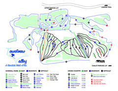
Tawatinaw Valley Ski Trail Map
Trail map from Tawatinaw Valley, which provides downhill and nordic skiing. This ski area has its...
290 miles away
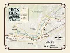
Iron Goat Trail Map
292 miles away
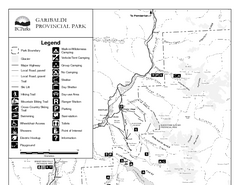
Garibaldi Provincial Park Map
Park map of Garibaldi Provincial Park, BC. 2 pages.
293 miles away
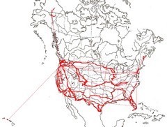
North America Layout Map
Countries, states and provinces in North America
293 miles away
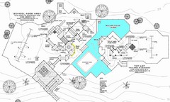
Lynden City Park Map
297 miles away
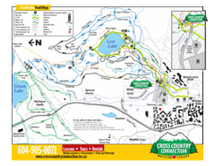
Lost Lake, Whistler Hiking and Biking Trail Map
297 miles away
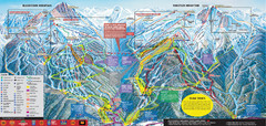
Whistler Blackcomb Ski Trail Map 2007-2008
Official ski trail map of the Whistler Blackcomb ski area from the 2007-2008 season. Site of Alpine...
297 miles away
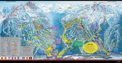
Whistler Blackcomb Ski Trail map 2005-06
Official ski trail map of the Whistler Blackcomb ski area from the 2005-2006 season. Site of the...
297 miles away
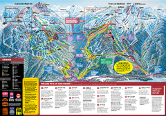
Whistler Blackcomb Trail map 2010-2011
Official ski trail map Whistler Blackcomb for the 2010-2011 season.
297 miles away
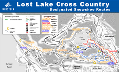
Whistler Cross Country Connection Snowshoeing Ski...
Trail map from Whistler Cross Country Connection.
297 miles away
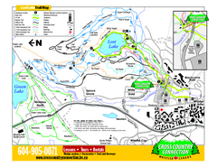
Whistler Cross Country Connection 2006–07...
Trail map from Whistler Cross Country Connection.
297 miles away
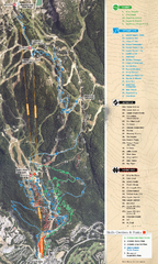
Whistler Blackcomb (Garibaldi Lift Co.) Biking...
Trail map from Whistler Blackcomb (Garibaldi Lift Co.), which provides downhill, night, and terrain...
298 miles away
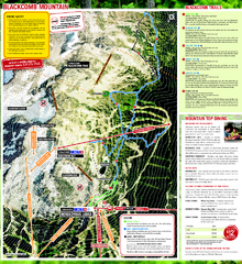
Whistler Blackcomb (Garibaldi Lift Co.) Hiking...
Trail map from Whistler Blackcomb (Garibaldi Lift Co.), which provides downhill, night, and terrain...
298 miles away
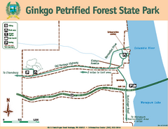
Ginkgo Petrified Forest State Park Map
Map of park with detail of trails and recreation zones
298 miles away
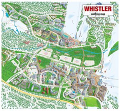
Whistler Village Map
298 miles away
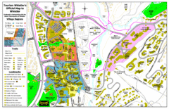
Whistler Village Map
298 miles away
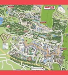
Whistler Village Map
298 miles away
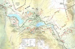
Whistler, CA Hiking and Biking Trails Map
298 miles away
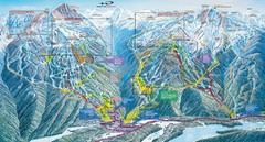
Whistler Blackcomb Trail Map
298 miles away
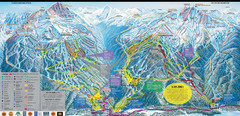
Whistler Blackcomb Ski Resort Map
Ski runs, lifts and amenities on the resort map
298 miles away
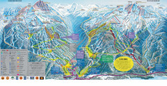
Trail Map Whistler Blackcomb
Map of all trails and ski runs at Whistler and Blackcomb mountains. Includes detailed information...
299 miles away
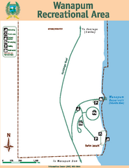
Wanapum Recreational Area Map
Map of park with detail of trails and recreation zones
300 miles away

Creekside Map
Tourist map of Creekside Village
300 miles away
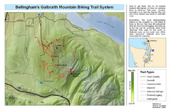
Bellingham Galbraith Mountain Biking Trail Map
Mountain biking trail map of Whatcom Falls Park near Bellingham, WA
300 miles away
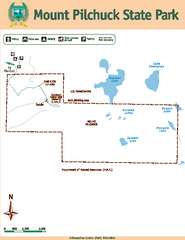
Mount Pilchuck State Park Map
Map of park with detail of trails and recreation zones
301 miles away

Skagit County Washington, 1909 Map
303 miles away
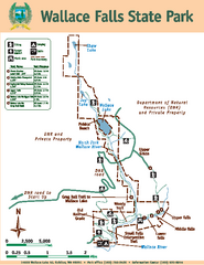
Wallace Falls State Park Map
Map of park with detail of trails and recreation zones
303 miles away
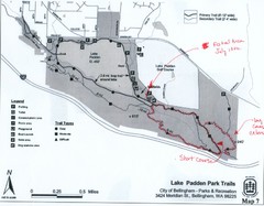
Lake Padden Park Trails Map
Course Elevation Map noted in handwriting on map. Festival location noted as well.
303 miles away
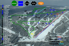
2004–07 Troll Downhill Map
Trail map from Troll. This ski area opened in 1972.
304 miles away
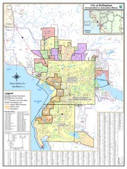
Bellingham, Washington City Map
304 miles away
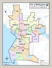
Bellingham Ward Map
Guide to wards in Bellingham, WA
304 miles away
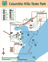
Columbia Hills State Park Map
Map of park with detail of trails and recreation zones
304 miles away
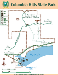
Columbia Hills State Park Map
Map of park with detail of trails and recreation zones
304 miles away
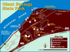
Giant Springs State Park Map
Set aside a whole afternoon to experience this scenic and historic freshwater springs site. First...
305 miles away
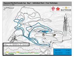
Whistler Olympic Park (Callaghan Nordic Centre...
Trail map from Whistler Olympic Park (Callaghan Nordic Centre), which provides night and nordic...
305 miles away
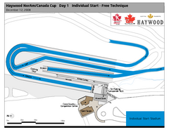
Whistler Olympic Park (Callaghan Nordic Centre...
Trail map from Whistler Olympic Park (Callaghan Nordic Centre), which provides night and nordic...
305 miles away
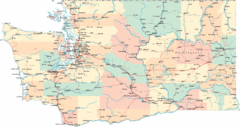
Washington Road Map
Road map of state of Washington
305 miles away

