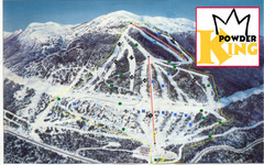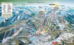
Big Sky Ski Resort Trail Map (Eastern exposure...
Big Sky ski resort trail map (Eastern exposure) for the 2006-2007 season
422 miles away

Big Sky Resort Lone Peak Detail Ski Trail Map
Trail map from Big Sky Resort, which provides terrain park skiing. It has 21 lifts servicing 150...
422 miles away
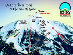
Big Sky Resort Dakota Territory Detail Ski Trail...
Trail map from Big Sky Resort, which provides terrain park skiing. It has 21 lifts servicing 150...
422 miles away

Big Sky Ski Resort Trail Map (Southern exposure...
Big Sky ski resort trail map (Southern exposure) for the 2006-2007 season. Also check out the...
422 miles away
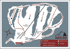
Cooper Spur Ski Area Ski Trail Map
Trail map from Cooper Spur Ski Area.
423 miles away
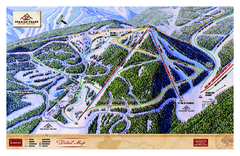
Spanish Peaks Resort Ski Trail Map
Trail map from Spanish Peaks Resort. It has 2 lifts servicing 12 runs; the longest run is 2574...
424 miles away
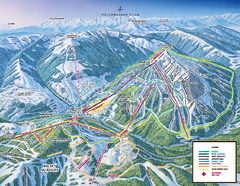
Yellowstone Club Ski Trail Map
Trail map from Yellowstone Club, which provides terrain park skiing. It has 15 lifts servicing 60...
424 miles away
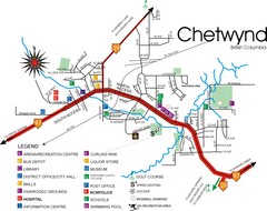
Chetwynd Town Map
426 miles away
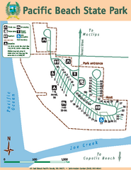
Pacific Beach State Park Map
Map of park with detail of trails and recreation zones
426 miles away
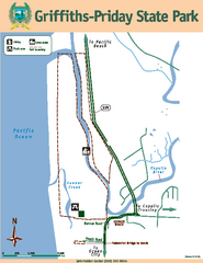
Griffiths-Priday State Park Map
Griffiths-Priday State Park
429 miles away
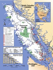
Vancouver Island Road Map
429 miles away
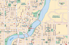
Saskatoon, Saskatchewan Tourist Map
429 miles away
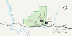
Clarno Unit John Day Fossils Beds National...
429 miles away
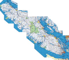
Vancouver Island Map
Detailed map of Vancouver Island, British Columbia. Shows towns, roads, and parks.
431 miles away
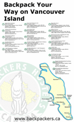
Vancouver Island Backpacking Map
Shows hostels on Vancouver Island, BC
431 miles away
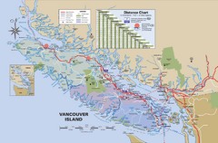
Vancouver Island Map
431 miles away
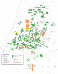
University of Saskatchewan Campus Map
Campus map of the University of Saskatoon in Saskatoon, Saskatchewan, Canada. Shows all buildings...
431 miles away
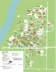
University of Saskatchwan Campus Map
Campus Map of the University of Saskatchwan in Canada. Includes all buildings and detailed parking...
432 miles away
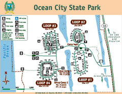
Ocean City State Park Map
Map of park with detail of trails and recreation zones
432 miles away
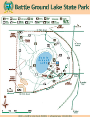
Battle Ground Lake State Park Map
Map of park with detail of trails and recreation zones
432 miles away
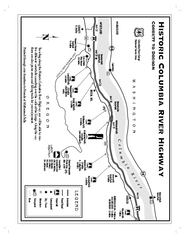
Historic Columbia River Highway Map
Official map from the US Forest Service. Shows the Corbett to Dodson stretch of Highway 30 with...
433 miles away
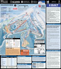
Mt. Hood Meadows Ski Trail Map
Official ski trail map of Mt. Hood Meadows ski area from the 2007-2008 season.
434 miles away
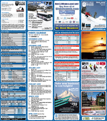
Mt. Hood Meadows Ski Resort Ski Trail Map
Trail map from Mt. Hood Meadows Ski Resort.
435 miles away

Timberline Ski Area Ski Trail Map
Trail map from Timberline Ski Area.
436 miles away
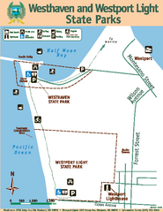
Westhaven/Westport Light State Parks Map
Map of park with detail of trails and recreation zones
436 miles away
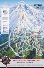
Timberline Ski Trail Map
Official ski trail map of Timberline Lodge ski area from the 2007-2008 season.
436 miles away
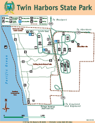
Twin Harbors State Park Map
Map of park with detail of trails and recreation zones
437 miles away
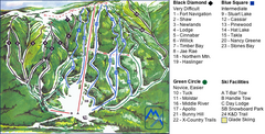
Murray Ridge Ski Trail Map
Trail map from Murray Ridge, which provides downhill and nordic skiing. This ski area has its own...
437 miles away
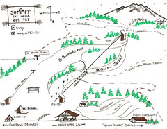
Summit Ski Area Ski Trail Map
Trail map from Summit Ski Area.
438 miles away

Mt. Hood SkiBowl Ski Trail Map
Trail map from Mt. Hood SkiBowl.
439 miles away
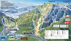
Mt. Hood Skibowl Ski Trail Map
Official ski trail map of ski area from the 2007-2008 season.
439 miles away
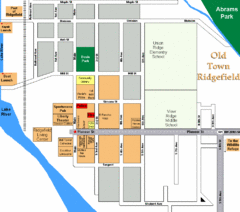
Guide Map of Old Town Ridgefield
Guide Map of Old Town Ridgefield, Washington
439 miles away
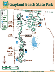
Grayland Beach State Park Map
Map of park with detail of trails and recreation zones
439 miles away
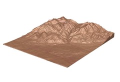
Emigrant Montana towards Baldy and Emigrant Peak...
Emigrant, MT towards Baldy and Emigrant Peak
440 miles away
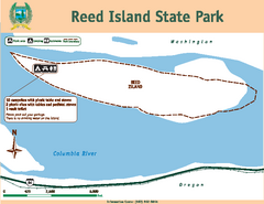
Reed Island State Park Map
Map of park with detail of trails and recreation zones
440 miles away
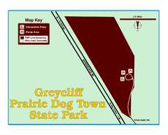
Greycliff Prairie Dog Town State Park Map
Grab your camera and hop off Interstate 90 at Greycliff to delight in the playful, curious black...
440 miles away

Pacific Northwest Inside Passage Map
Amazing Pacific Northwest Inside Passage Legendary map.
442 miles away
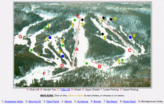
Whispering Pines Ski Trail Map
Trail map from Whispering Pines, which provides downhill and nordic skiing. This ski area has its...
444 miles away
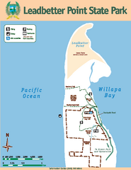
Leadbetter Point State Park Map
Map of park with detail of recreation zones and trails
446 miles away

