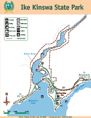
Ike Kinswa State Park Map
Map of park with detail of trails and recreation zones
394 miles away
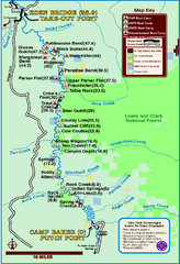
Smith River State Park Map
The Smith River is a unique 59-mile river corridor. Permits are required to float the stretch of...
395 miles away
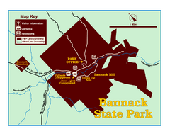
Bannack State Park Map
396 miles away
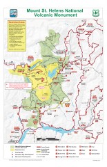
Mt. Saint Helens National Volcanic Monument...
Official recreation map showing all roads, trails, campgrounds, and other facilities. Also shows...
398 miles away
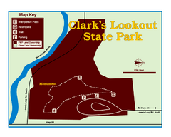
Clark's Lookatout State Park Map
Clearly marked State Park Map.
398 miles away
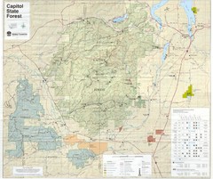
Capitol State Forest Map
398 miles away
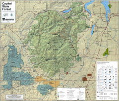
Capitol State Forest Map
Shows all trails in Capitol State Forest and surrounding area, including Lower Chehalis State...
399 miles away
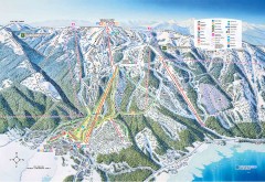
Tamarack Ski Trail Map
Official ski trail map of Tamarack ski area from the 2007-2008 season.
400 miles away
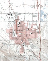
Baker City, Oregeon Tourist Map
400 miles away
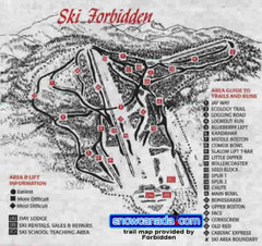
Pre-1999 Forbidden Plateau Map #2
Trail map from Forbidden Plateau.
400 miles away
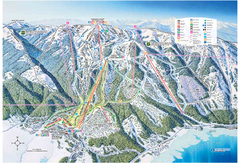
Tamarack Resort Ski Trail Map
Trail map from Tamarack Resort, which provides downhill, nordic, and terrain park skiing. It has 7...
400 miles away
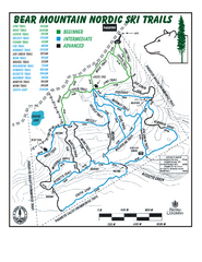
Bear Mountain Nordic Ski Trail Map
Trail map from Bear Mountain.
400 miles away
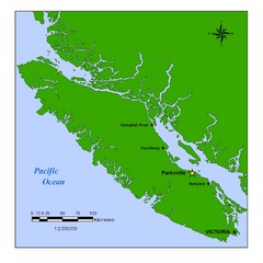
Vancouver Island Overview Map
Town of Parksville highlighted.
401 miles away
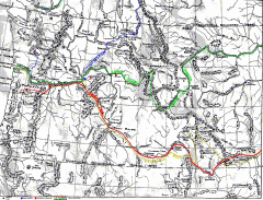
Oregon Trail Map
Old sketch map with modern cities, forts/ trading posts, and missions/churches superimposed. Shows...
401 miles away
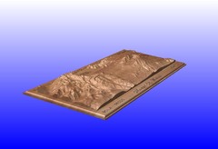
Mount St. Helens carved in wood by carvedmaps.com...
Mount St. Helens carved in wood by carvedmaps.com
401 miles away
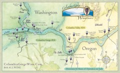
Columbia Gorge Wine Map
Wineries of the Columbia River Gorge area, Oregon.
402 miles away
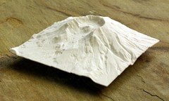
Mt. St. Helens 3D Print Map
This is a 3D-printed map of the cone, crater, and summit of Mt. St. Helens in Washington, USA. It...
402 miles away
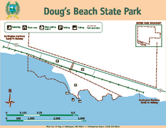
Dougs Beach State Park Map
Map of park with detail of trails and recreation zones
402 miles away
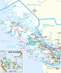
Vancouver Island Park Map
Parks and roads on Vancouver Island.
402 miles away
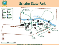
Schafer State Park Map
Map of park with detail of trails and recreation zones
403 miles away
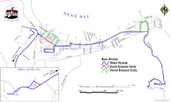
Neah Bay Bus Route Map
403 miles away
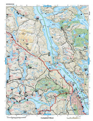
Campbell River Area Map
Vancouver Island, Victoria & Gulf Islands
404 miles away

Bridger Bowl Ski Area Ski Trail Map
Trail map from Bridger Bowl Ski Area.
404 miles away
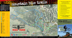
Mt. Washington Resort Summer Mountain Biking Ski...
Trail map from Mt. Washington Resort, which provides downhill and nordic skiing.
405 miles away
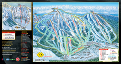
Mt. Washington Resort Ski Trail Map
Trail map from Mt. Washington Resort, which provides downhill and nordic skiing.
405 miles away
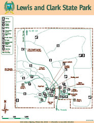
Lewis and Clark State Park Map
Map of park with detail of recreation zones and trails
406 miles away
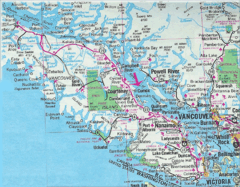
Vancouver Island Road Map
407 miles away
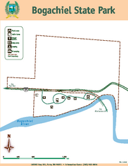
Bogachiel State Park Map
Map of park with detail of trails and recreation zones
407 miles away
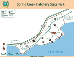
Spring Creek Hatchery State Park map
Map of park with detail of trails and recreation zones
409 miles away
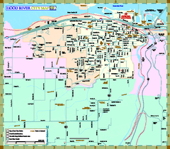
Hood River Map
Tourist map of city of Hood River, Oregon.
410 miles away
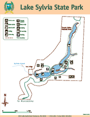
Lake Sylvia State Park Map
Map of island with detail of trails and recreation zones
412 miles away
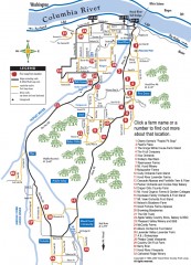
Hood River County Fruit Loop map
35-mile scenic drive through the valley's orchards, forests, farmlands, and friendly...
412 miles away
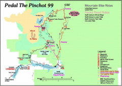
Pedal the Pinchot Bike Ride Route Map
Route Map for the Pedal the Pinchot 99 bike ride - annotated on a Park trail map.
413 miles away
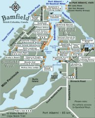
Bamfield Tourist Map
414 miles away
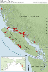
BC Salmon Farms Map
Shows fishfarms in BC around Vancouver Island, highest concentration of fish farms in North Pacific
415 miles away
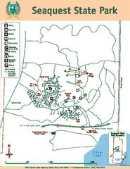
Seaquest State Park Map
Map of park with detail of trails and recreation zones
417 miles away
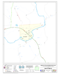
Monument Oregon Road Map
417 miles away
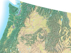
Northwest USA topo Map
418 miles away
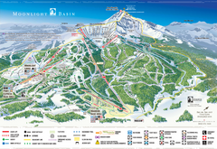
Moonlight Basin Ski Trail Map
Trail map from Moonlight Basin, which provides terrain park skiing. It has 8 lifts servicing 92...
420 miles away

Oregon Trail Historical Map
421 miles away

