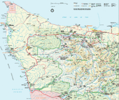
Olympic National Park Map
373 miles away
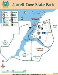
Jarrell Cove State Park Map
Map of park with detail of trails and recreation zones
373 miles away
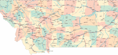
Montana Road Map
374 miles away
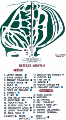
Maverick Mountain Ski Area Ski Trail Map
Trail map from Maverick Mountain Ski Area.
374 miles away
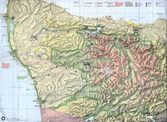
Olympic National Park Map
375 miles away
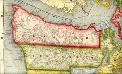
Clallam and Jefferson Counties Washington, 1909...
376 miles away
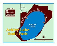
Ackley Lake State Park Map
Simple map of the State Park.
376 miles away
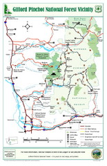
Gifford Pinchot National Forest Vicinity Map
Gifford Pinchot National Forest and surrounding areas including Mt. St Helens.
376 miles away
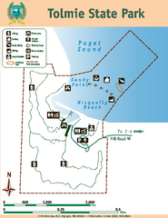
Tolmie State Park Map
Map of park with detail of trails and recreation zones
377 miles away
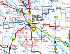
North Battleford, Saskatchewan Map
377 miles away
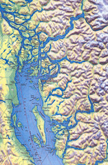
Northern Gulf Map
Map of Northern Gulf Islands
377 miles away
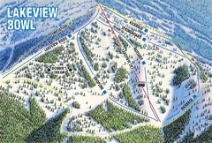
Brundage Mountain Resort Lakeview Bowl Ski Trail...
Trail map from Brundage Mountain Resort, which provides downhill and terrain park skiing. It has 5...
377 miles away
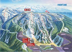
Brundage Mountain Resort Frontside Ski Trail Map
Trail map from Brundage Mountain Resort, which provides downhill and terrain park skiing. It has 5...
377 miles away
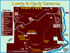
Lewis and Clark Caverns State Park Map
Montana's first and best-known state park showcases one of the most highly decorated limestone...
377 miles away
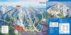
Brundage Ski Trail Map
Official ski trail map of Brundage ski area from the 2007-2008 season.
377 miles away
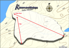
Kinosoo Ridge Topo Ski Trail Map
Trail map from Kinosoo Ridge, which provides downhill skiing. This ski area has its own website.
380 miles away
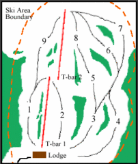
Mount Arrowsmith (Upper) Ski Trail Map
Trail map from Mount Arrowsmith (Upper).
381 miles away
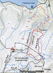
Mt. Arrowsmith Park CPR Historic Trail Map
Trail map of Mt. Arrowsmith Regional Park CPR Historic Trail, Vancouver Island
381 miles away
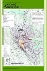
Mount Arrowsmith Climbing Route Map
Climbing routes on Mount Arrowsmith, Vancouver Island
382 miles away
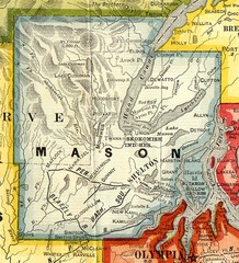
Mason County Washington, 1909 Map
382 miles away
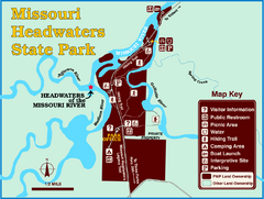
Missouri Headwaters State Park Map
This park encompasses the confluence of the Jefferson, Madison and Gallatin Rivers. The Lewis and...
382 miles away
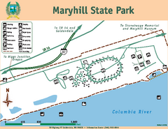
Maryhill State Park Map
Map of park with detail of trails and recreation zones
382 miles away
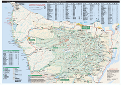
Olympic National Park wilderness campsite map
Official wilderness campsite map of Olympic National Park. Shows roads, trails, visitor...
383 miles away
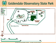
Goldendale State Park Map
Map of park with detail of trails and recreation zones
383 miles away
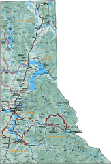
Northern Idaho Road Map
383 miles away

Olympia Map
Map of downtown Olympia's parking and shuttle routes.
384 miles away
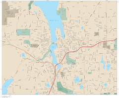
Olympia, Washington City Map
385 miles away
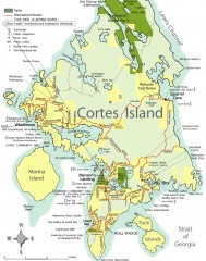
Cortes Island tourist map
Tourist map of Cortes Island in British Columbia, Canada. Shows businesses and roads.
385 miles away
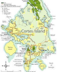
Cortes Island Tourist Map
Places of interest.
387 miles away
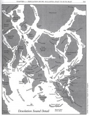
Desolation Sound Detail Map
Shows general geography of Desolation Sound from Malaspina Inlet to Bute Inlet. Shows Cortes Bay...
388 miles away
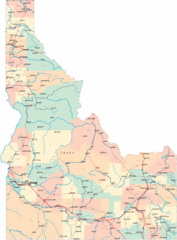
Idaho Road Map
388 miles away
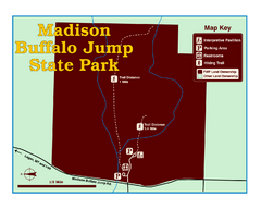
Madison Buffalo Jump State Park Map
You’ll find this day-use-only park seven graveled miles off Interstate 90 at the Logan exit...
390 miles away
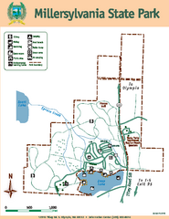
Millersylvania State Park Map
Map of park with detail of trails and recreation zones
391 miles away

West Coast Trail Map
391 miles away
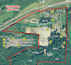
Grays Harbor County Straddleline ORV Park...
Park Map near Olympia
391 miles away
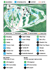
Anthony Lakes Mountain Resort Ski Trail Map
Trail map from Anthony Lakes Mountain Resort.
391 miles away
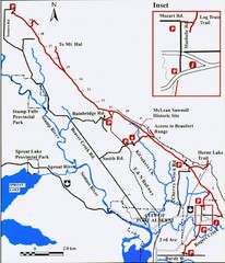
Log Train Trail Map
Trail map of the Log Train Trail near Port Alberni, Vancouver Island
392 miles away
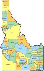
Idaho Counties Map
393 miles away

