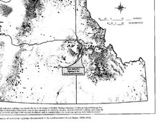
Map of Wolverine Sightings: 1886 -- 1998
356 miles away
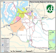
Pierce County Regional Trail Map
County-wide system of trails
356 miles away
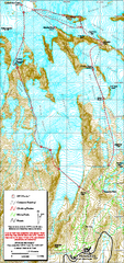
Mount Rainier Paradise Climbing Route map
Map shows all hiking and climbing routes originating from Paradise at 5,400 ft.
356 miles away
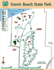
Scenic Beach State Park Map
Map of park with detail of trails and recreation zones
357 miles away
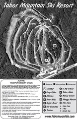
Tabor Mountain 2005–08 Tabor Downhill Map
Trail map from Tabor Mountain.
357 miles away
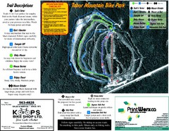
Tabor Mountain 2005–07 Tabor Summer Map
Trail map from Tabor Mountain.
357 miles away
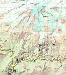
Pinnacle Saddle Trail Map
357 miles away
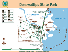
Dosewallips State Park Map
Map of park with detail of trails and recreation zones
358 miles away
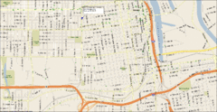
Tacoma, Washington City Map
359 miles away
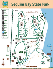
Sequim Bay State Park Map
Map of park with detail of trails and recreation zones
359 miles away
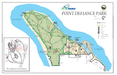
Point Defiance Park Map
359 miles away
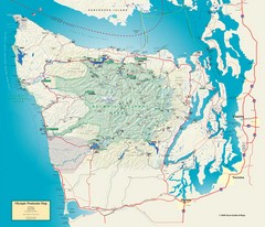
Olympic National Park and Peninsula Map
Guide to the Olympic National Park and surrounding region
359 miles away
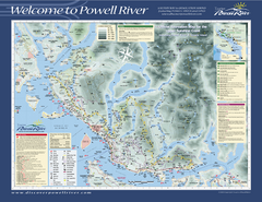
Upper Sunshine Coast Recreation Map
Recreation map of Upper Sunshine Coast in BC. Shows hiking trails, kayaking and canoeing routes...
359 miles away
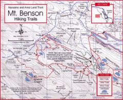
Mt. Benson Hiking Trail Map
Show hiking trails in the Nanaimo and Area Land Trust containing Mt. Benson. Also shows roads and...
360 miles away
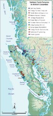
BC Fish Farm Map
Shows salmon farm tenures in southern British Columbia, Canada.
361 miles away
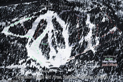
Ferguson Ridge Ski Trail Map
Trail map from Ferguson Ridge.
362 miles away
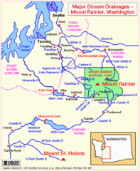
Mount Rainier Major Stream Drainages Map
362 miles away
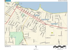
Port Angeles City Map
364 miles away
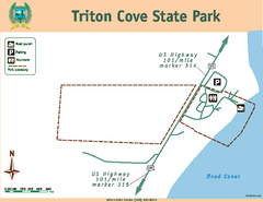
Triton Cove State Park Map
Map of park with detail of trails and recreation zones
364 miles away
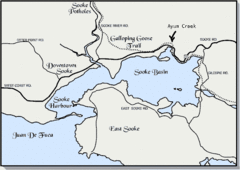
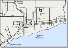
Community of Sooke, British Columbia Map
http://www.sooke.org/maps/map2.htm © Pax Media Inc.
365 miles away
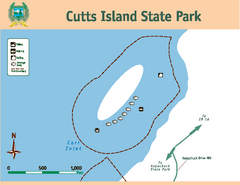
Cutts Island Stay Park Map
Map of park with detail of trails and recreation zones
365 miles away
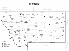
Montana Airports Map
365 miles away
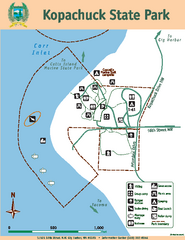
Kopachuck State Park Map
Map of island with detail of trails and recreation zones
365 miles away

Pierce County Washington Map, 1909 Map
365 miles away
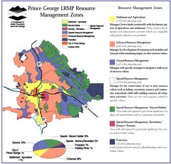
Prince George LRMP Resource Management Zone Map
Prince George Land and Resource Management Plan, color coded by land use.
365 miles away
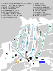
Table Mountain Ski Trail Map
Trail map from Table Mountain, which provides downhill skiing. This ski area has its own website.
366 miles away
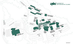
University of Northern British Columbia Campus Map
Campus map of UNBC in Prince George, British Columbia
366 miles away
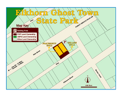
Elkhorn Ghost Town State Park Map
Clearly marked map of old 1880's ghost town with impressive structures.
366 miles away
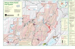
Tahuya State Forest Trail Map
Shows trails of Tahuya State Forest. Show roads, doubletrack, singletrack, and 4WD only.
367 miles away
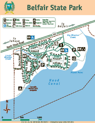
Belfair State Park Map
Map of park, with detail of trails and recreation zones
367 miles away
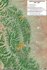
Montana Mountain Range Map
Fires on the Montana mountain range
368 miles away
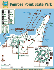
Penrose Point State Park Map
Map of park with detail of trails and recreation zones
369 miles away
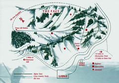
Hurricane Ridge Ski Trail Map
Trail map from Hurricane Ridge.
369 miles away
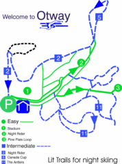
Otway Nordic Centre (Caledonia) Night lit Ski...
Trail map from Otway Nordic Centre (Caledonia), which provides night and nordic skiing. This ski...
371 miles away
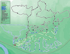
Otway Nordic Centre (Caledonia) Ski Trail Map
Trail map from Otway Nordic Centre (Caledonia), which provides night and nordic skiing. This ski...
371 miles away
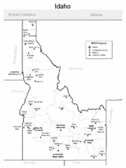
Idaho Airports Map
372 miles away
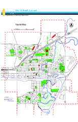
Swift Current Tourist Map
Tourist map of Swift Current, Saskatchewan. Shows all parks and walking paths.
373 miles away
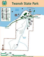
Twanoh State Park Map
Map of park with detail of trails and recreation zones
373 miles away
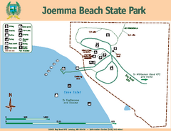
Joemma Beach State Park Map
Map of park with detail of trails and recreation zones
373 miles away

