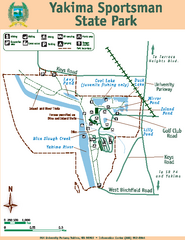
Yakima Sportsman State Park Map
Map of park with detail of trails and recreation zones
330 miles away
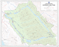
Bowron Lake Park Map
Topographical map of Bowron Lake Park
330 miles away

Yakima, Washington City Map
330 miles away
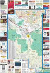
Issaquah tourist map
Issaquah, Washington tourist map. Shows all businesses.
331 miles away
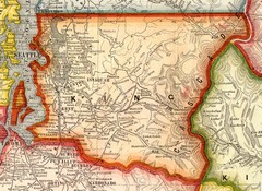
King County Washington, 1909 Map
331 miles away
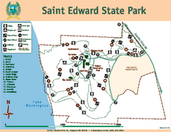
Saint Edward State Park Map
Map of park with detail of trails and recreation zones
331 miles away
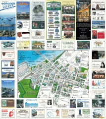
Downtown Edmonds tourist map
Tourist map of Downtown Edmonds, Washington. Shows all businesses.
331 miles away
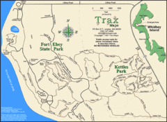
Ft Ebey/Kettle Park Trail Map
Trail map of Fort Ebey Park and Kettle Park, Washington
331 miles away
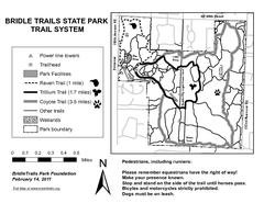
Bridle Trails State Park Map
331 miles away
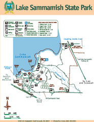
Lake Sammamish State Park Map
Map of island with detail of trails and recreation zones
332 miles away
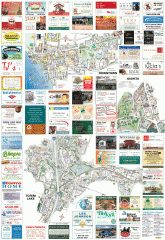
Kirkland tourist map
Kirkland, Washington tourist map. Shows all businesses.
332 miles away
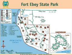
Fort Ebey State Park Map
Map of park with detail of trails and recreation zones
332 miles away
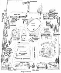
San Juan County Fair Map 2008
Fairgrounds map for the San Juan County Fair, Friday Harbor, Washington
332 miles away
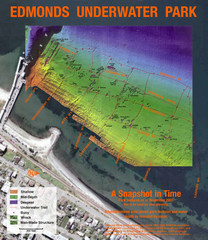
Edmonds Underwater Park Map
Map of underwater park for divers
332 miles away
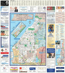
Edmonds tourist map
Tourist map of Edmonds, Washington. Shows all businesses.
333 miles away
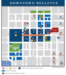
Downtown Bellevue Map
Driving Directions and Downtown Map
333 miles away
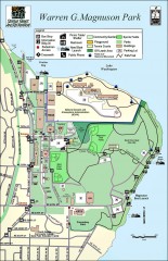
Warren G. Magnuson Park Map
Map of Warren G. Magnuson Park Warren G. Magnuson Park sits on a splendid mile-long stretch of...
333 miles away
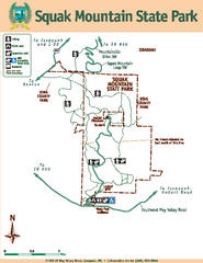
Squak Mountain State Park Map
Map of park with detail of trails and recreation zones
333 miles away
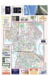
Bellevue tourist map
Tourist map of Bellevue, Washington. Shows all businesses.
334 miles away
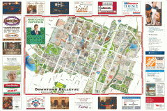
Tourist map of Downtown Bellevue
Tourist map of Downtown Bellevue, Washington. Shows all businesses.
334 miles away

San Juan Island tourist map
San Juan Island and Friday Harbor tourist map. Shows all businesses.
334 miles away
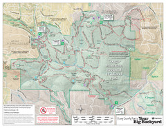
Cougar Mountain Park Trail Map
Trail map of Cougar Mountain Regional Wildland Park, part of the "Issaquah Alps"
334 miles away
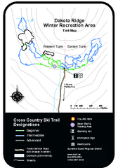
Dakota Ridge Ski Trail Map
Trail map from Dakota Ridge, which provides nordic skiing. This ski area has its own website.
334 miles away
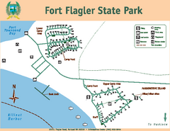
Fort Flagler State Park Map
Map of park with detail of trails and recreation zones
334 miles away
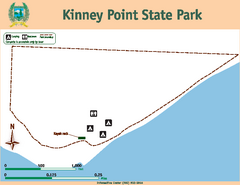
Kinney Point State Park Map
Map of island with detail of trails and recreation zones
335 miles away
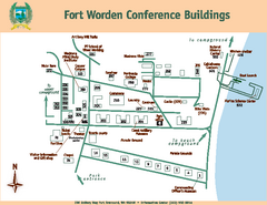
Fort Worden Conference Buildings Map
Map of conference buildings in Fort Worden State Park
335 miles away
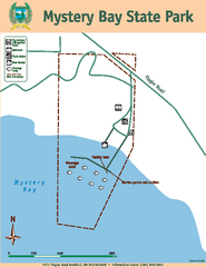
Mystery Bay State Park Map
Map of park with detail of trails and recreation zones
335 miles away
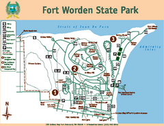
Fort Worden State Park Map
Map of park with detail of trails and recreation zones
335 miles away
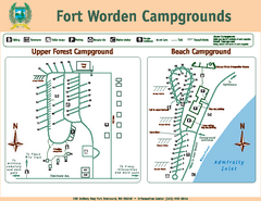
Fort Worden Campgrounds Map
Map of park campgrounds
335 miles away
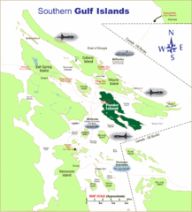
Southern Gulf Islands Map
Map of the region. Shows ferry routes.
336 miles away
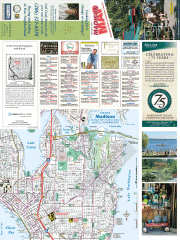
Greater Madison tourist map
Tourist map of Greater Madison, Washington. Shows all businesses.
336 miles away
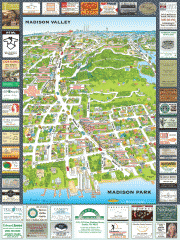
Madison Park tourist map
Tourist map of Madison Park, Washington. Shows all businesses.
336 miles away
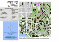
University of Washington map
336 miles away
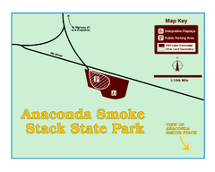
Anaconda Smoke Stack State Park Map
Simple map of State Park.
336 miles away
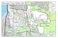
Newcastle Trails Trail Map
Trail map of existing and proposed trails in Newcastle, WA
336 miles away
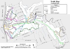
Carkeek Park Trail Map
Trail map of Carkeek Park on the Puget Sound, Seattle, WA. Shows maintained and unmaintained trails.
336 miles away

Washington Park Arboretum Trail Map
Trail map of Washington Park Arboretum in Seattle.
336 miles away
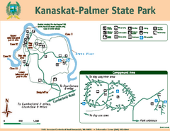
Kanaskat-Palmer State Park Map
Map of park with detail of trails and recreation zones
337 miles away
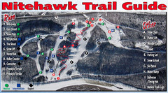
Nitehawk Ski Hill Ski Trail Map
Trail map from Nitehawk Ski Hill, which provides downhill skiing. This ski area has its own website.
337 miles away
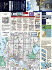
Ballard tourist map
Tourist map of Ballard, Washington and Green Lake Park. Shows all businesses.
337 miles away

