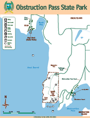
Obstruction Pass State Park Map
Map of park with detail of trails and recreation zones
322 miles away
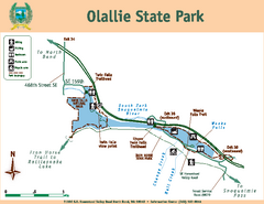
Olallie State Park Map
Map of park with detail of trails and recreation zones
323 miles away
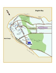
Downtown Vancouver Map
323 miles away
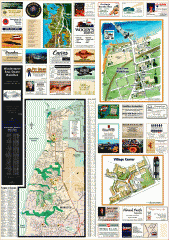
Mukilteo tourist map
Greater Mukilteo, Washington tourist map. Shows all businesses.
323 miles away
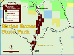
Sluice Boxes State Park Map
Remains of mines, a railroad, and historic cabins line Belt Creek as it winds through a beautiful...
324 miles away
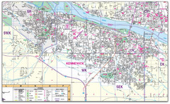
Kennewick, Washington City Map
324 miles away
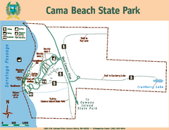
Cama Beach State Park Map
Map of park with detail of trails and recreation zones
324 miles away
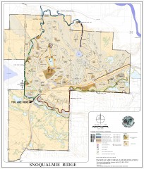
Snoqualmie Trail Map
Shows both soft surface and paved trails for biking, running/hiking/wailking, and horseback riding
324 miles away
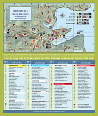
Bownen Island Tourist Map
325 miles away

Bowen Island 3D Aerial Map
3d aerial map of Bowen Island, BC
325 miles away
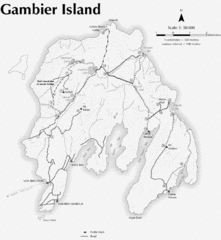
Gambier Island Trail Map
Trail map of Gambier Island, BC. See site for trail descriptions and details.
325 miles away

Oak Harbor tourist map
Tourist map of Oak Harbor, Washington. Shows all businesses.
325 miles away
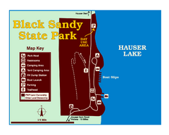
Black Sandy State Park Map
Simple but clear map of State Park.
325 miles away
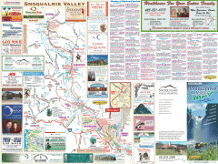
Snoqualmie Valley tourist map
Tourist map of the Snoqualmie Valley, Washington. Shows all businesses.
326 miles away
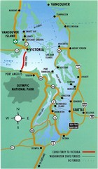
British Columbia, Canada Tourist Map
326 miles away
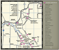
Woodinville Wine Country Map
Map of wineries in the Woodinville, WA area
326 miles away

Woodinville tourist map
Tourist map of Woodinville, Washington. Shows all businesses.
326 miles away
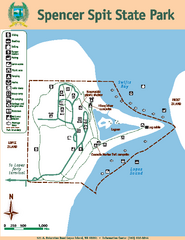
Spencer Spit State Park Map
Map of park with detail of trails and recreation zones
326 miles away
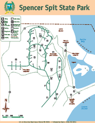
Spencer Spit State Park Map
Map of park with detail of trails and recreation zones
326 miles away
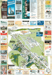
Mukilteo tourist map
Mukilteo, Washington tourist map. Shows all businesses.
326 miles away
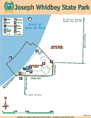
Joseph Whidbey State Park Map
Map of park with detail of trails and recreation zones
327 miles away
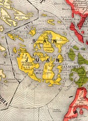
San Juan County Washington, 1909 Map
327 miles away

Orcas tourist map
Tourist map of Orcas, Washington. Shows all businesses.
327 miles away
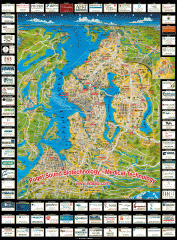
Puget Sound biotech map
Map of Puget Sound area biotechnology companies.
327 miles away
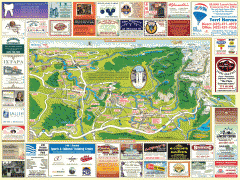
Snoqualmie tourist map
Snoqualmie, Washington tourist map. Shows all businesses.
328 miles away
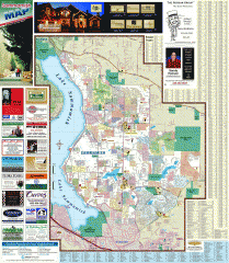
Sammamish tourist map
Tourist map of Sammamish, Washington. Shows all businesses.
328 miles away

Shadowrun Redmond Map
328 miles away

South Whidbey tourist map
Tourist map of South Whidbey, Washington. Shows all businesses.
328 miles away

South Whidbey Island tourist map
Tourist map of South Whidbey Island, Washington. Shows all businesses.
328 miles away
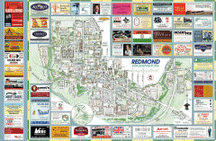
Redmond tourist map
Tourist map of Redmond, Washington. Shows all businesses.
329 miles away
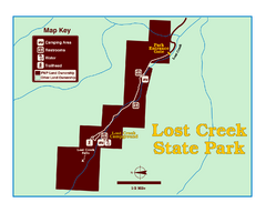
Lost Creek State Park Map
These spectacular gray limestone cliffs and pink and white granite formations rise 1,200 feet above...
329 miles away
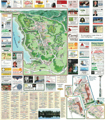
Sammamish tourist map
Sammamish, Washington tourist map. Shows all businesses.
329 miles away
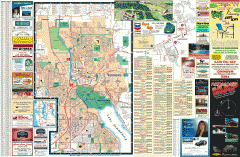
Redmond Area tourist map
Tourist map of the Redmond Area on Washington. Shows all businesses.
329 miles away
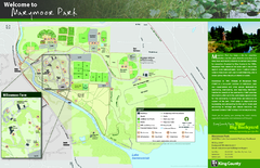
Marymoor Park Map
329 miles away

Coupeville tourist map
Tourist map of Coupeville, Washington. Shows all businesses.
329 miles away
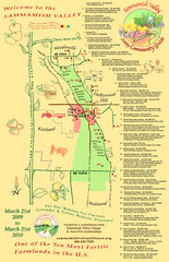
Sammamish Valley Guide Map
329 miles away

Whidbey Island tourist map
Tourist map of Whidbey Island and Coupeville, Washington. Shows all businesses.
329 miles away

Greater Kirkland tourist map
Tourist map of Greater Kirkland, Washington. Shows all businesses.
329 miles away

Helena, Montana City Map
330 miles away

