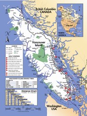
Vancouver Island Road Map
294 miles away
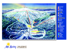
Mt. Baldy Family Ski Area Ski Trail Map
Trail map from Mt. Baldy Family Ski Area.
295 miles away
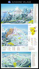
Sunshine Trail Map
Trail map of Sunshine Village
296 miles away
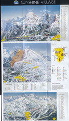
Banff’s Sunshine Village Ski Trail Map
Trail map from Banff’s Sunshine Village.
296 miles away
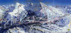
Sunshine Village Ski Trail Map
Official ski trail map of Sunshine Village ski area.
296 miles away
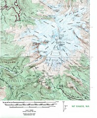
Mt. Baker Topo Map
Topo map of Mt. Baker, Washington, elevation 10,778ft.
297 miles away
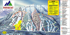
Banff Mount Norquay Ski Trail Map
Trail map from Banff Mount Norquay, which provides downhill skiing. This ski area has its own...
298 miles away
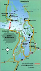
British Columbia, Canada Tourist Map
298 miles away
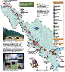
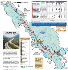
Banff National Park Map
299 miles away
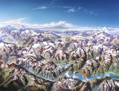
North Cascades National Park Oblique Map
Oblique map looking across Ross Damn, and Diablo Lake towards Seattle
299 miles away
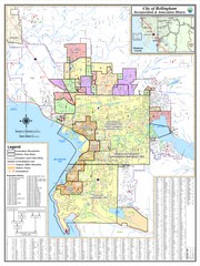
Bellingham, Washington City Map
299 miles away
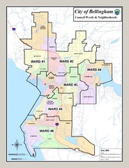
Bellingham Ward Map
Guide to wards in Bellingham, WA
299 miles away
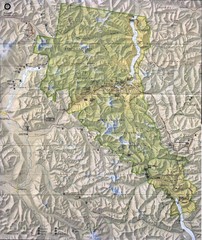
North Cascades National Park Physical Map
National Park
300 miles away
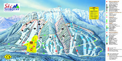
Norquay Map
Ski trail map
300 miles away
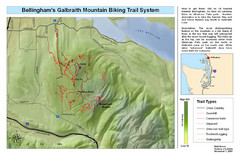
Bellingham Galbraith Mountain Biking Trail Map
Mountain biking trail map of Whatcom Falls Park near Bellingham, WA
301 miles away
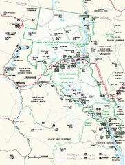
North Cascades National Park map
Official NPS map of North Cascades National Park, Washington. Shows the entire park and...
302 miles away
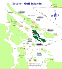
Southern Gulf Islands Map
Map of the region. Shows ferry routes.
302 miles away
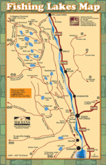
Radium Hot Springs Fishing Map
Beautiful map of the many fishing spots at this amazing site.
302 miles away
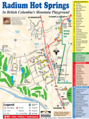
Radium Hot Springs Map
An easy to read map of this amazing hot springs area.
302 miles away
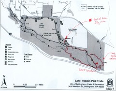
Lake Padden Park Trails Map
Course Elevation Map noted in handwriting on map. Festival location noted as well.
303 miles away
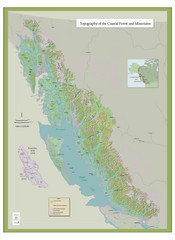
BC and Alaska Coastal Forest and Mountains Map
Relief map of coastal forest and mountains of southeast Alaska and British Columbia
303 miles away

Panorama Trail Map
Ski trail map
303 miles away
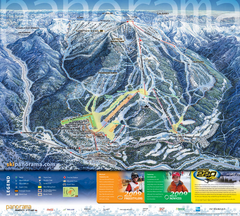
Panorama Mountain Village Ski Trail Map
Trail map from Panorama Mountain Village.
304 miles away

Kettle Valley Trails Map
Map of Kettle Valley Trails. Includes all trails, streets, and attractions.
304 miles away
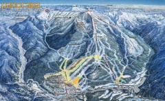
Panorama Ski Trail Map
Official ski trail map of Panorama ski area from the 2006-2007 season.
304 miles away
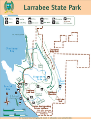
Larrabee State Park Map
Park map of Larrabee State Park, Washington.
306 miles away
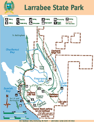
Larrabee State Park Map
Map of island with detail of trails and recreation zones
306 miles away
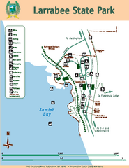
Larrabee State Park Map
Map of island with detail of trails and recreation zones
306 miles away
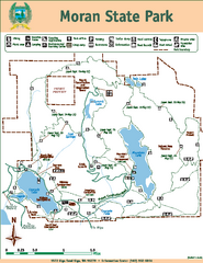
Moran State Park Map
Map of park with detail of trails and recreation zones
307 miles away
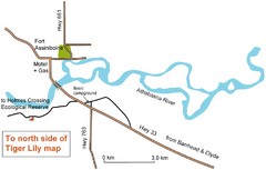
Fort Assiniboine Location Map
308 miles away

Phoenix Mountain Ski Trail Map
Trail map from Phoenix Mountain.
310 miles away
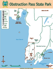
Obstruction Pass State Park Map
Map of park with detail of trails and recreation zones
311 miles away
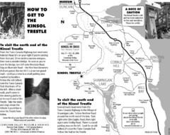
Kinsol Trestle Map
Map of the Kinsol Trestle
311 miles away

The Town of Sidney - Parks Map
312 miles away

Orcas tourist map
Tourist map of Orcas, Washington. Shows all businesses.
312 miles away
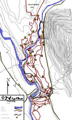
Nipika Ski Trail Map
Trail map from Nipika, which provides nordic skiing. This ski area has its own website.
312 miles away

Skagit County Washington, 1909 Map
313 miles away
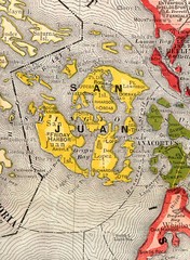
San Juan County Washington, 1909 Map
314 miles away

