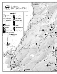
Cypress Provincial Park Map
Park map of Cypress Provincial Park, BC. Home of the North Shore Mountains. 2 pages.
260 miles away
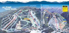
Cypress Mountain Ski Trail Map
Official ski trail map of Cypress Mountain ski area from the 2007-2008 season. Official freestyle...
260 miles away
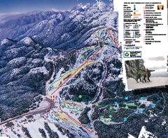
Mount Seymour Ski Trail Map
Trail map from Mount Seymour, which provides downhill, night, and terrain park skiing. It has 5...
260 miles away
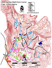
Cypress Mountain Tuesday Night Race Course Ski...
Trail map from Cypress Mountain, which provides downhill, night, nordic, and terrain park skiing...
260 miles away
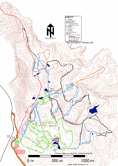
Cypress Mountain Nordic (Skiingbc.info Topo...
Trail map from Cypress Mountain, which provides downhill, night, nordic, and terrain park skiing...
260 miles away
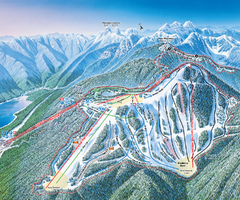
Grouse Mountain Ski Trail Map
Trail map from Grouse Mountain, which provides downhill, night, and terrain park skiing. It has 5...
260 miles away

Edmonton, Alberta Tourist Map
Edmonton, Alberta and the area west of it
260 miles away
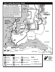
Belcarra Regional Park Trail Map
Trail map of Belcarra Regional Park, BC
261 miles away
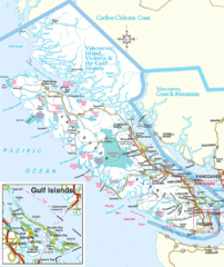
Vancouver Island Park Map
Parks and roads on Vancouver Island.
262 miles away
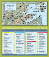
Bownen Island Tourist Map
262 miles away

Bowen Island 3D Aerial Map
3d aerial map of Bowen Island, BC
262 miles away
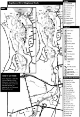
Capilano River Park Trail Map
Trail map of Capilano River Regional Park near Vancouver, BC
262 miles away
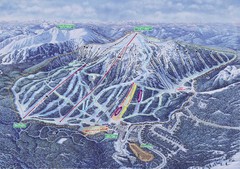
Apex Mountain Ski Resort Map
Apex Mountain Trail Map, Lifts and Elevations
263 miles away
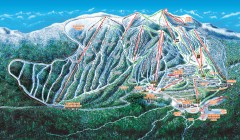
Big White Ski Trail Map
Official ski trail map of Big White ski area from the 2007-2008 season.
264 miles away
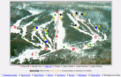
Whispering Pines Ski Trail Map
Trail map from Whispering Pines, which provides downhill and nordic skiing. This ski area has its...
265 miles away
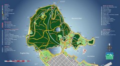
Stanley Park Map
265 miles away
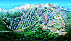
Big White Ski Resort Ski Trail Map
Trail map from Big White Ski Resort, which provides downhill, night, nordic, and terrain park...
265 miles away
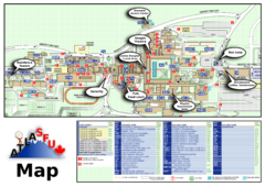
Simon Fraser University Campus Map
Simon Fraser University Campus Map includes the location of all buildings, bus stops, emergency...
266 miles away
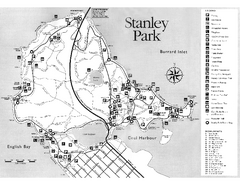
Stanley Park Trail Map
Trail map of Stanley Park near downtown Vancouver, BC. Shows monuments.
266 miles away
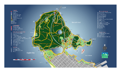
Stanley Park Map
Overview trail map of Stanley Park in Vancouver, BC.
266 miles away
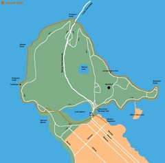
Stanley Park Map
266 miles away
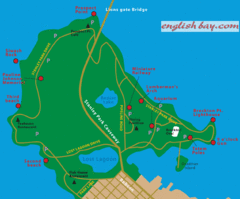
Stanely Park Map
266 miles away
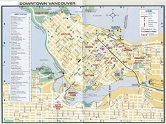
Vancouver Map
266 miles away
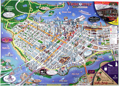
Vancouver Downtown Map
Panoramic tourist map of downtown Vancouver, BC. Shows major buildings in 3D.
267 miles away
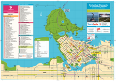
Map of Greater Vancouver
Tourism Vancouver's official map of Greater Vancouver. Shows accomodations, attractions...
267 miles away
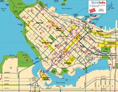
Vancouver Downtown Map
Detailed street map of Downtown Vancouver
267 miles away
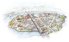
Granville Island Map
268 miles away
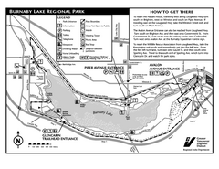
Burnaby Lake Park Trail Map
Trail map of Burnaby Lake Park in Vancouver, BC
268 miles away
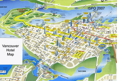
Vancouver Hotels Map
268 miles away
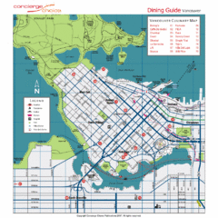
Downtown Vancouver Map
268 miles away
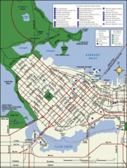
Vancouver Map
Street map of Vancouver
268 miles away
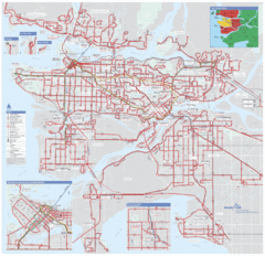
Vancouver Regional Transportation System Map
268 miles away
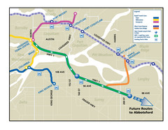
Highway 1 Rapid Bus Service Map
268 miles away
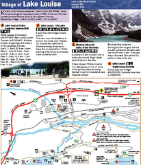
Lake Louise Area Map
Map of Lake Louise with detail of trails and recreation zones
268 miles away
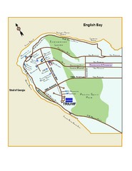
Downtown Vancouver Map
269 miles away
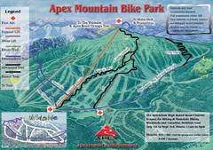
Apex Mountain Resort Biking Ski Trail Map
Trail map from Apex Mountain Resort, which provides downhill and terrain park skiing. It has 5...
269 miles away
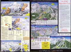
2007–08 2007–08 Ski Big 3 Side 2 (Lake Louise...
Trail map from Lake Louise, which provides downhill skiing. This ski area has its own website.
269 miles away
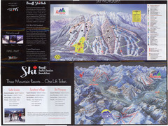
Lake Louise 2007–08 Ski Big 3 Side 1 (3...
Trail map from Lake Louise, which provides downhill skiing. This ski area has its own website.
269 miles away
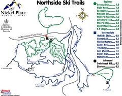
Nickel Plate Nordic Centre North Ski Trail Map
Trail map from Nickel Plate Nordic Centre.
269 miles away

