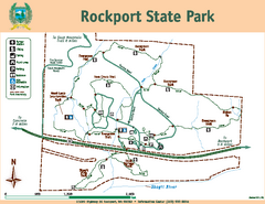
Rockport State Park Map
Map of park with detail of trails and recreation zones
97 miles away

Red Mountain Ski Trail Map
Trail map from Red Mountain.
98 miles away

2006–08 Black Jack Nordic Map
Trail map from Black Jack.
98 miles away

Red Mountain Trail Map
Ski trail map
98 miles away
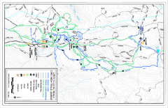
Larch Hills Nordics Core Ski Trail Map
Trail map from Larch Hills Nordics, which provides night and nordic skiing. This ski area has its...
99 miles away
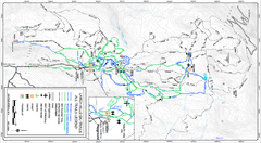
Larch Hills Nordics All Ski Trail Map
Trail map from Larch Hills Nordics, which provides night and nordic skiing. This ski area has its...
99 miles away
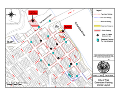
City of Trail Downtown Parking Map
Parking map of downtown Trail, British Columbia
103 miles away

City of Trail BC Map
Map of city of Trail, BC on the Columbia River
104 miles away
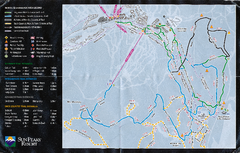
Sun Peaks Resort Nordic Ski Trail Map
Trail map from Sun Peaks Resort, which provides downhill, nordic, and terrain park skiing. This ski...
104 miles away
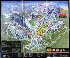
Sun Peaks Resort Ski Trail Map
Trail map from Sun Peaks Resort, which provides downhill, nordic, and terrain park skiing. This ski...
104 miles away
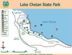
Lake Chelan State Park Map
Map of island with detail of trails and recreation zones
105 miles away
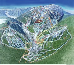
Sun Peaks Ski Trail Map
Official ski trail map of Sun Peaks ski area from the 2006-2007 season.
105 miles away
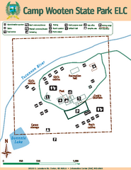
Camp Wooten State Park Map
Map of park with detail of trails and recreation zones
106 miles away
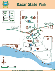
Rasar State Park Map
Map of park with detail of trails and recreation zones
107 miles away
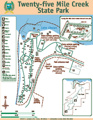
Twenty-Five Mile Creek State Park Map
Map of park with detail of trails and recreation zones
107 miles away
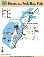
Steamboat Rock State Park Map
Map of park with detail of trails and recreation zones
108 miles away
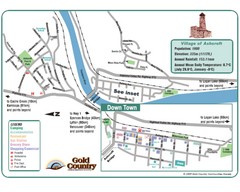
Ashcroft Map
Map of Ashcroft, includes all streets, highways, accommodations and attractions.
110 miles away
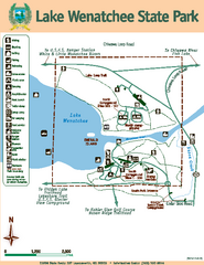
Lake Wenatchee State Park Map
Map of island with detail of trails and recreation zones
114 miles away
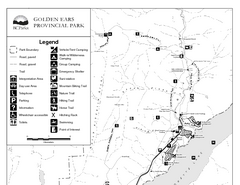
Golden Ears Provincial Park Map
Park map of Golden Ears Provincial Park, BC. 2 pages.
114 miles away
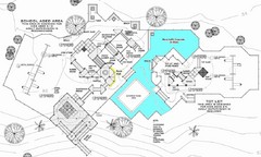
Lynden City Park Map
117 miles away
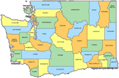
Washington State Counties Map
118 miles away
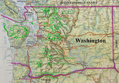
Washington State Road and Recreation Map
118 miles away
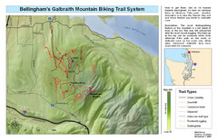
Bellingham Galbraith Mountain Biking Trail Map
Mountain biking trail map of Whatcom Falls Park near Bellingham, WA
119 miles away
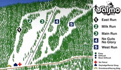
Salmo Ski Area Ski Trail Map
Trail map from Salmo Ski Area, which provides downhill skiing. This ski area has its own website.
120 miles away
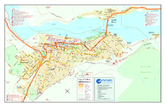
Nelson BC Town Map
121 miles away

Skagit County Washington, 1909 Map
121 miles away
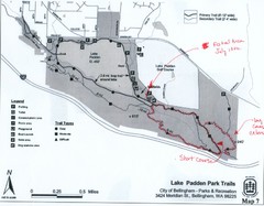
Lake Padden Park Trails Map
Course Elevation Map noted in handwriting on map. Festival location noted as well.
122 miles away
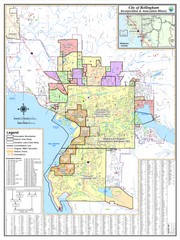
Bellingham, Washington City Map
123 miles away
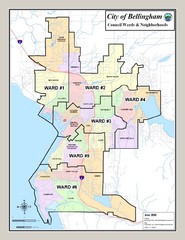
Bellingham Ward Map
Guide to wards in Bellingham, WA
123 miles away
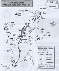
Little Pend Oreille Off Road Vehicle (ORV) Area...
Map of the Off Road Vehicle Area in Little Pend Oreille, Washington. Includes all bike trails...
123 miles away
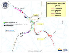
Nelson Nordic Ski Trail Map
Trail map from Nelson Nordic, which provides night and nordic skiing. This ski area has its own...
124 miles away
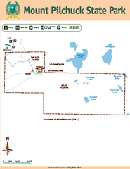
Mount Pilchuck State Park Map
Map of park with detail of trails and recreation zones
124 miles away
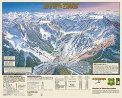
Stevens Pass Trail Map
124 miles away
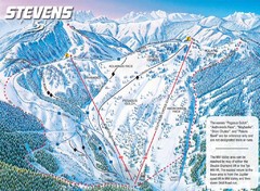
Stevens Pass Ski Area Stevens Pass Mill Valley...
Trail map from Stevens Pass Ski Area, which provides night and terrain park skiing. It has 8 lifts...
124 miles away
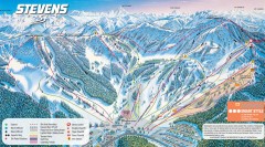
Stevens Pass Ski Trail Map
Official ski trail map of Stevens Pass ski area
125 miles away
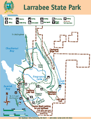
Larrabee State Park Map
Map of island with detail of trails and recreation zones
125 miles away
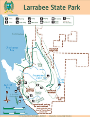
Larrabee State Park Map
Park map of Larrabee State Park, Washington.
125 miles away
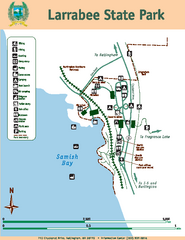
Larrabee State Park Map
Map of island with detail of trails and recreation zones
125 miles away
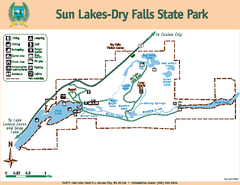
Sun Lakes-Dry Falls State Park Map
Map of park with detail of trails and recreation zones
126 miles away
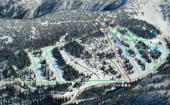
Whitewater Ski Resort Silver King Ski Trail Map
Trail map from Whitewater Ski Resort.
126 miles away

