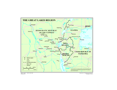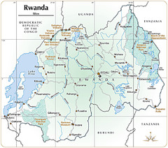
Rwanda Parks and Rainforest Map
891 miles away
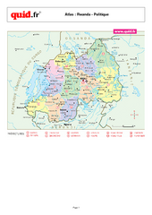
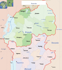
Rwanda Regional Map
Map of Rwanda with detail of regional divides
894 miles away
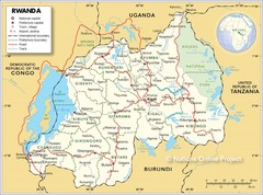
Rwanda Road Map
900 miles away
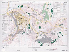
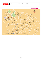
Kigali Road Map
908 miles away
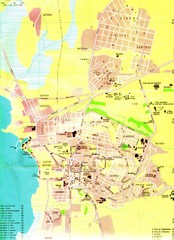
Bujumbura City Map
918 miles away
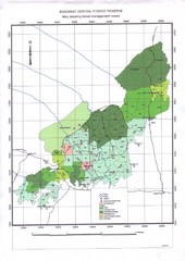
Budongo Forest Map
Budongo Forest Map Shows color-coded forest management zones.
923 miles away
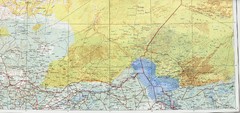
Lake Chad and Eastern Niger Physical Map
Physical map covers Lake Chad and East Niger. Shows roads and topography. Portion of Sheet 13...
923 miles away
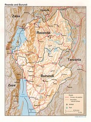
Rwanda Topographic Map
Guide to the African country of Rwanda
923 miles away
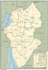
Rwanda and Burundi Guide Map
941 miles away
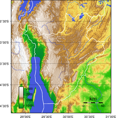
Burundi Topography Map
Color-coded physical relief map of country of Burundi
944 miles away
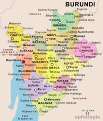
Burundi Political Map
945 miles away
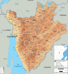
Burundi Physical Map
947 miles away
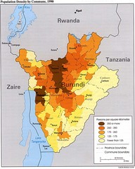
Burundi Population Density Map
Map of Burundi's population density by commune
949 miles away
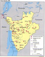
Burundi Power Plant Map
Map marking hydroelectric and thermal power plants, plus transmission lines.
949 miles away
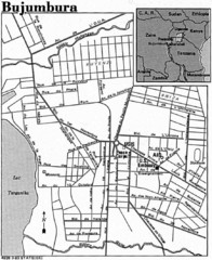
Burundi City Map
Simple city map labeling road systems.
949 miles away
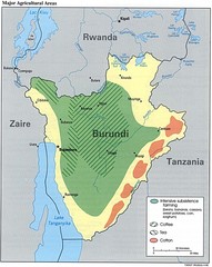
Burundi Agricultural Map
Map of Burundi's major agricultural areas
958 miles away
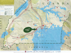
Uganda Tourist Map
Map of Uganda shows Trails and the proposed location of Equator City.
969 miles away
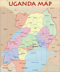
Uganda Political Map
Political map of Uganda. Shows regions, cities, and water features.
969 miles away
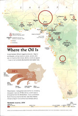
Sub-Saharan Africa Oil Map
Shows major oil producing countries in Sub-Saharan Africa. Biggest two countries are Nigeria and...
983 miles away
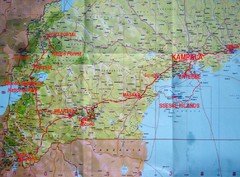
Uganda Tourist Map
988 miles away
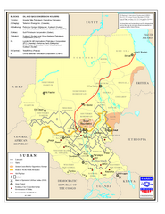
Sudan Oil and Gas Map
Map of Sudan's oil and gas concession holders
988 miles away
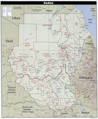
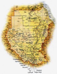
Sudan Map
Clear map of this amazing African nation.
988 miles away

Niger Map
996 miles away
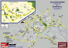
Kampala Tourist Map
Tourist map of Kampala
1007 miles away

Niger population Map
1031 miles away
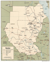
Sudan Map
Railroads, tracks, cities and borders are are marked on this clear map and legend.
1038 miles away
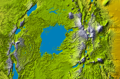
Lake Victoria topography Map
1052 miles away
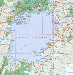
Lake Victoria 1968 Map
1059 miles away
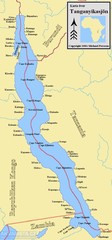
Lake Tanganyika Map
Deepest Lake in Africa at 4823 ft.
1060 miles away
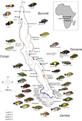
Fish of Lake Tanganyika Map
1077 miles away
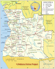
Angola Political Map
Detailed map of Angola marking borders, rivers,capitols, airports, provinces and more.
1078 miles away
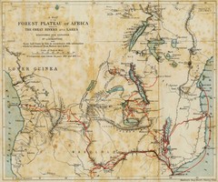
Forest Plateau of Africa Map
A historical Map of the Forest Plateau of Africa. Includes rivers, lakes, cities, and the route of...
1088 miles away
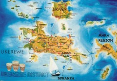
Ukerewe Island Lake Victoria Map
1093 miles away
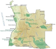
Angola National Parks Map
1098 miles away

Niger population density Map
1101 miles away

