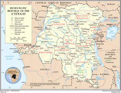
Democratic Republic of Congo Map
Overview map of the Democratic Republic of Congo (DRC).
622 miles away
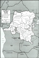
Republic of the Congo 1964 Military Map
Map of the military situation with a hostage crisis in 17 July 1964. Map shows rebel forces and...
639 miles away
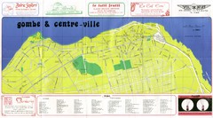
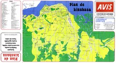
Kinshasa Gombe and Centreville Tourist Map
Tourist map of Gombe and Centreville in Kinshasa. Shows streets and points of interest. In French...
642 miles away
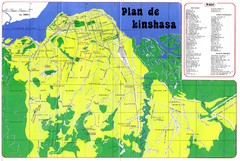
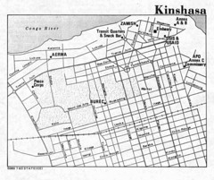
Kinshasa Overview Map
Overview map of Kinshasa, Democratic Republic of Congo shows major streets.
644 miles away
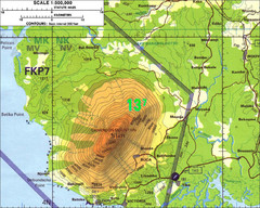
Mt Cameroon Topo Map
Topographic map of Mt. Cameroon, 13,255 feet.
649 miles away
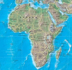
Physical Africa Map
656 miles away
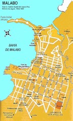
Malabo city Map
677 miles away
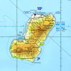
Bioko-Fernando Po island Map
683 miles away
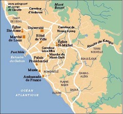
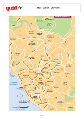
Libreville City Map
Simple map marking towns and roads.
688 miles away

Lake Chad water levels Map
689 miles away
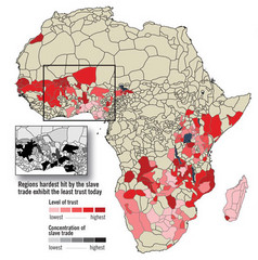
African distrust and the slave trade Map
692 miles away
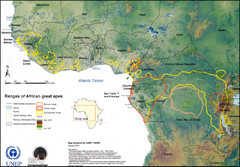
African Great Apes Habitat Range Map
Shows habitat ranges of chimpanzees, bonobos, and gorillas
699 miles away
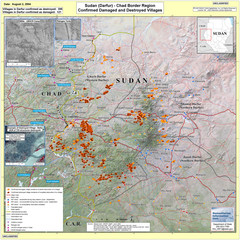
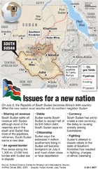
Villages Destroyed in Darfur, Sudan Map
Guide to villages destroyed as of August 2, 2004 in the Darfur region of Sudan
714 miles away
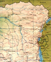
Zaire (Eastern Region) Map
Eastern Zaire (now Democratic Republic of the Congo)
716 miles away

Sudan Darfur Province Map
Map of Sudan's Darfur province including high level of details for villages. Source(s...
726 miles away
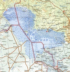
Niger Lake Chad Map
774 miles away
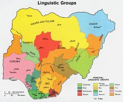
Nigeria Linguistic groups 1979 Map
808 miles away
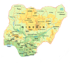
Nigeria Map
812 miles away
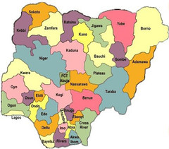
Nigeria political regions Map
816 miles away
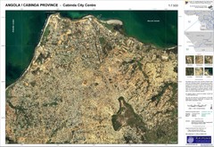
Cabinda City Map
Topo city map of central Cabinda, Angola. Shows points of interest.
817 miles away
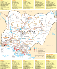
Nigeria electric grid Map
826 miles away
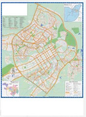
Abuja City Tourist Map
Tourist map of Abuja, Nigeria. Mostly illegible.
828 miles away
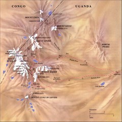
Rwenzori National Park Mt. Stanley Map
829 miles away
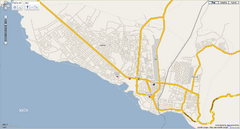
Goma, Congo street map
Street map of eastern Congo–Kinshasha city of Gome, near the Rwanda border. Produced by...
846 miles away
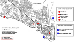
City of Goma Evacuation Plan, late 2007 Map
Map of Goma indicating evacuation points for Congolese government push against rebel groups (mostly...
846 miles away
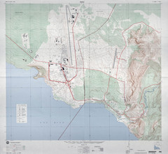
Goma Map
Goma, Democratic Republic of the Congo • original scale 1:7,500, Edition 3-DMA, Series Z091.
848 miles away
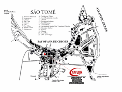
Sao Tome City Map
City map of Sao Tome with tourist information
866 miles away
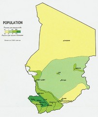
Chad Population Map 1964
Guide to the population of Chad, according to the 1964 census
876 miles away
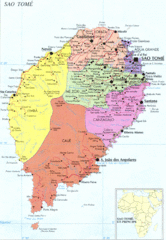
Sao Tome Political Map
Political map of island of São Tomé, lying on the equator off the west coast of...
876 miles away
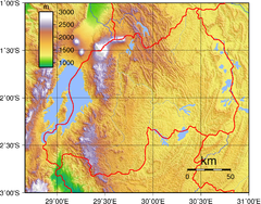
Rwanda Topography Map
889 miles away

