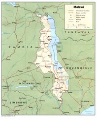
Malawi Map
Guide to Malawi, a country in Africa
0 miles away
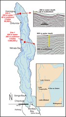
Lake Malawi Bathemetric Map
51 miles away
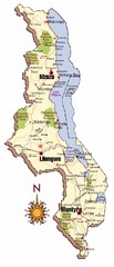
Malawi Map
71 miles away
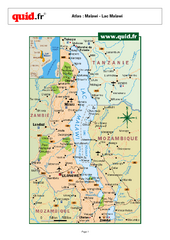
Lake Malawi Map
Map of Lake Malawi and surrounding region
91 miles away
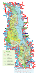
Malawi Overview Map
Overview of country of Malawi on Lake Malawi. Shows roads and rivers.
94 miles away

Lake Malawi Map
181 miles away
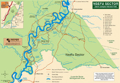
Nsfeu Sector South Luangwa National Park Map
225 miles away

Mfuwe Area South Luangwe National Park Map
233 miles away
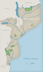
Mozambique National Parks Map
336 miles away
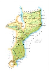
Mozambique Map
340 miles away
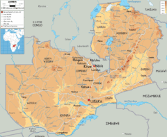
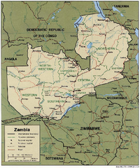
Zambia physical Map
343 miles away
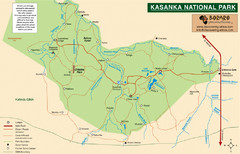
Kasanka National Park Map
346 miles away
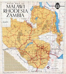
Malawi, Rhodesia and Zambia Road Map
Road map to the southern countries of Africa
350 miles away
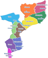
Mozambique Political Map
387 miles away
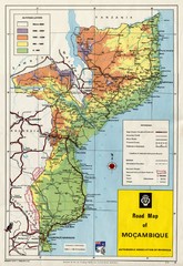
Mozambique Road Map
Shows major roads. Color-coded by elevation.
387 miles away
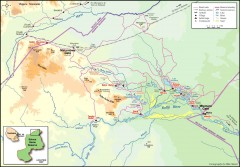
Seleous Game reserve, northern portion Map
Shows the northern part of the Seleous Game reserve in Tanzania around the Rufiji River and Beho...
411 miles away
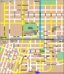
Harare City Tourist Map
Map of city center with detail of street names and hotels
435 miles away
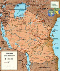
Tanzania Map
464 miles away

Early East and Central Africa Map - Slug Map
Sketch of a Map from 1 & deg;N. to 15 & deg;S. Latitude and from 23 & deg; to 43 &...
480 miles away

Zambezi River Basin Map
502 miles away
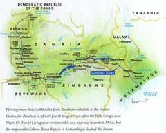
Zambezi River Map
505 miles away
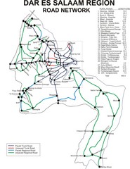
Dar Es Salaam Road Map
Map of road network in Dar Es Salaam, Tanzania
508 miles away
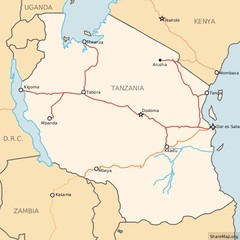
Railways in Tanzania Map
Railway network of Tanzania Map licensed on Creative Commons Share Alike License 3.0 You can...
508 miles away
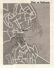
Dar es Salaam, Tanzania Tourist Map
508 miles away
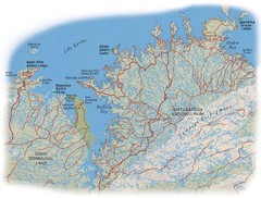
Matusadona National Park Map
522 miles away
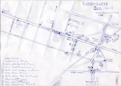
Hand Drawn Lubumbashi City Map
The City Center of Lubumbashi in the Democratic Republic of the Congo
539 miles away
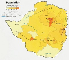
South Rhodesia Population Map
This map marks the distribution of population within South Rhodesia.
542 miles away
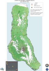
Grand Comore Island Volcanic Eruption Map
Karthala volcanic eruption post disaster map on Grand Comore Island, 8/12/2005
546 miles away
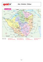
Zimbabwe Regional Map
Country map with detail of regional divides
551 miles away
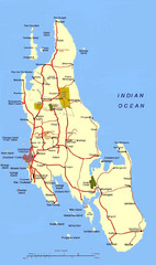
Zanzibar Tourist Map
551 miles away
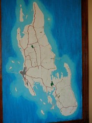
Zanzibar Island Map
Island map of Zanzibar, Tanzania From photo Oct 3 2007
553 miles away

Grand Comore Island Topography Map
554 miles away
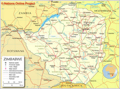
Zimbabwe Tourist Map
581 miles away
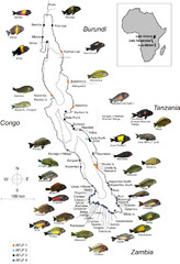
Fish of Lake Tanganyika Map
592 miles away


 Explore Maps
 Map Directory
