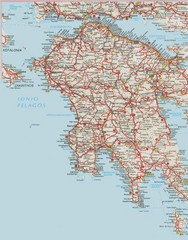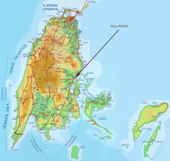
Lefkada Tourist Map
Tourist map of island of Lefkada, Greece.
0 miles away
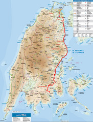
Lefkada Tourist Map
Tourist map of Ionian island of Lefkada, Greece. Shows points of interest. Also shows island of...
0 miles away
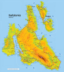
Kefalonia and Ithaka Map
Detailed elevation map of islands of Kefalonia and Ithaka (Ithaki), Greece
29 miles away
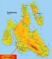
Kefalonia Map
32 miles away
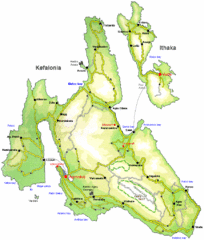
Kefalonia and Ithaka Overview Map
Overview map of the islands of Kefalonia and Ithaka (Ithaki), Greece.
32 miles away
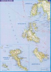
Ionian Islands Map
Overview map of the Greek Ionian Islands including Lefkada, Kefalonia, Zakynthos, Corfu, and Paxo...
35 miles away
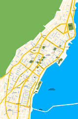
Argostoli City Map
Simple street map of island city of Argostoli, Kefalonia, Greece. Some points of interest shown.
38 miles away
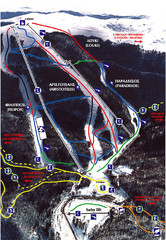
3–5 Pigadia Ski Trail Map
Trail map from 3–5 Pigadia.
47 miles away
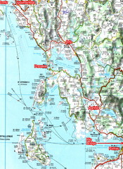
Igoumenitsa to Patras Travel Map
55 miles away
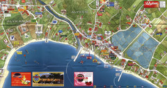
Alykanas and Alykes Map
Tourist map of Alykanas and Alykes, Zakynthos Island, Greece. Shows businesses.
60 miles away
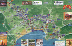
Tsilivi Tourist Map
Tourist map of town of Tsilivi, Zakynthos Island, Greece. Shows businesses. Scanned
63 miles away
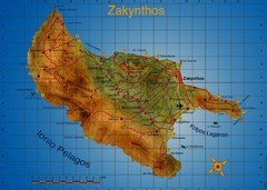
Zakynthos Tourist Map
Tourist map of island of Zakynthos, Greece. Shows points of interest. Scanned.
64 miles away
Zakynthos Island Map
Detailed map of Zakynthos Island. Scanned
65 miles away
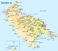
Zakinthos Tourist Map
Tourist map of island of Zakinthos, Greece. Shows symbols for tourist activities.
65 miles away
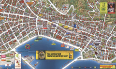
Zakynthos Town Map
Detailed tourist map of Zakynthos Town, Zakynthos Island, Greece. Shows businesses.
66 miles away
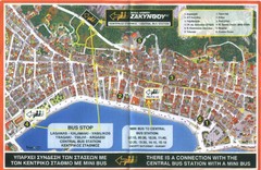
Zakynthos City Tourist Map
Tourist map of Zakynthos city on Zakynthos Island. Shows major points of interest and bus routes...
66 miles away
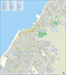
Patra Tourist Map
Tourist map of central Patra, Greece. Shows points of interest.
67 miles away
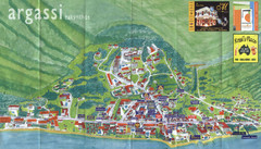
Argassi Tourist Map
Tourist map of Argassi, Zakynthos Island, Greece. Shows all businesses. Scanned.
67 miles away
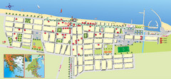
Paralia Tourist Map
Tourist map of Paralia, Greece. Shows hotel locations. Insets show location in Greece.
68 miles away
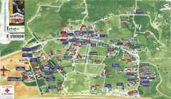
Kalamaki Zakynthos Tourist Map
Tourist map of town of Kalamaki on Zakynthos Island. Scanned.
68 miles away
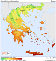
Solar Radiation Map of Greece
Solar Radiation Map Based on high resolution Solar Radiation Database: SolarGIS. On the Solar Map...
68 miles away
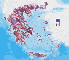
Greece Population Density Map
Shows population density of Greece. Inhabitants per square kilometer.
68 miles away
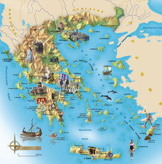
Greece Tourist Map
Stylized tourist map of Greece showing ancient points of interest. In Russian.
68 miles away
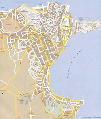
Corfu Town Map
Tourist map of town of Corfu (Kerkyra) on the island of Corfu, Greece.
74 miles away
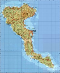
Corfu Tourist Map
Tourist map of island of Corfu, Greece. Shows roads and points of interest.
74 miles away
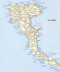
Corfu Guide Map
74 miles away
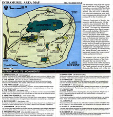
Butrint and its monuments Map
79 miles away
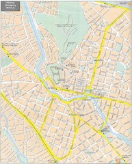
Trikala Street Map
Street map of central Trikala, Greece. In Greek and English. Scanned.
84 miles away
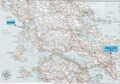
Greece Road Map
Map of Greece with the Aktion and Eleftherios Venizelos Airports marked.
96 miles away
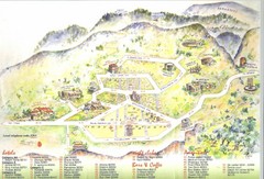
Delphi Tourist Map
Tourist map of Delphi (Delfi), Greece. Shows amenities, nightclubs, bars, cafes, and hotels...
101 miles away
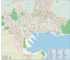
Volos Tourist Map
Tourist map of Volos, Greece. Shows points of interest and some conference info.
132 miles away
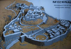
Ancient Mycenae Map
Map of Prehistoric reconstruction of edifices in Mycenae Corfu - green island of Greece
133 miles away
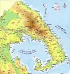
Pelion Tourist Map
Tourist map of Pelion region of Greece including city of Volos. Shows points of interest. Scanned.
134 miles away
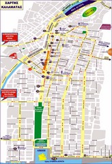
Kalamata Tourist Map
Tourist map of central Kalamata, Greece. Shows points of interest. In Greek.
141 miles away
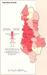
Albania Population Map
Population density map of Albania
155 miles away
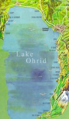
Lake Ohrid Tourist Map
Tourist map of Lake Ohrid in Macedonia. Shows points of interest around the lake
161 miles away

Hydra, Greece Tourist Map
Getting to Hydra Island
164 miles away
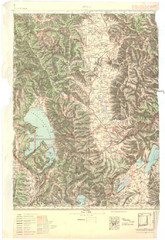
Bitola Region Topo Map
Topo map of the region surrounding Bitola, Macedonia.
165 miles away
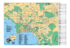
Ohrid tourist map
City of Ohrid - travel map. City names, places of interest.
167 miles away

