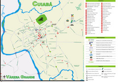
Cuiaba Tourist Map
Tourist street map of town
693 miles away
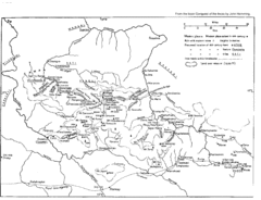
Vilcabamba Map
Shows the old Vilcabamba in Peru from the time of the Incas
700 miles away
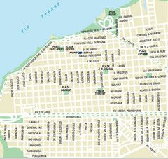
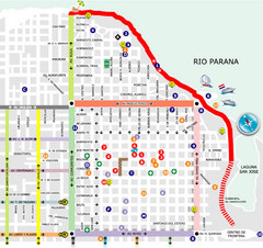
Corrientes City Map
Street map of city center
700 miles away
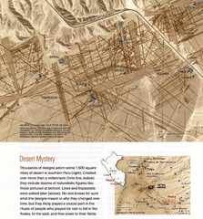
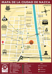
Nasca Lines Map
From National Geographic Magazine
700 miles away
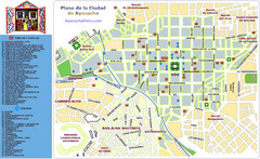
Ayacucho Tourist Map
Tourist map of town center
715 miles away
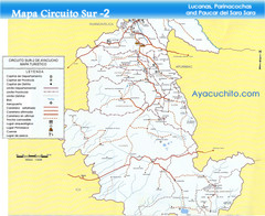
Southern Ayacucho Peru Tourist Map
Tourist Attractions, roads, cities and borders identified in Spanish.
715 miles away
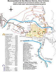
San Marcos Sierras Tourist Map
Tourist map
778 miles away
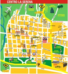
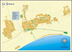
La Serena Center Tourist Map
Tourist map of city center
793 miles away
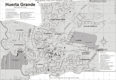
Huerta Grande Tourist Map
Tourist street map
798 miles away
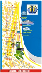
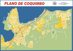
Coquimbo Center Touist Map
Tourist map of city center
798 miles away
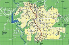
La Falda Map
Street map of city
800 miles away
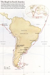
Darwin's South American Voyages 1831/36 Map
From National Geographic Magazine
803 miles away
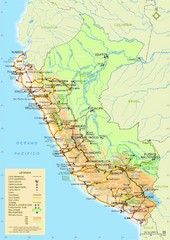
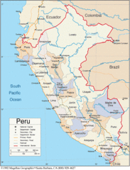
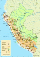
Peru Tourist Map
Roads, cities and landmarks in Peru
807 miles away
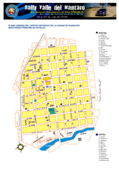
Huancayo Center Map
Map of city center with detail of local hostels
815 miles away
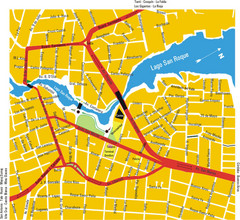
Villa Carlos Paz Center Map
Map of city center
823 miles away
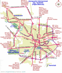
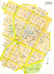
Cordoba City Map
Clear and descriptive city map.
824 miles away
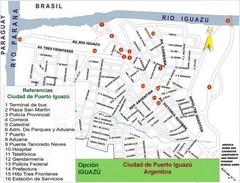
Puerto Iguazu Tourist Map
Tourist street map
826 miles away
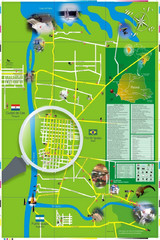
Iguacu Falls Tourist Map
Tourist map of Iguacu Falls, Brazil. Shows points of interest.
828 miles away
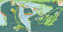
Iguazu National Park Map
Tourist map of park
833 miles away
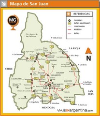
San Juan Province Map
Map of region with detail of main towns
835 miles away
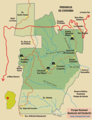
Quebrada del Condorito National Park Map
Map of park with detail of trails
837 miles away
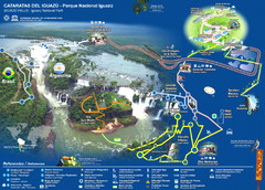
Iguasu Park Map
838 miles away
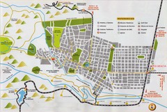
Alta Gracia Tourist Map
Tourist street map
839 miles away
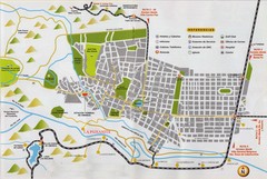
La Paisanita Tourist Map
Tourist street map
842 miles away
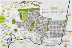
La Bolsa Tourist Map
Tourist street map
844 miles away
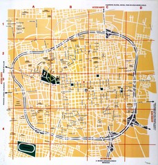
San Juan City Map
Street map of city
844 miles away
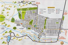
Valle Anizacate Tourist Map
Tourist street map
845 miles away

Mississippi Airports Map
850 miles away

