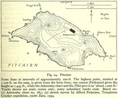
Historic Pitcairn Islands Map
Guide to Pitcairn Islands, a British overseas territory
3252 miles away
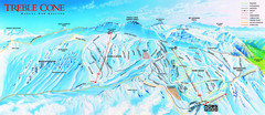
Treble Cone Trail Map
Ski trail map of Treble Cone mountain
3252 miles away
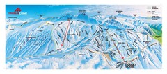
Treble Cone Trail Map
Ski trails on Treble Cone Mountain
3252 miles away
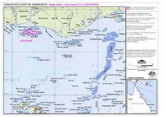
Torres Strait Land Use Map
Map of land use agreement for Boigu Island. Shows islands in the Torres Strait between Papua New...
3257 miles away
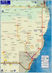
Northern New South Wales Map
Map of long-distance rail system throughout New South Wales and South East Queensland
3257 miles away
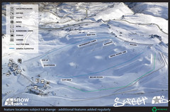
Snow Park Ski Trail Map
Trail map from Snow Park.
3263 miles away
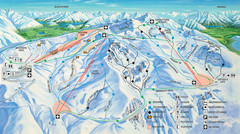
Cardrona Ski Trail Map
Trail map from Cardrona.
3264 miles away
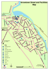
Arrowtown Street Map
3272 miles away
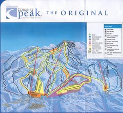
Coronet Peak Ski Trail Map
Trail map from Coronet Peak.
3273 miles away
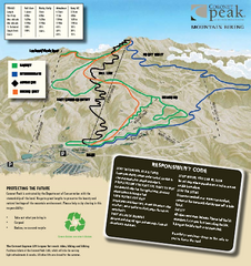
Coronet Peak Mountain Bike Trail Map
Mountain biking trail map for Coronet Peak
3273 miles away
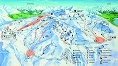
Cardrona Trail Map
3275 miles away
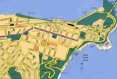
Newcastle City Map
City map of Newcastle
3277 miles away
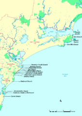
Hunter Ocean, Australia Beach Tourist Map
3277 miles away
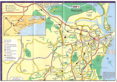
Newcastle Map
3277 miles away
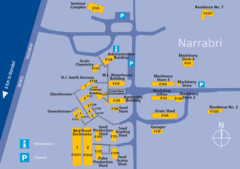
The University of Sydney, Narrabri Campus Map
3281 miles away
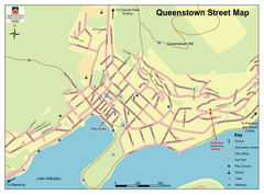
Queenstown Map
Street map of Queenstown
3282 miles away
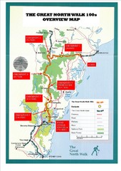
Great North Walk 100s Overview Map
Trail map for the Great North Walk 100's with distances and checkpoints marked
3283 miles away

The Great North Walk Trail Map
The Great North Walk connects New South Wales’ two largest cities from the obelisk in...
3284 miles away
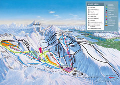
The Remarkables Ski Trail Map
Trail map from The Remarkables.
3285 miles away
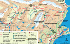
Otago Central Map
Otago map with detail of regional towns, rail station stops, and highways
3289 miles away
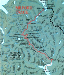
Milford Track Map
Map of Milford Track walking trail
3290 miles away
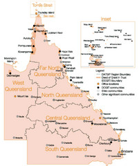
Queensland Map
Map of Queensland and Torres Strait islands
3291 miles away
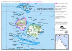
Badu Island and Moa Island Map
3294 miles away
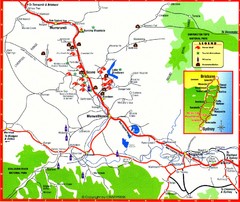
Upper Hunter Valley Tourist Map
Tourist map of Upper Hunter Valley around Muswellbrook, NSW, Australia. Shows horse studs, tourist...
3295 miles away
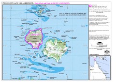
Badu Island Land Use Map
Land use agreement map on Badu Island in the Torres Strait.
3299 miles away
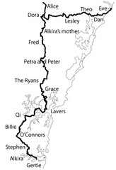
Family Histories in New South Wales Map
Treasure hunt a walker's comapnion's family hisotry around New South Wales. Experience...
3304 miles away
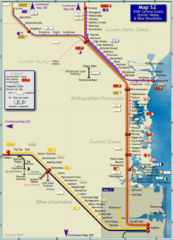
Hunter Valley Rail Map
Map of rail system throughout Hunter Valley, New South Wales Central Coast, and Blue Mountains
3304 miles away
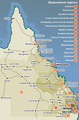
Queensland Map
Map of Queensland region with detail of districts
3325 miles away
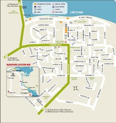
Te Anau Street Map
3327 miles away
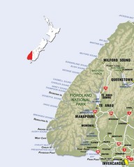
Fiordland Map
Map of Fiorland National Park region
3334 miles away
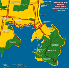
Manly Beach Map
3335 miles away
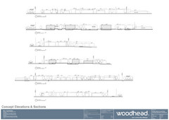
Woodhead Community Lifestyle Map
Elevation sections of the Blue Dolphin Joint Venture in North Sydney
3340 miles away
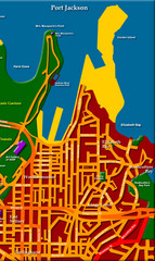
Sydney City Map
City map of Sydney: Kings Cross to Central
3340 miles away
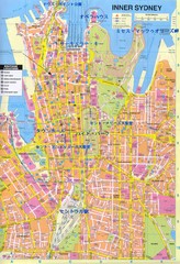
Sydney (in Japanese) Map
3341 miles away
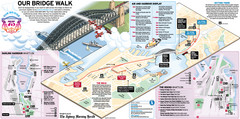
Sydney Harbour Bridge 75th Anniversary Walk Map
Map of Harbour Bridge 75th Anniversary Walk held on March 18, 2007
3341 miles away
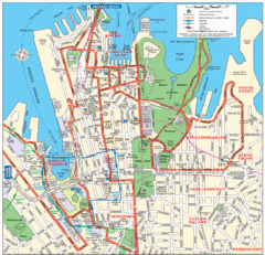
Sydney City Map
City Map of Sydney with tourist information
3341 miles away
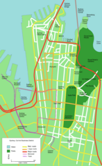
Sydney Central Business District Map
3341 miles away
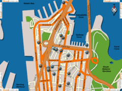
Sydney Hotel Map
3341 miles away
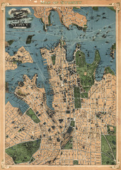
Robinson’s map of Sydney, Australia (1922)
Fun-looking and quite expertly-rendered overhead map of Australia's most populous city: Sydney...
3341 miles away

