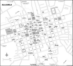
Alajuela City Map
646 miles away
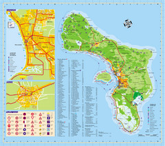
Bonaire Island Tourist Map
647 miles away
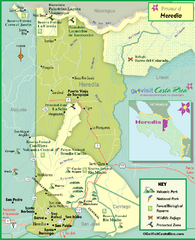
Heredia Tourist Map
Tourist map of Heredia region
647 miles away
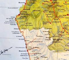
ruta del sol Map
653 miles away
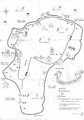
Big Corn Island Tourist Map
654 miles away
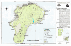
Corn Island Topo Map
654 miles away

Venezuela Indigenes populations Map
655 miles away
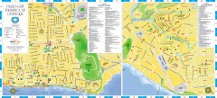
Guayaquil Tourist Map
Shows center and north sectors of Guayaquil, Ecuador. Shows points of interest. In Spanish.
655 miles away
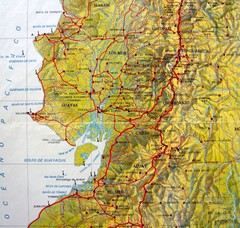
Relieve del Ecuador Map
655 miles away
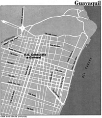
Guayaquil, Ecuador Tourist Map
657 miles away
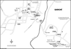
Sarchi Costa Rica Map
657 miles away
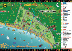
Jaco Tourist Map
663 miles away
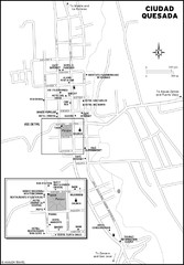
Ciudad Quesada Map
668 miles away
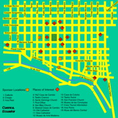
Cuenca Street Map
Streets and more are marked on this map and legend.
676 miles away
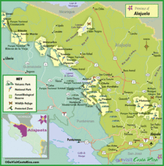
Alajuela Tourist Map
Tourist map of Alajuela region
678 miles away
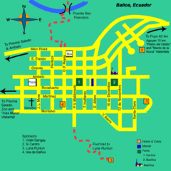
Banos Map
Simple map and legend of this small city.
679 miles away
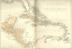
Central America and the West Indies Map
Historical Map of Central America and the West Indies Map
681 miles away
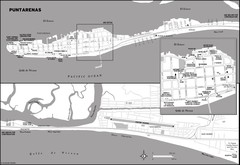
Puntarenas Costa Rica Map
683 miles away
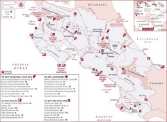
Costa Rica Nature map
Natural overview map of Costa Rica. Shows parks, beaches, adventure destinations, and bird...
686 miles away
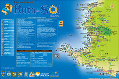
Ruta del Sol Tourist Map
Tourist map of the Ruta del Sol near Santa Elena, Ecuador. Shows points of interest
687 miles away

Venezuela relief Map
689 miles away
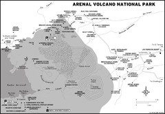
Arenal Volcano National Park Map
690 miles away
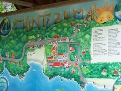
Montezuma Tourist Map
Tourist map of Montezuma, Costa Rica. Shows accomodations and other points of interest. From...
691 miles away

Venezuela Map
692 miles away
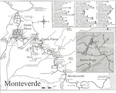
Monteverde Santa Elena Tourist Map
692 miles away
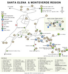
Santa Elena & Monteverde Map
693 miles away
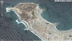
Peninsula de Santa Elena Map
693 miles away
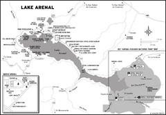
Lake Arenal Map
698 miles away
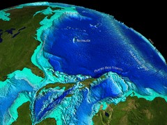
Caribbean Sea Bathymetry Map
706 miles away
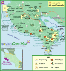
Nicoya Penninsula Tourist Map
706 miles away
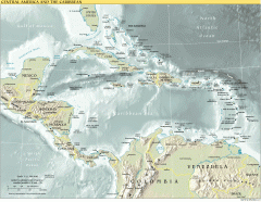
Overview map of Central America and the Caribbean
Shows the entire Caribbean region with names of islands/countries and major towns/cities.
713 miles away
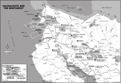
Guanacaste and the Northeast Map
724 miles away
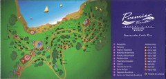
Premier Fiesta Resort and Spa Map
Fiesta Resort Map (Now Hilton)
732 miles away

Panoramic view of Nicaragua Canal route Map
733 miles away
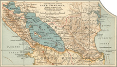
Early map of Nicaragua Canal
This was the original route for a canal across Central America
735 miles away
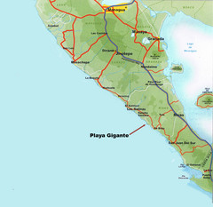
Cental America Coast Map
736 miles away
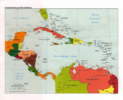
Central American and the Caribbean Political Map
738 miles away
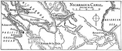
Route of Nicaragua Canal 1906 Map
741 miles away

