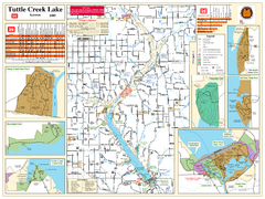
Tuttle Creek Lake Map
Army Corps of Engineers Map of Tuttle Creek Lake and adjoining State Parks.
224 miles away

Coffeen Lake, Illinois Site Map
225 miles away
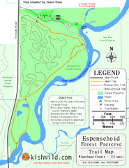
Espenscheid Forest Preserve Map
Trail map of Espenscheid Forest Preserve in Winnebago county, Illinois.
225 miles away
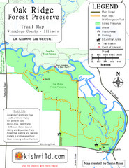
Oak Ridge Forest Preserve Map
Trail map of Oak Ridge Forest Preserve in Winnebago County, Illinois.
225 miles away
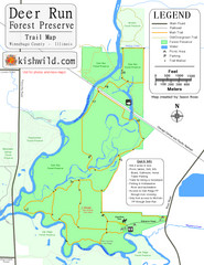
Deer Run Forest Preserve Map
Trail map of Deer Run Forest Preserve in Winnebago County, Illinois.
225 miles away
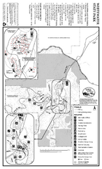
Whitewater State Park Map
map of park with detail of trails and recreation zones
225 miles away
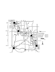
Sugar River Map
Towns, roads and rivers are all clearly marked on this map.
225 miles away
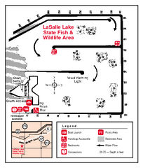
LaSalle Lake, Illinois Site Map
225 miles away
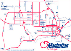
Manhattan (Kansas) City Map
City Map of Manhattan, Kansas including Kansas State University
226 miles away
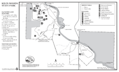
Kilen Woods State Park Winter Map
Winter seasonal map of park with detail of trails and recreation zones
226 miles away
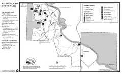
Kilen Woods State Park Summer Map
Summer seasonal map of park with detail of trails and recreation zones
226 miles away
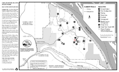
Great River Bluffs State Park Summer Map
Summer season map of park with detail of trails and recreation zones
227 miles away
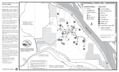
Great River Bluffs State Park Winter Map
Winter season map of park with detail of trails and recreation zones
227 miles away
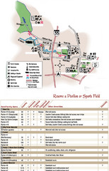
City of Festus Parks Map
227 miles away
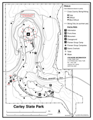
Carley State Park Map
Map of park with detail of trails and recreation zones
228 miles away
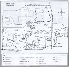
Rock Cut State Park, Illinois Site Map
229 miles away

Rock Cut State Park Map
Trail map of Rock Cut State Park in Winnebago County, Illinois.
229 miles away
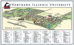
Northern Illinois University Map
Northern Illinois University Campus Map. All areas shown.
229 miles away

Lib Conservation Area Map
Trail map of Lib Conservation Area in Boone County, Illinois.
229 miles away
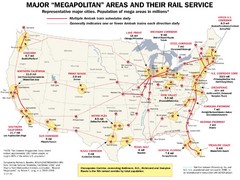
Amtrak Major Railway Map
Guide to major cities and rail lines connecting them
230 miles away
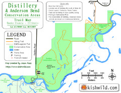
Distillery Conservation Area Map
Trail map of Distillery and Anderson Bend Conservation Areas in Boone County, IL.
230 miles away
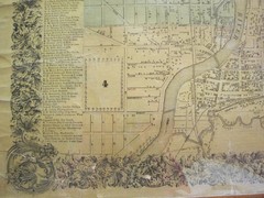
Beloit City Map
City map of Beloit, Wisconsin SW from 1858
231 miles away
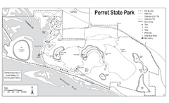
Perrot State Park Map
Have a wonderful vacation hiking through this natural setting.
231 miles away
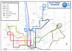
Beloit Bus Routes Map
232 miles away
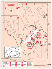
Ramsey Lake State Park, Illinois Site Map
233 miles away
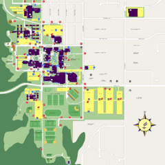
Minnesota State University Mankato Campus Map
Campus map of Minnesota State University Mankato
234 miles away
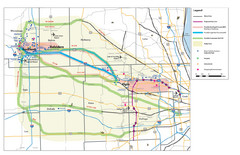
Northern Illinios Communter Transportation Map
Study Map with Activity Centers
234 miles away

Sakatah Lake State Park Map
map of park with detail of trails and recreation zones
235 miles away

Mount Kato Ski Area Ski Trail Map
Trail map from Mount Kato Ski Area.
235 miles away
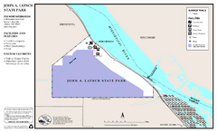
John A. Latsch State Park Map
Map of park with detail of trails and recreation zones
235 miles away
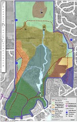
Pheasant Branch Conservancy Vegetation Map
Vegetation map of the Pheasant Branch Conservancy in Middleton, Wisconsin. Shows vegetative...
236 miles away
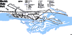
Merrick State Park Map
Beautiful hikes around the waterfront.
236 miles away
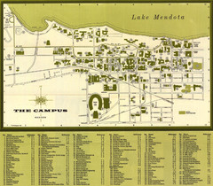
University of Wisconsin-Madison Campus (1964...
University of Wisconsin-Madison (1964) Visitor's Map
236 miles away
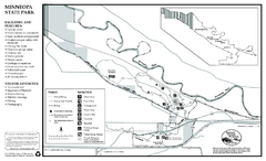
Minneopa State Park Map
Map of park with detail of trails and recreation zones
236 miles away
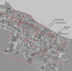
University of Wisconsin-Madison Campus Map
Map of the University of Wisconsin Campus. Includes all buildings, streets, and auditoriums.
236 miles away
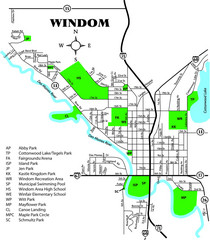
Windom City Parks Map
236 miles away
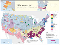
Census 2000 Data Top US Ancestries by County Map
Guide to Ancestries in the US
237 miles away

Urban Neighborhood Map: Madison Map
This Urban Neighborhood Poster of Madison is a modern twist on traditional maps. The typography...
237 miles away
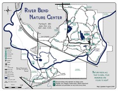
River Bend Nature Center Map
237 miles away
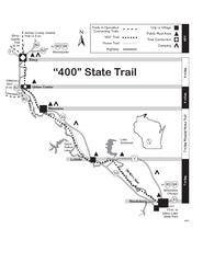
400 State Trail Map
Long and beautiful trail through Wisconsin's finest.
238 miles away

