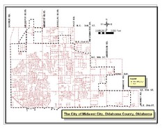
Midwest City Map
City map of Midwest City, Oklahoma
444 miles away
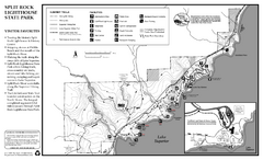
Split Rock Lighthouse State Park Summer Map
Summer seasonal map of park with detail of trails and recreation zones
444 miles away
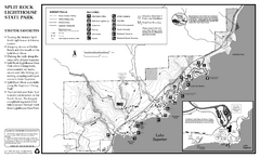
Split Rock Lighthouse State Park Winter Map
Winter seasonal map of park with detail of trails and recreation zones
444 miles away
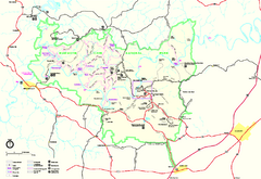
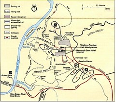
Mammoth Cave National Park Official Park Map
Official NPS map of Mammoth Cave National Park in Kentucky. Most of the park's resources and...
444 miles away
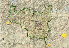
Mammoth Cave National Park Map
Visitor Center Area Map and Park Map. Topographical map that shows parameters of the park as well...
444 miles away
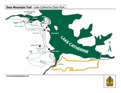
Lake Catherine State Park Trails Map
Hiking Trail map for Lake Catherine State Park also showing overview of the lake and park...
445 miles away
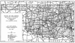
Oklahama Highway Map
Highway Map of Oklahoma State circa 1935. Includes all roads, towns, and detailed information on...
445 miles away
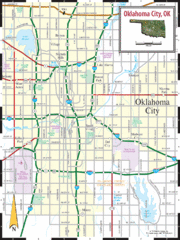
Oklahoma City, Oklahoma City Map
445 miles away
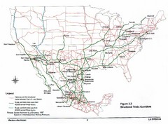
Mexico and U.S. Trade Corridors Map
445 miles away
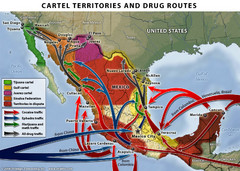
Mexican Drug Cartel Territories and Routes Map
447 miles away
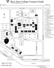
Rose State College Campus Map
Campus Guide to Rose State College, OK
447 miles away
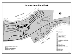
Interlochen State Park, Michigan Site Map
447 miles away
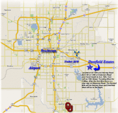
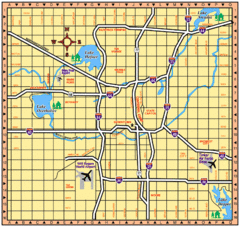
Oklahoma City, Oklahoma Tourist Map
449 miles away
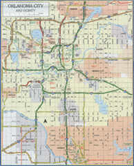
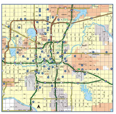
Oklahoma City, Oklahoma Tourist Map
449 miles away
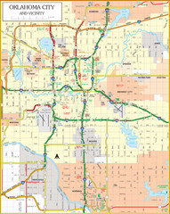
Oklahoma City, Oklahoma Tourist Map
449 miles away
Oklahoma City, Oklahoma Tourist Map
449 miles away
Oklahoma City, Oklahoma Tourist Map
449 miles away

Glen Arbor MI walking map
449 miles away
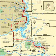
Native American Scenic Byway, South Dakota...
449 miles away

Glen Arbor MI Map
449 miles away

South Manitou Island Map
449 miles away
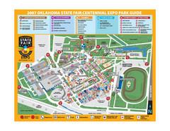
Oklahoma State Fair Park Map
Map of the Centennial Expo Park of the Oklahoma State Fair in The State Fair is spread out over...
450 miles away
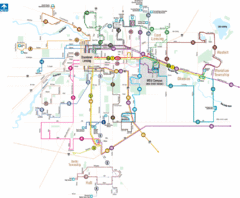
Lansing, Michigan Public Transportation Map
450 miles away
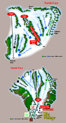
The Homestead Ski Trail Map
Trail map from The Homestead.
451 miles away

1859 Lansing Lower Town Bus District Map
451 miles away

1859 Lansing Middle Upper Bus District Map
451 miles away

Downtown Jackson Restaurant Map
Downtown Jackson restaurant map with many delicious locations!
451 miles away
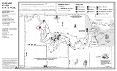
Buffalo River State Park Map
Map of park with detail of trails and recreation zones
451 miles away
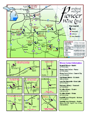
Pioneer Wine Trail Map
Tourist map of the Pioneer Wine Trail in Southeast Michigan. Shows wineries, vineyards, lodging and...
451 miles away
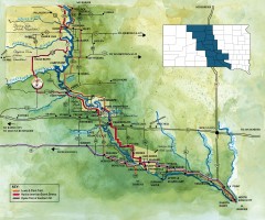
Great Lakes of South Dakota Map
Shows "the other Great Lakes" stretching along the Missouri River in South Dakota. Shows...
451 miles away

Sleeping Bear Dunes National Lakeshore Map
452 miles away
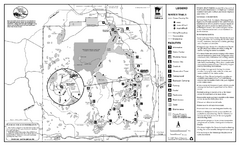
Itasca State Park Winter Map
Winter seasonal map of park with detail of trails and recreation zones
452 miles away
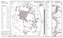
Itasca State Park Summer Map
Map of park with detail of trails and recreation zones
452 miles away
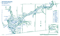
Lake Loramie State Park map
Detailed recreational map for Lake Loramie State Park in Ohio
453 miles away
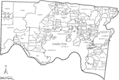
Hamilton, Ohio City Map
454 miles away
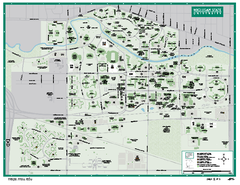
Michigan State University Map
Campus map of Michigan State University. All buildings shown.
454 miles away
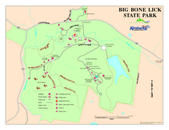
Big Bone Lick State Park Map
Map of trails and facilities for Big Bone Lick State Park.
455 miles away
Delta Heritage Trail State Park Map
Map of Arkansas Historical Delta Heritage Trail both completed and uncompleted sections.
456 miles away

