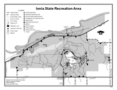
Ionia State Recreation Area, Michigan Site Map
426 miles away
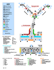
Louisville International Airport Terminal Map
Official Map of the Louisville International Airport. Shows all terminals and facilities.
426 miles away
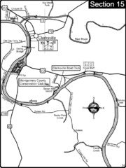
Clarksville, TN-Cumberland River Map
Cumberland River flows past Clarksville that has a great riverfront and services for traveling...
427 miles away
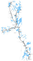
Paul Bunyan Trail Map
427 miles away
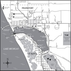
Frankfort-Elberta City Map
City map of Frankfort and Elberta, Michigan on shore of Lake Michigan.
428 miles away
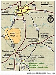
Louisville National Parks Map
National parks around Louisville.
428 miles away
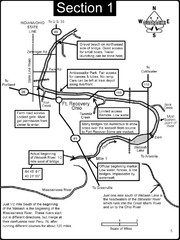
Fort Recovery, OH & beginning of the Wabash...
This is a page from the Wabash River Guidebook. The map shows important information for boaters and...
428 miles away
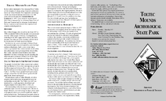
Toltec Mounds Archeological State Park Map
Map of the trails and earthworks sites of the Toltec Mounds Archeological State Park.
429 miles away
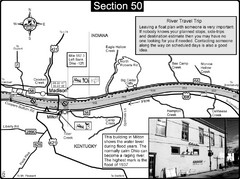
Ohio River at Madison, IN and Milton, KY Map
This is a page from the Ohio River Guidebook. The map shows important information for boaters and...
429 miles away
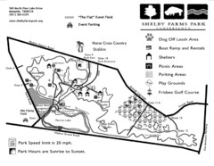
Shelby Farms Park Map
430 miles away
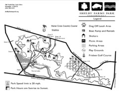
Shelby Farms Park Activities Areas Map
Visitor map of Shelby Farms Park. Shows parameters of dog areas, parking, play grounds, shelters...
431 miles away
Val Chatel Ski Trail Map
Trail map from Val Chatel, which provides downhill and nordic skiing. This ski area opened in 1953.
433 miles away
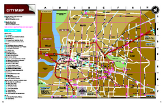
Memphis, Tennessee City Map
433 miles away
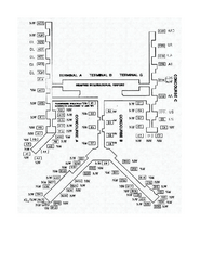
Memphis International Airport Terminal Map
Official Terminal Map of Memphis International Airport. Shows all terminals.
433 miles away
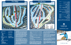
Crystal Mountain Ski Trail Map
Trail map from Crystal Mountain.
434 miles away
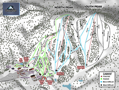
Caberfae Peaks Ski & Golf Resort Ski Trail Map
Trail map from Caberfae Peaks Ski & Golf Resort.
434 miles away
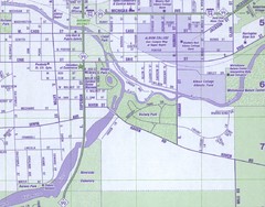
Albion City Map
City map of Albion, Michigan
434 miles away
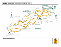
Lake Ouachita State Park Trail Map
Map of Caddo Bend Trail in Lake Ouachita State Park.
435 miles away
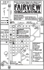
Fairview City Map
City map of Fairview with restaurants, government offices, medical services and hotels
437 miles away

Porcupine Mountain Ski Trail Map
Trail map from Porcupine Mountain.
437 miles away
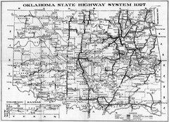
Oklahoma State Highway Map
Highway Map of Oklahoma State circa 1927. Includes all main roads and highways up to state...
438 miles away

Lookout Mountain Lookout Mt Ski Trail Map
Trail map from Lookout Mountain. This ski area opened in 1958.
438 miles away
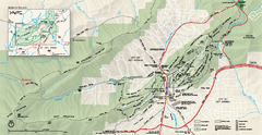
Hot Springs National Park map
Official NPS map of Hot Springs National Park in Hot Springs, Arkansas.
439 miles away
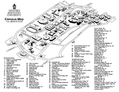
Western Kentucky University Map
Western Kentucky University Campus Map. All buildings shown
439 miles away
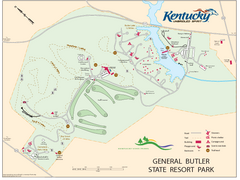
General Butler State Resort Park Map
Map of trails, facilities and golf course in General Butler State Resort Park.
440 miles away
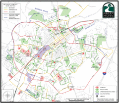
Bowling Green Biking Map
Map of biking trails in the city of Bowling Green area. Includes all streets, parks, some buildings...
440 miles away

Rock Island State Park Map
Tour around this beautiful state park.
441 miles away
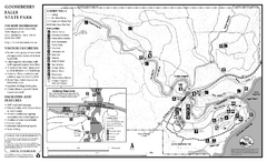
Gooseberry Falls State Park Map
Map of park with detail of trails and recreation zones
441 miles away
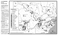
Gooseberry Falls State Park Winter Map
Winter season map of park with detail of trails and recreation zones
441 miles away
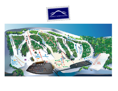
Perfect North Slopes Ski Trail Map
Trail map from Perfect North Slopes, which provides downhill, nordic, and terrain park skiing. It...
442 miles away
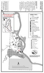
Schoolcraft State Park Map
map of park with detail of trails and recreation zones
442 miles away

Empire Michigan Map
442 miles away

Michigan Counties Map
443 miles away
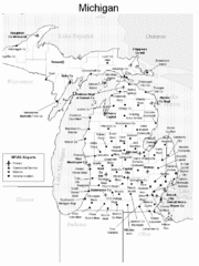
Michigan Airports Map
443 miles away
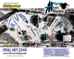
Mont Ripley Ski Trail Map
Trail map from Mont Ripley.
443 miles away
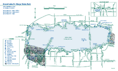
Grand Lake St. Marys State Park map
Detailed recreation map for Grand Lake St. Mary's State Park in Ohio
443 miles away


