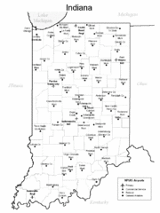
Indiana Airports Map
385 miles away
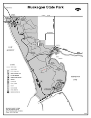
Muskegon State Park, Michigan Site Map
386 miles away
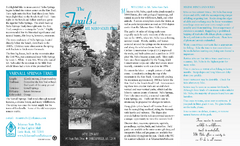
Mount Nebo State Park Trail Map
Trail Map of Mount Nebo State Park showing hiking trails and park amenities.
386 miles away
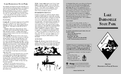
Lake Dardanelle State Park Map
Map of Lake Dardanelle State Park showing park sites, trails and amenities.
386 miles away
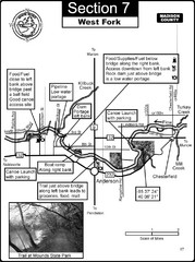
Anderson, IN & Mounds State Park Wabash River...
This is a page from the White River Guidebook. The map shows important information for boaters and...
386 miles away
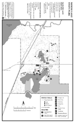
Moose Lake State Park Winter Map
Winter seasonal map of park with detail of trails and recreation zones
386 miles away
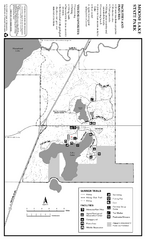
Moose Lake State Park Summer Map
Summer seasonal map of park with detail of trails and recreation zones
386 miles away
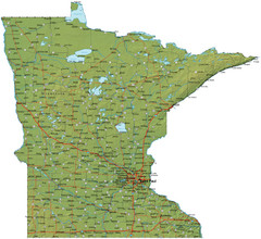
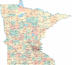
Minnesota Road Map
Minnesota road map with relief
387 miles away
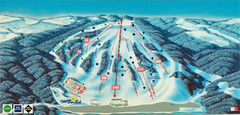
Bittersweet Ski Area Ski Trail Map
Trail map from Bittersweet Ski Area.
387 miles away
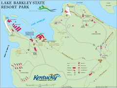
Lake Barkley State Resort Park Map
Map of the trails and facilities of Lake Barkley State Resort Park.
387 miles away
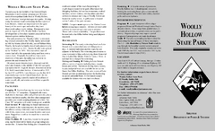
Woolly Hollow State Park Map
Map of Woolly Hollow State Park showing hiking trails and park amenities.
387 miles away
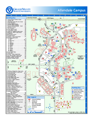
Grand Valley State University Map
Grand Valley State University Campus Map. All areas shown.
387 miles away
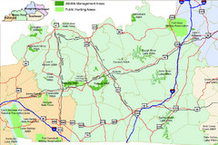
Green River Area Hunting Map
Map marking highways, forests, parks and hunting zones in Kentucky's beautiful Green River...
388 miles away
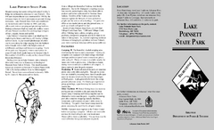
Lake Poinsett State Park Map
Map of Lake Poinsett State Park showing Great Blue Heron Trail , boat ramps and park amenities.
388 miles away
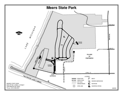
Mears State Park, Michigan Site Map
388 miles away

Indiana Road Map
389 miles away
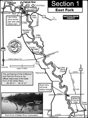
Columbus, IN White River East Fork Map
This is a page from the White River Guidebook. The map shows important information for boaters and...
390 miles away

Clay Banks, Wisconsin Survey Project Map
390 miles away
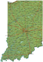
Detailed Indiana Road Map
391 miles away

Western Michigan University Campus Map
Parkview Campus
391 miles away
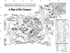
Western Michigan University Map
Western Michigan University Campus Map. All areas shown.
392 miles away
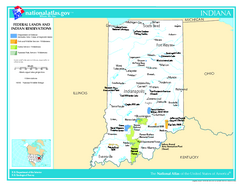
Indiana - Federal Lands and Indian Reservations...
The National Atlas of the United States of America, U.S. Geological Survey, 2003
392 miles away
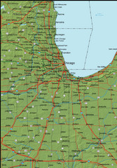
Detailed Indiana Area Road Map
392 miles away

Potawatomi State Park Map
State Park map with marked trails and sites.
392 miles away
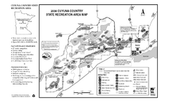
Cuyuna Country State Recreation Area Map
Map of park with detail of trails and recreation zones
392 miles away
Chain O' Lakes State Park, Indiana Site Map
394 miles away
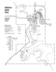
Pattison State Park Map
Great trails for a wonderfully relaxing summer vacation.
395 miles away
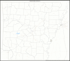
Arkansas Zip Code Map
Check out this Zip code map and every other state and county zip code map zipcodeguy.com.
396 miles away
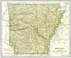
Old Arkansas Map
Old 1892 historical map in great condition.
396 miles away
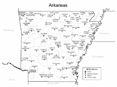
Arkansas Airports Map
396 miles away
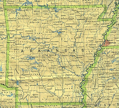
Arkansas County Map
Arkansas divided into counties
396 miles away
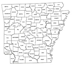
Arkansas Historical County Map
Historical County Map of Arkansas from 1936
396 miles away
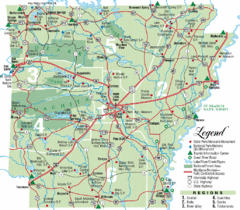
Arkansas State Park Map
Map highlights Arkansas State Parks and tourist areas including towns and major roads.
396 miles away
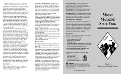
Mount Magazine State Park Map
Map of Mount Magazine State Park showing hiking trails and amenities.
396 miles away
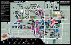
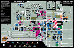
Oklahoma State University Map
Oklahoma State University Campus Map. All buildings shown.
397 miles away
Oklahoma State University Map
397 miles away
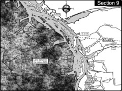
Lake Barkley-Cumberland River Map
Portion of Lake Barkley formed on the Cumberland River. In this section the state line is shown...
397 miles away

Central Kentucky Trail Map
397 miles away
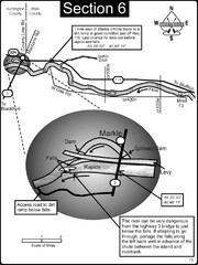
Markle, IN Wabash River rapids Map
This is a page from the Wabash River Guidebook. The map shows important information for boaters and...
397 miles away

