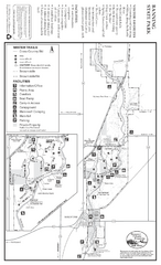
Banning State Park Winter Map
Map of park with detail of trails and recreation zones
368 miles away
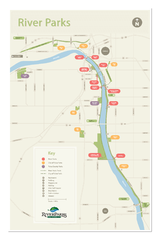
Tulsa Riverparks Map
368 miles away
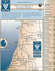
Lake Michigan Shore Wine Trail Map
Lake Michigan Shore Wine Trail map. Shows vineyards and wineries in the area.
368 miles away
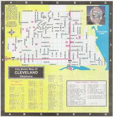
Cleveland Street Map
368 miles away
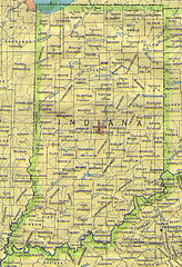
Indiana Map
369 miles away
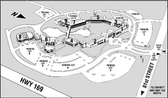
Tulsa Community College - Southeast Campus Map
Tulsa Community College - Southeast Campus Map. All buildings shown.
369 miles away
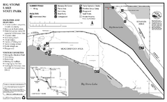
Big Stone Lake State Park Map
Map of park with detail of trails and recreation zones
369 miles away
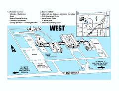
Tulsa Community College - West Campus Map
Tulsa Community College - West Campus Map. All buildings shown.
370 miles away

Andes Tower Hills Ski Trail Map
Trail map from Andes Tower Hills.
371 miles away
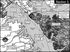
Kentucky Lake Tennesssee River-Land Between the...
This is the upper end of Kentucky Lake which is the Tennessee River. The map is designed for...
371 miles away
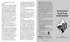
Jacksonport State Park Map
Map of Jacksonport State Park showing historical sites, trails, amenities and river access.
371 miles away
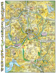
Brown County, Tennessee Tourist Map
371 miles away
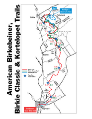
Birkebeiner Cross Country Ski Race Map
Guide to the Birkebeiner Cross Country Ski Race in Wisconsin
372 miles away
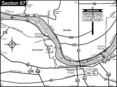
Ohio River at Owensboro, Kentucky Map
This is a page from the Ohio River Guidebook. The map shows important information for boaters and...
372 miles away
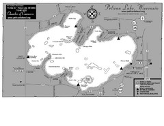
Pelican Lake Map
Lake map of Pelican Lake, Wisconsin. 3585 acres.
372 miles away

Map of Armenia and Nagorny Karabakh
Map of Armenian states - the Republic of Armenia and the Nagorno-Karabakh Republic
373 miles away
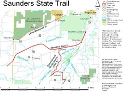
Saunders State Trail Map
Points of interest, lakes, roads, forests and more are marked on this map's key.
373 miles away
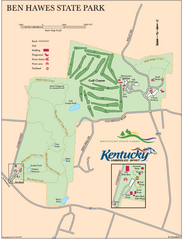
Ben Hawes State Park Map
Map of trails, facilities and golf course in Ben Hawes State Park.
373 miles away
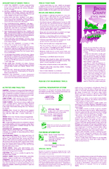
Brown County State Park, Indiana Site Map
374 miles away
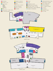
Arkansas International Airport Map
375 miles away
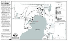
Lake Carlos State Park Winter Map
Winter seasonal map of park with detail of trails and recreation zones
375 miles away
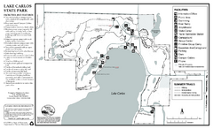
Lake Carlos State Park Summer Map
Summer seasonal map of park with detail of trails and recreation zones
375 miles away

Lake Michigan Depths Map
376 miles away
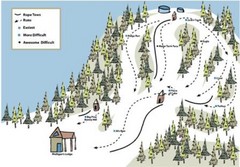
Mulligan’s Hollow Ski Bowl Ski Trail Map
Trail map from Mulligan’s Hollow Ski Bowl.
376 miles away
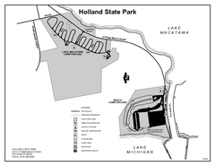
Holland State Park, Michigan Site Map
376 miles away
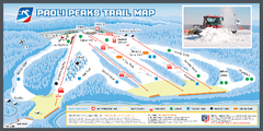
Paoli Peaks Ski Trail Map
Trail map from Paoli Peaks, which provides downhill, night, and terrain park skiing. It has 8 lifts...
377 miles away
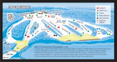
Paoli Peaks Ski Trail Map
Official ski trail map of Paoli Peaks ski area from the 2007-2008 season.
377 miles away
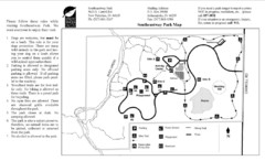
Southeastway Park Map
377 miles away
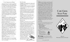
Cane Creek State Park Map
Cane Creek State Park Detail Map showing amenities, camp sites, and lake.
378 miles away
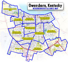
Owensboro, Kentucky City Map
378 miles away
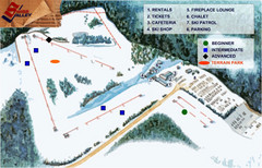
Swiss Valley Ski Lodge Ski Trail Map
Trail map from Swiss Valley Ski Lodge.
379 miles away
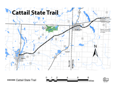
Cat Tail State Trail Map
Map marking trails, bike routes, shelter, toilets and more.
380 miles away
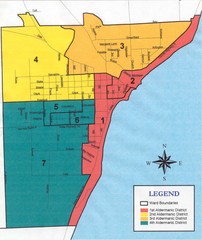
Algoma City Map
City map of Algoma with Aldermanic Districts
380 miles away
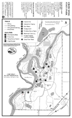
Crow Wing State Park Map
Map of park with detail of trails and recreation zones
381 miles away
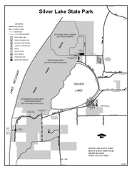
Silver Lake State Park, Michigan Site Map
382 miles away
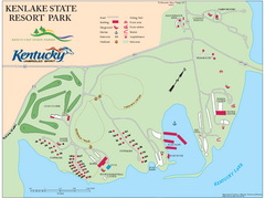
KenLake State Resort Park Map
Map of trails, facilities, and golf course for the KenLake State Resort Park located on the mid...
382 miles away
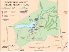
Pennyrile State Resort Park map
Recreation map for Pennyrile Forest State Park in Kentucky
383 miles away
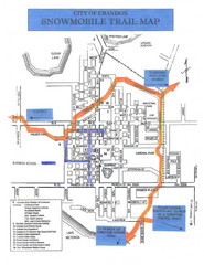
Crandon Snowmobile Trail Map
Snowmobile trail map of Crandon, Wisconsin on Lake Menlonga.
383 miles away
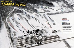
Timber Ridge Ski Area Ski Trail Map
Trail map from Timber Ridge Ski Area.
384 miles away
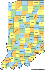
Indiana Counties Map
385 miles away

