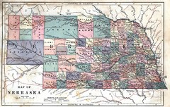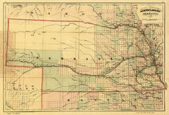
1874 Nebraska Railroad Map
Road Map and Guide to Railroads in Nebraska, used for settlers
357 miles away
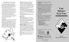
Lake Frierson State Park Map
Map of Lake Frierson State Park showing trails, boating and fishing areas and amenities.
358 miles away
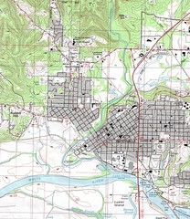
Batesville City Map
Topographic city map of Batesville, Arkansas
358 miles away
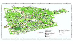
Indiana University - Bloomington Map
Campus map of Indiana University at Bloomington. All buildings shown.
358 miles away
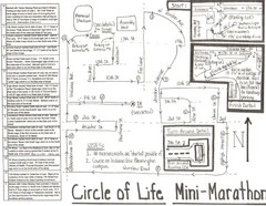
Circle of Life Mini-Marathon Map
Detailed Hand-Drawn Course for Circle of Life Mini-Marathon Map
359 miles away
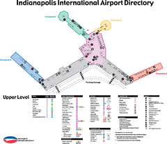
Indianapolis International Airport Terminal Map
Official map of Indianapolis International Airport. Shows all Upper Level Terminals.
359 miles away
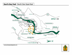
Devil's Den State Park Trail Map
Several trails marked on map for Devil's Den State Park.
359 miles away
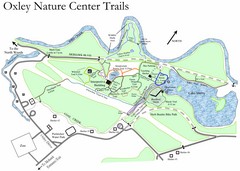
Oxley Nature Center Map
Trail map of nature center
359 miles away
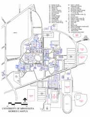
University of Minnesota Morris Campus Map
University of Minnesota Morris Campus map. Description off all buildings, streets and parking lots...
360 miles away
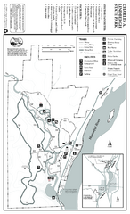
Charles A. Lindbergh State Park Map
Map of park with detail of trails and recreation zones
360 miles away
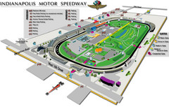
Indianapolis Motor Speedway Map
360 miles away
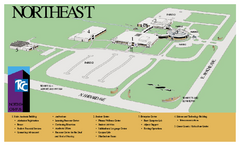
Tulsa Community College - Northeast Campus Map
Tulsa Community College - Northeast Campus Map. All buildings shown.
362 miles away
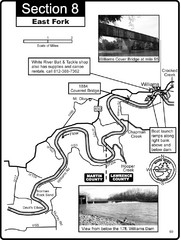
Williams, IN White River East Fork Map
This is a page from the White River Guidebook. The map shows important information for boaters and...
362 miles away
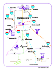
Indy Wine Trail Map
Map of the Indy Wine Trail of the Indianapolis area in Indiana. Shows wineries in the area.
362 miles away
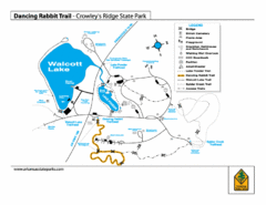
Dancing Rabbit Trail - Crowley's Ridge State...
Trail Map for Dancing Rabbit Trail in Crowley's Ridge State Park showing Walcott Lake, hiking...
362 miles away
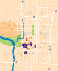
Indianapolis Center Map
Map of Indianapolis downtown center
363 miles away

18th Century United States Map
363 miles away
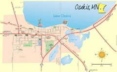
Osakis City Map
A quaint city on the shore of a beautiful lake.
364 miles away
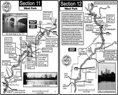
Indianapolis, IN White River West Fork Map
This is a page from the White River Guidebook. The map shows important information for boaters and...
364 miles away
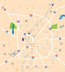
Indianapolis Map
Map of Indianapolis are
365 miles away
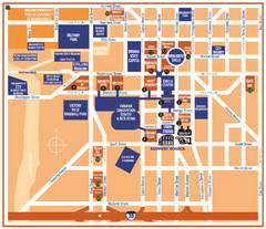
Downtown Indianapolis Map
365 miles away
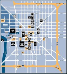
Indianapolis Tourist Map
365 miles away
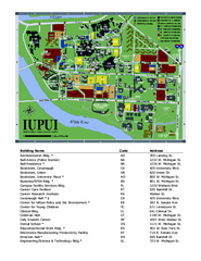
Indiana University Purdue University Indianapolis...
Campus Map of Indiana University Purdue University Indianapolis. All areas shown.
365 miles away
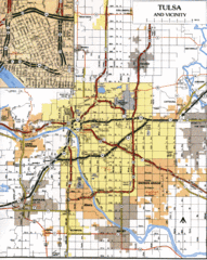
Tulsa, Oklahoma Tourist Map
365 miles away
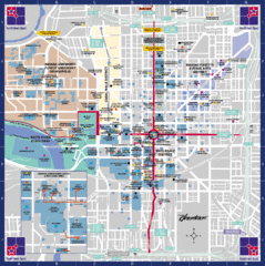
Downtown Indianapolis Map
This large map of downtown Indianapolis.
365 miles away
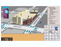
Tulsa Community College - Metro Campus Map
Tulsa Community College - Metro Campus Map. All buildings shown.
366 miles away
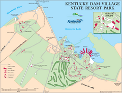
Kentucky Dam Village State Resort Park Map
Map of golf course and facilities for Kentucky Dam Village State Resort Park, one of three state...
366 miles away
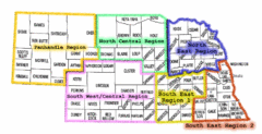
Nebraska Regions Map
366 miles away
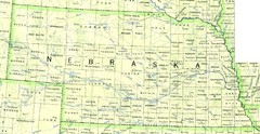
Nebraska Counties and Rivers Map
366 miles away
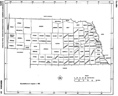
Nebraska Counties Map
366 miles away
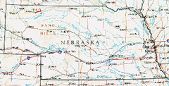
Nebraska Atlas Reference Map
366 miles away
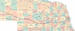
Nebraska Road Map
366 miles away
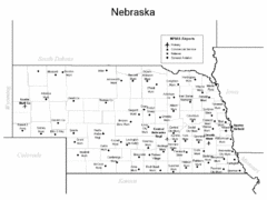
Nebraska Airports Map
366 miles away
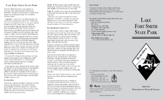
Lake Fort Smith State Park Map
Map of Lake Fort Smith State Park showing visitor center and park amenities.
366 miles away

Tulsa, Oklahoma City Map
366 miles away

Father Hennepin State Park Map
Map of park with detail of trails and recreation zones
367 miles away
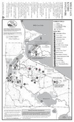
Mile Lacs Kathio State Park Summer Map
Summer seasonal map of park with detail of trails and recreation zones
367 miles away

Mile Lacs Kathio State Park Winter Map
Winter seasonal map of park with detail of trails and recreation zones
367 miles away
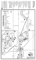
Banning State Park Summer Map
Map of park with detail of trails and recreation zones
367 miles away

