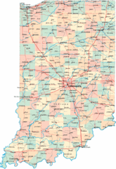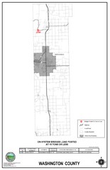
School Bus Route Map
330 miles away
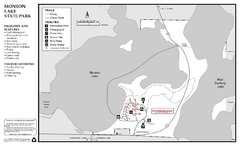
Monson Lake State Park Map
Map of park with detail of trails and recreation zones
330 miles away
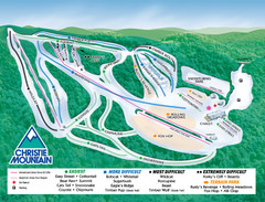
Christie Mountain Ski Area Ski Trail Map
Trail map from Christie Mountain Ski Area.
331 miles away
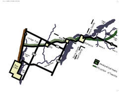
Tuscobia Map
Lakes and trails are easy to follow on this map.
331 miles away
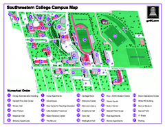
Southwestern College Campus Map
Southwestern College Campus Map. Shows all buildings.
331 miles away
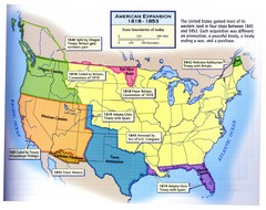
American Expansion 1818-1853 Map
Shows the four major steps through which the US gained most of it's western land between 1818...
332 miles away
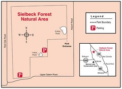
Sielbeck Forest, Illinois Site Map
332 miles away
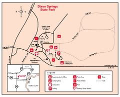
Dixon Springs State Park, Illinois Site Map
332 miles away

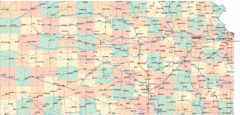
Kansas Map Circa 1910
333 miles away
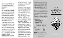
Old Davidsonville State Park Map
Map of Old Davidsonville State Park historical sites, amenites and other park sites.
335 miles away
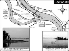
Ohio River at Cairo, IL and the Mississippi River...
The Ohio River ends at it's confluence with the Mississippi River at mile 981. This is a page...
336 miles away
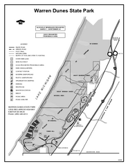
Warren Dunes State Park, Michigan Site Map
337 miles away
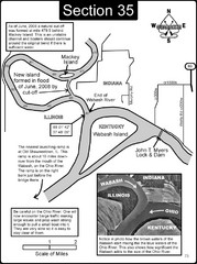
Mount Vernon, IN Wabash River & Ohio River Map
This is a page from the Wabash River Guidebook. The map shows important information for boaters and...
337 miles away
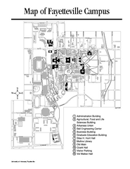
University of Arkansas Map
Campus Map of the University of Arkansas. All buildings shown.
338 miles away
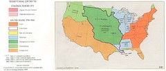
Territorial Expansion in Eastern United States...
339 miles away
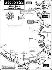
Petersburg, IN White River West Fork Map
This is a page from the White River Guidebook. The map shows important information for boaters and...
341 miles away
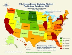
United States Travel Time to Work Statistical Map
343 miles away
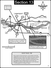
Logansport, IN Wabash River & Eel River Map
This is a page from the Wabash River Guidebook. The map shows important information for boaters and...
344 miles away
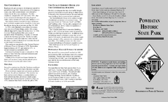
Powhatan Historic State Park Map
Map of the historic buildings of Powhatan State Park.
345 miles away
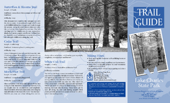
Lake Charles State Park Trail Map
Map of trails for Lake Charles State Park including othe park sites and amenities.
345 miles away
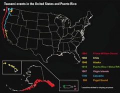
US Tsunami Events Map
Shows tsunami events in the US and Puerto Rico from 900 to 1964. Map not to scale. This map shows...
347 miles away
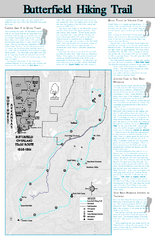
Butterfield Hiking Trail - Devil's Den State...
Butterfield Hiking Trail in Devil's Den State Park detail trail and special points of interest.
347 miles away
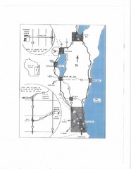
Eastern Wisconsin Map
348 miles away
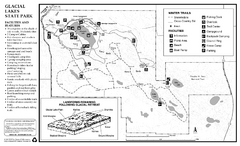
Glacial Lakes State Park Winter Map
Map of park with detail of trails and recreation zones
349 miles away
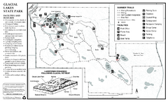
Glacial Lakes State Park Map
Map of park with detail of trails and recreation zones
349 miles away
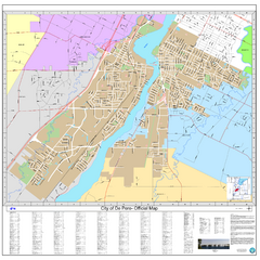
De Pere City Map
Official street map of city of De Pere, Wisconsin
349 miles away
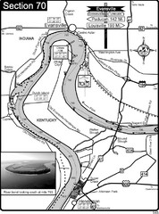
Ohio River at Evansville, IN and Henderson, KY Map
This is a page from the Ohio River Guidebook. The map shows important information for boaters and...
350 miles away
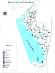
West Boggs Park Map
351 miles away

Watertown City Parks Map
City parks map of Watertown, South Dakota. Shows 35 parks.
351 miles away
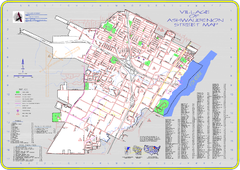
Ashwaubenon Street Map
352 miles away
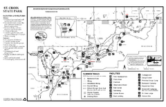
St. Croixs State Park Summer Map
Summer seasonal map of park with detail of trails and recreation zones
353 miles away
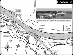
Ohio River & Tennessee River at Paducah, KY...
This is a page from the Ohio River Guidebook. The map shows important information for boaters and...
353 miles away
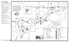
St. Croixs State Park Winter Map
Winter seasonal map of park with detail of trails and recreation zones
353 miles away
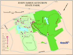
John James Audubon State Park Map
Map of trails, facilities and historical sites in John James Audubon State Park.
354 miles away
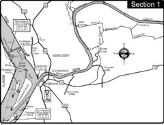
Smithland, KY Cumberland & Ohio Rivers Map
This is the mouth (end) of the Cumberland River as it pours into the Ohio River after flowing 695...
354 miles away
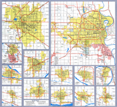
Nebraska City Road Maps Map
Shows roads/highways in 13 Nebraska cities.
354 miles away
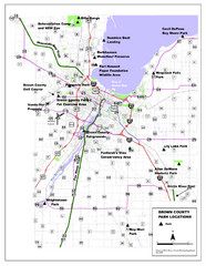
Brown County Parks Map
Shows locations of all parks in Brown County, Wisconsin
355 miles away
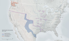
United States, Westward Expansion Map
357 miles away

