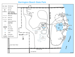
Harrington Beach State Park Map
Trails around Harington Beach State Park.
320 miles away

Disc Golf Courses Map
Disc Golf Courses in and near the contiguous United States as of 1/1/2011, according to Disc Golf...
320 miles away

Wild Mountain Ski Area Ski Trail Map
Trail map from Wild Mountain Ski Area, which provides downhill, night, and terrain park skiing. It...
320 miles away
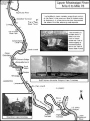
Upper Mississippi River Mile 0 to Mile 78 Map
Historical Map from book "Mississippi River-Historical Sites and Interesting Places
321 miles away
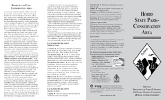
Hobbs State Park Map
Map of Hobbs State Park Conservation Area showing trail heads, roads, places of interests and...
321 miles away
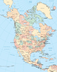
North America Map
Political map of North America. Shows states in US and provinces in Canada
321 miles away
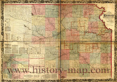
Kansas Railroad Map 1867
Here for your perusal is a sectional map of the state of Kansas showing the route of the Union...
321 miles away
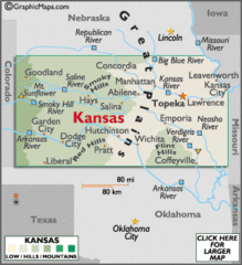
Kansas Elevations Map
321 miles away
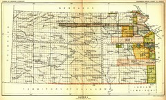
Kansas Native American Territories 1866-1867 Map
489., 492 Cherokee, 19 Jul 1866 (on Indian Territory Map 22, Kansas, Map 27) 495. Sauk and Fox of...
321 miles away
Kansas Zip Code Map
Check out this Zip code map and every other state and county zip code map zipcodeguy.com.
321 miles away
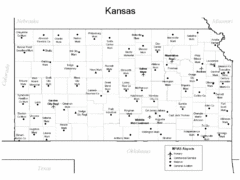
Kansas Airports Map
321 miles away
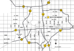
Wichita, Kansas City Map
322 miles away
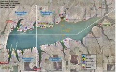
Winfield City Lake Map
Recreation map of Winfield City Lake in Winfield, Kansas. Named Timber Creek Lake. Shows camping...
322 miles away
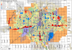
Wichita Functional Land Use Guide Map
Development map for future land use by 2030
323 miles away
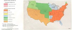
Territorial Expansion in Eastern United States...
323 miles away
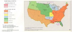
Territorial Expansion in Eastern United States...
323 miles away
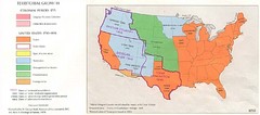
Territorial Expansion in Eastern United States...
323 miles away
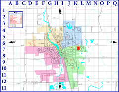
Medford City Map
City map of Medford, Wisconsin. Shows public buildings and districts.
323 miles away
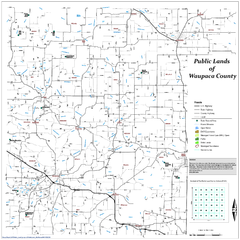
Public Lands of Waupaca County Map
324 miles away
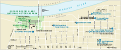
George Rogers Clark National Historical Park...
Official NPS map of George Rogers Clark National Historical Park in Indiana. Map shows all areas...
324 miles away
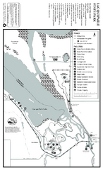
Lac Qui Parle State Park Map
Map of park with detail of trails and recreation zones
325 miles away

Vicennes and Knox County Indiana Visitor Map
Street map of Vicennes with maps of the entire state and county as well.
325 miles away
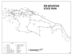
Rib Mountain State Park Map
Simple state park map with nice hiking trails.
325 miles away
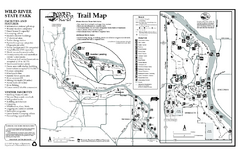
Wild River State Park Map
map of park with detail of trails and recreation zones
325 miles away

Granite Peak Ski Trail Map
Trail map from Granite Peak.
325 miles away
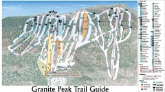
Granite Peak Ski Trail Map
Official ski trail map of Granite Peak ski area from the 2004-2005 season.
326 miles away
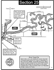
Mount Carmel, IL White River & Wabash River...
This is a page from the White River Guidebook. The map shows important information for boaters and...
326 miles away
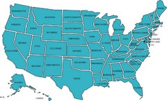
United States Map
326 miles away
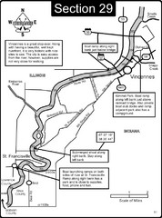
Vincennes, IN/ St. Francisville, IL Wabash River...
This is a page from the Wabash River Guidebook. The map shows important information for boaters and...
326 miles away
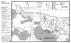
Sibley State Park Winter Map
Winter seasonal map of park with detail of trails and recreation zones
327 miles away
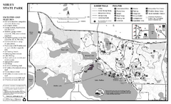
Sibley State Park Summer Map
map of park with detail of trails and recreation zones
327 miles away
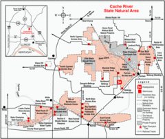
Cache River, Illinois Site Map
327 miles away

Wabash and Erie Canal Park Map
Trails at the Wabash and Erie Canal Park
328 miles away
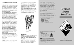
Withrow Springs State Park Map
Map for Withrow Springs State Park showing hiking trails and park amenities.
328 miles away
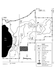
Pike Lake Map
Detailed trail map of area surrounding Pike Lake.
328 miles away
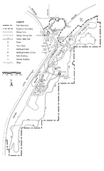
High Cliff Park Map
High quality map with easy to read trails and routes.
328 miles away

Downtown Appleton Map
329 miles away
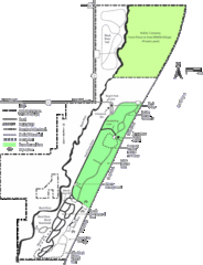
Kohler-Andrae State Park Map
trail, walk, water, nature, tourism, vacation, fun, adventure, journey,
329 miles away
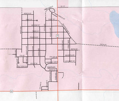
Clear Lake City Map
City map of Clear Lake, South Dakota with landmarks
330 miles away

