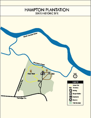
Hampton Plantation State Park Map
Clear and easy to read map.
113 miles away
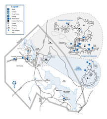
Hard Labor Creek State Park Map
Map of park with detail of trails and recreation zones
115 miles away
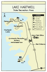
Lake Hartwell State Park Map
Clear state park map.
115 miles away
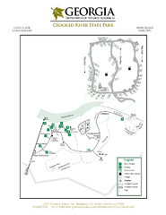
Crooked River State Park Map
Map of park with detail of trails and recreation zones
117 miles away
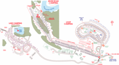
Suwanee Park Camping Map
118 miles away
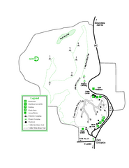
Providence Canyon State Park Map
Map of park with detail of trails and recreation zones
119 miles away
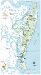
Cumberland Island Map
Map of Cumberland Island, including hiking trails and campgrounds
121 miles away
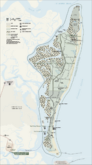
Cumberland Island National Seashore Map
Official NPS map of Cumberland Island National Seashore, Cumberland Island, Georgia. Rated #4...
121 miles away
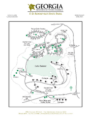
F.D. Roosevelt State Park Map
Map of park with detail of trails and recreation zones
121 miles away
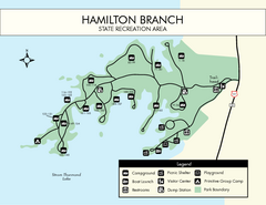
Hamilton Branch State Park Map
Simple state park map.
121 miles away
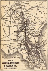
1913 Georgia Southern & Florida Railway Map
122 miles away
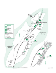
Stephen C. Foster State Park Map
Map of park with detail of trails and recreation zones
122 miles away
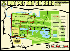
Hilton Head Run for Ret 5K Race Course Map
Hilton Head Island Run for Ret 5K Race Course, Aug 30, 2008.
124 miles away
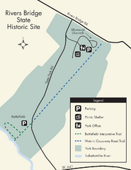
Rivers Bridge State Park Map
Nice and clear map of this history state park.
124 miles away
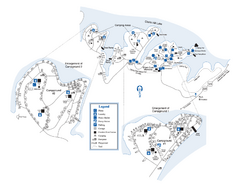
Elijah Clark State Park Map
Map of park with detail of trails and recreation zones
125 miles away
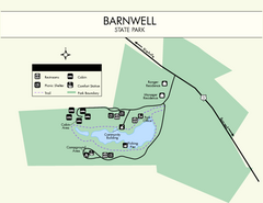
Barnwell State Park Map
Simple map of this state park.
126 miles away
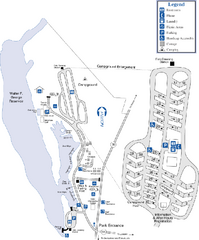
Florence Marina State Park Map
Map of park with detail of trails and recreation zones
126 miles away
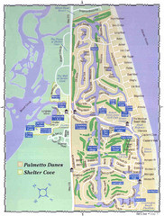
Palmetto Dunes Map
127 miles away
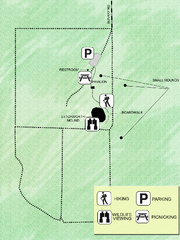
Letchworth-Love Mounds Map
Map of park with detail of trails and recreation zones
127 miles away
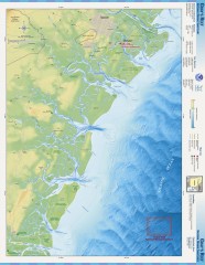
Gray's Reef National Marine Sanctuary Map
Gray's Reef National Marine Sanctuary , designated in January 1981, is one of the largest near...
127 miles away
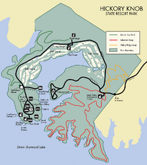
Hickory Knob State Park Map
Detailed map of this beautiful state park.
127 miles away
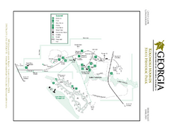
Kolomoki Mounds State Park Map
Map of park with detail of trails and recreation zones
127 miles away
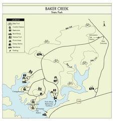
Baker Creek State Park Map
Beautiful park with wonderful views and plenty of wild life.
128 miles away

University of Georgia and Surrounding Area Map
129 miles away
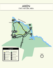
Aiken State Park Map
Small and simple state park map.
130 miles away
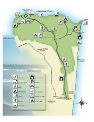
Fort Clinch State Park Map
Park map of Fort Clinch State Park in Amelia Island, Florida. Shows fort historic site, facilities...
130 miles away

Panola Mountain State Park Map
Map of park with detail of trails and recreation zones
130 miles away
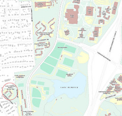
Brandon Town Map
Town of Brandon and University of Georgia Campus
130 miles away
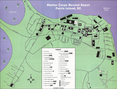
Parris Island Marine Corps Recruit Depot Map
Map of the Parris Island Marine Corps Recruit Depot near Beaufort, South Carolina. Shows...
130 miles away
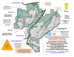
Davidson-Arabia Mountain Nature Preserve Map
Davidson-Arabia Mountain Nature Preserve is comprised of 570 acres of granite outcrop, wetlands...
130 miles away

Athens Airport Lines Map
131 miles away
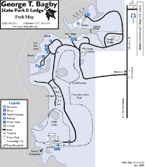
George T. Bagby State Park Map
Map of park with detail of trails and recreation zones
131 miles away
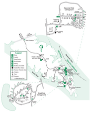
Bobby Brown State Park Map
Map of park with detail of trails and recreation zones
131 miles away

Athens, Georgia City Map
132 miles away
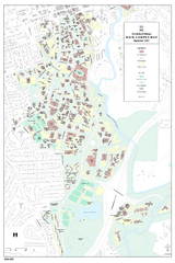
University of Georgia Map
Campus map of the University of Georgia. All buildings shown.
132 miles away
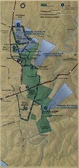
Antietam National Battelfield Map
133 miles away
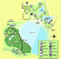
Alfred B. Maclay Gardens State Park Map
Map of park with detail of trails and recreation zones
135 miles away
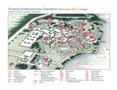
Florida International University at Biscayne...
136 miles away
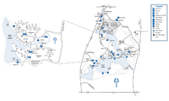
Fort Yargo State Park Map
Map of park with detail of trails and recreation zones
138 miles away
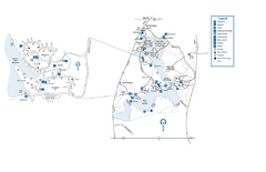
Fort Yargo State Park map
Detailed recreation and camping map for Fort Yargo State Park in Georgia
139 miles away

