
Laguna Seca Raceway Map
Overview map of the Laguna Seca Raceway. Shows track, parking, and facilities.
76 miles away
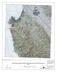
Monterey Peninsula and Carmel River Watershed...
This map contains a digital raster graphic topographic base map of the Monterey Peninsula Water...
77 miles away
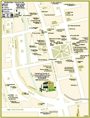
Downtown Healdsburg, California Map
Tourist maps of downtown Healdsburg, California. First map shows restaurants, galleries, wine...
78 miles away
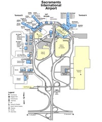
Sacramento International Airport Map
79 miles away
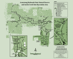
Armstrong Redwoods State Natural Reserve Map and...
Park map of Armstrong Redwoods State Natural Reserve and Austin Creek State Recreation Area in...
80 miles away
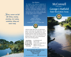
McConnell State Recreation Area Map
Map of park with detail of trails and recreation zones
80 miles away
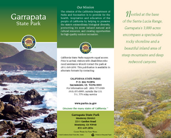
Garrapata State Park Map
Map of park with detail of trails and recreation zones
82 miles away
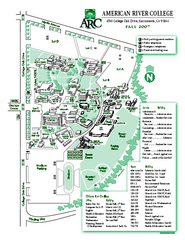
American River College Campus Map
American River College Campus Map. Shows all buildings.
83 miles away
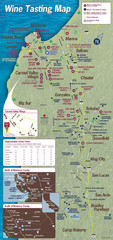
Monterey area wineries map
Map of wineries with public tasting rooms in the Monterey area
83 miles away
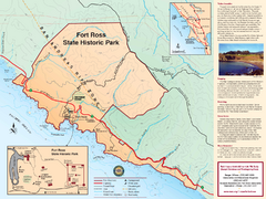
Fort Ross State Historic Park Map
Map of park with detail of trails and recreation zones
85 miles away
Fort Ross State Historic Park Map
Map of park with detail of trails and recreation zones
85 miles away
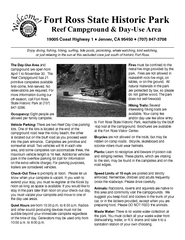
Fort Ross State Historic Park Campground Map
Map of park with detail of trails and recreation zones
85 miles away

Turlock Lake State Recreation Area Campground Map
Map of campground region of recreation area with detail of trails and recreation zones
86 miles away
Turlock Lake State Recreation Area Map
Map of recreation area with detail of trails and recreation zones
86 miles away
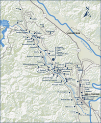
Dry Creek Valley Wineries, California Map
Map of wineries in Dry Creek Valley, California. Shows wineries and roads.
86 miles away
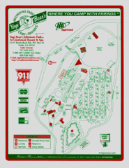
Jellystone Park at Glebrook Resort & Spa Map
90 miles away
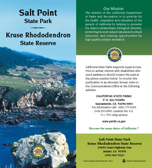
Salt Point State Park Map
Map of park with detail of trails and recreation zones
90 miles away
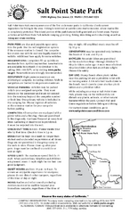
Salt Point State Park Campground Map
Map of campground region of park with detail of trails and recreation zones
90 miles away
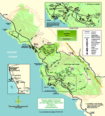
Salt Point State Park Map
Topo park map of Salt Point State Park and Kruse Rhododendron State Reserve. Shows trails by use...
92 miles away
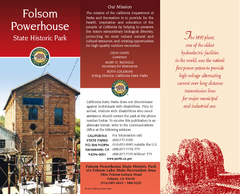
Folsom Powerhouse State Historic Park Map
Map of park with detail of trails and recreation zones
92 miles away
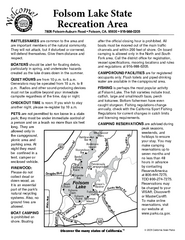
Folsom Lake State Recreation Area Campground Map
Map of park with detail of trails and recreation zones
92 miles away
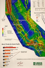
California Faults and Earthquake Probablity...
The Uniform California Earthquake Rupture Forecast map hangs at a press conference where...
95 miles away
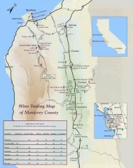
Wine tasting map of Monterey County
Wine tasting map of Monterey County, California, showing vineyards, wineries, and approximate drive...
95 miles away
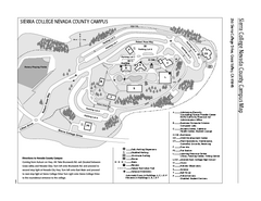
Sierra College Campus Map
Sierra College Campus Map. All buildings shown.
95 miles away

Mi-Wok OHV Trail Map
Trail Maps for Off Road Bikes in Stanislaus National Forest
95 miles away

Montery Bay Sea Floor Map
96 miles away
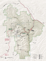
Pinnacles National Monument Map
96 miles away
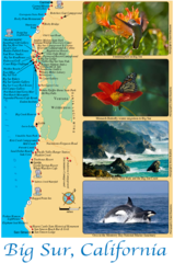
Big Sur Map
Tourist map of Highway 1 area near Big Sur, California
98 miles away
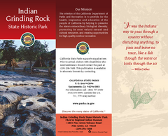
Indian Grinding Rock State Historic Park Map
Map of park with detail of trails and recreation zones
98 miles away
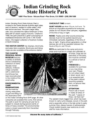
Indian Grinding Rock State Historic Park...
Map of campground region of park with detail of trails and recreation zones
99 miles away
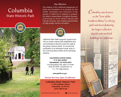
Columbia State Historic Park Map
Map of park with detail of trails and recreation zones
100 miles away
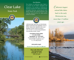
Clear Lake State Park Map
Map of park with detail of trails and recreation zones
101 miles away
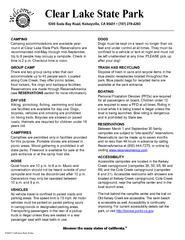
Clear Lake State Park Campground Map
Map of park with detail of trails and recreation zones
101 miles away
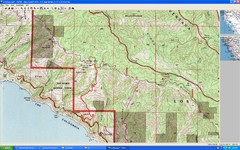
Timber Top, Big Sur Map
Route we climbed to Timber Top in Big Sur. Very steep trail.
102 miles away
Auburn State Recreation Area Map
Map of park with detail of of trails and recreation zones
109 miles away
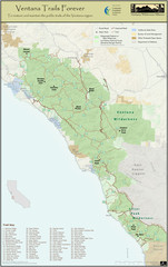
Ventana Wilderness Trails Map
Trail map of the Ventana Wilderness east of Big Sur. Also shows trails in the Silver Peak...
111 miles away
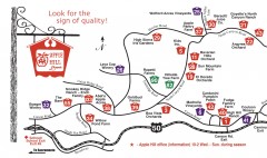
Apple Hill tourist map
Map of Apple Hill growers in Camino, California. Shows vineyards and orchards.
111 miles away
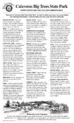
Calaveras Big Trees State Park Map
Map of park with detail of trails and recreation zones
112 miles away
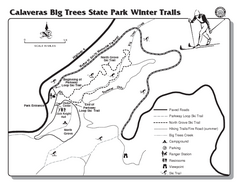
Calaveras Big Trees State Park Winter Map
Map of park with detail of winter ski trails and recreation zones
112 miles away


