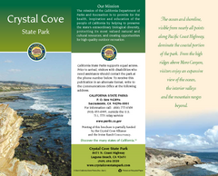
Crystal Cove State Park Map
Map of park with detail of trails and recreation zones
371 miles away

California Citrus State Park Map
Map of park with detail of trails and recreation zones
371 miles away
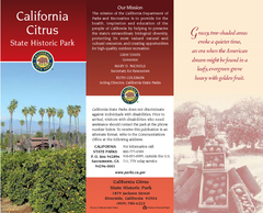
California Citrus State Park Map
Zoom map of park with detail of trails and recreation zones
371 miles away
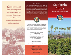
California Citrus State Park Map
Overview map of park with detail of trails and recreation zones
371 miles away

Lake mathews geologic map
372 miles away
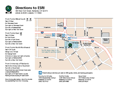
ESRI Campus Map
372 miles away

Limestone Canyon & Whiting Ranch Wilderness...
373 miles away
Laguna Beach Tourist Map
375 miles away
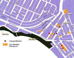
Downtown Laguna Beach Tourist Map
375 miles away
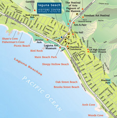
Laguna Beach Tourist Map
375 miles away
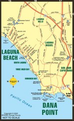
Laguna Beach Tourist Map
375 miles away
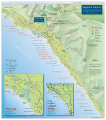
Laguna Beach Tourist Map
375 miles away
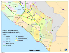
Orange County Map
375 miles away

Snow Summit Ski Trail Map
Official ski trail map of Snow Summit ski area from the 2004-2005 season.
378 miles away
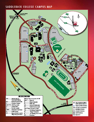
Saddleback College Map
379 miles away
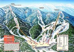
Bear Mountain Ski Trail Map
Official ski trail map of Bear Mountain ski area
379 miles away

General Thomas F. Riley Wilderness Park Map
380 miles away
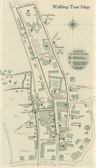
San Juan Capistrano walking tour Map
Architectural walking tour map of San Juan Capistrano, California.
382 miles away
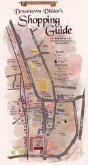
San Juan Capistrano Shopping Center Guide Map
382 miles away
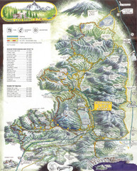
Diamond Lake Tourist Map
382 miles away
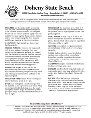
Doheny State Beach Campground Map
Map of beach and park with detail of trails and recreation zones
383 miles away
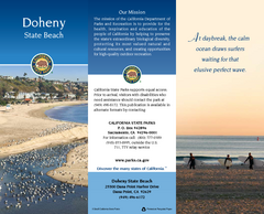
Doheny State Beach Map
Map of beach with detail of trails and recreation zones
383 miles away
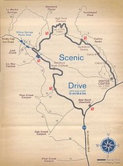
Red Rock Canyon Trail Map
Hiking trail map
384 miles away
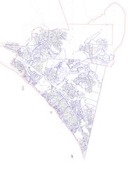
San Clemente Tract Map
Tract Map of San Clemente, California. Includes roads, buildings, highways and zip code zones.
387 miles away
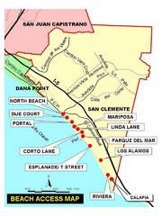
San Clemente Beach Map
387 miles away
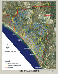
San Clemente Storm Drainage Map
Storm Drainage Map for San Clemente city. Includes color-coded zones of storm drain systems, major...
387 miles away
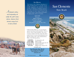
San Clemente State Beach Map
Map of beach and park with detail of trails and recreation zones
389 miles away
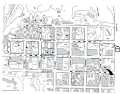
Myrtle Point walking tour Map
Walking tour map of the Historic homes of Myrtle Point in the Coquille Valley of Oregon.
390 miles away
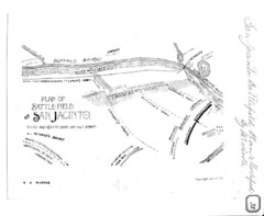
The Battle of San Jacinto, Texas Historical Map
394 miles away

Steens Mountain Topo Map
Topography map of the east side of Steens mountain in Oregon.
398 miles away
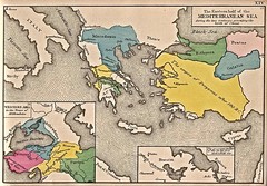
Historical Map of Mediterranean Sea B.C. 1884
"The Eastern half of the Mediterranean Sea during the two centuries preceeding the birth of...
398 miles away
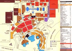
Las Vegas Tourist Map
398 miles away

Community College of Southern Nevada Map
Campus Area map of the Community College of Southern Nevada. The college is located on three main...
398 miles away
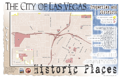
Las Vegas Historical Landmarks Map
400 miles away
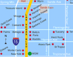
Las Vegas, South Strip Area Map
400 miles away
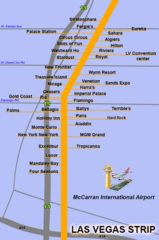
The LV Strip Map
This is a map of the Las Vegas Strip with the names of the hotels located around it.
400 miles away

Las Vegas Map
400 miles away

Station Casinos Las Vegas Map
400 miles away

Las Vegas Median House Price Change Percentages...
400 miles away

Las Vegas Area Map
400 miles away

