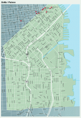
SoMa, Potrero Hill tourist map
Tourist map of SoMa and Potrero Hill in San Francisco
16 miles away
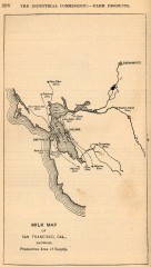
Antique map of San Francisco from 1901
"Milk Map of San Franciso, Cal., Showing Productive Area of Supply." From Report of the...
17 miles away
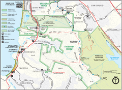
Sweeney Ridge Map
Trail map of Sweeney Ridge, part of the Golden Gate National Recreational Area.
17 miles away

1852 San Francisco Map
Guide to San Francisco, prior to 1852
17 miles away
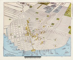
1896 San Francisco Perspective Map
Guide to historic San Francisco, in hand drawn perspective
17 miles away
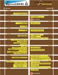
San Francisco Mission Restaurant Map
17 miles away
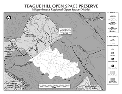
Teague Hill Open Space Preserve Map
Trail map of Teague Hill Open Space Preserve near Woodside, California. Only one trail enters a...
17 miles away
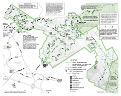
Mission Peak Preserve Map
Park map of Mission Peak Regional Preserve in Fremont, California. Topo map shows trails and trail...
17 miles away
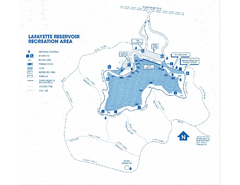
Lafayette Reservoir Recreation Area Map
17 miles away

San Francisco Historic Rail Map
Map of San Francisco historic rail lines
17 miles away
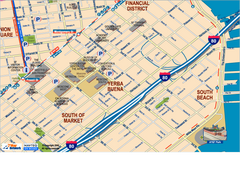
Downtown San Francisco: South of Market, Yerba...
Tourist map of South of Market (SOMA), Yerba Buena Center, and South Beach areas in downtown San...
17 miles away
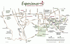
Livermore Valley Wineries, California Map
Map of wineries in Livermore Valley, California. Shows wineries, olive groves, and preserved land.
17 miles away
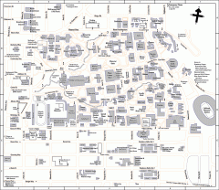
UC Berkeley Map
UC Berkeley campus map
17 miles away
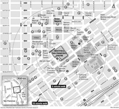
San Francisco City Center Map
17 miles away
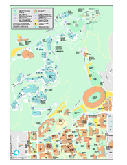
University of California, Berkeley Visitor Map
Colorful Map that illustrates the location of all buildings, parking areas, and streets in and...
17 miles away
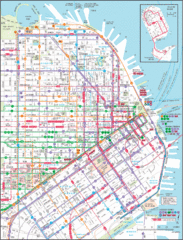
Downtown San Francisco Transit Map
Guide to area and transit in downtown San Francisco
17 miles away
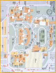
City College of San Francisco - Ocean Campus Map
City College of San Francisco - Ocean Campus Map. All buildings shown.
17 miles away
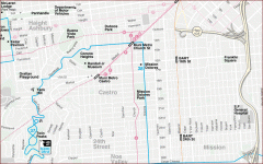
Castro, Mission, Haight-Ashbury, Noe Valley map
Tourist map of Castro, Mission, Haight-Ashbury, Noe Valley, and Twin Peaks in San Francisco
17 miles away
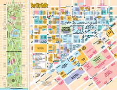
Union Square Tourist Map
Tourist map of Union Square district in San Francisco, California. Shows all venues and points of...
17 miles away
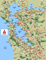
San Francisco Bay Area Map
17 miles away

San Francisco Bay Area Faults and Earthquake...
17 miles away
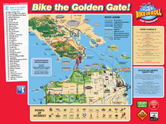
San Francisco Bike Map
17 miles away

Municipal Railway Map
17 miles away
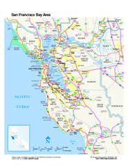
San Francisco Bay Area Map
Overview road map of the San Francisco Bay Area, California
17 miles away
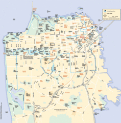
San Francisco Neighborhood Map
Neighborhood map of San Francisco, CA. Shows 49 mile scenic drive.
17 miles away

Double Decker Tour Bus Map
17 miles away
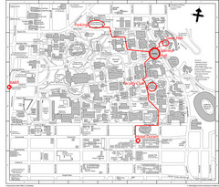
UC Berkely Campus Map
17 miles away
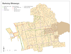
Bikeway Network of Berkeley, California Map
Map of current and proposed bike paths, lanes, and boulevards in Berkeley, California.
17 miles away
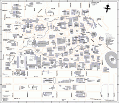
University of California at Berkeley Map
Campus map of the University of California at Berkeley. All buildings shown.
17 miles away
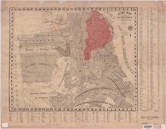
1907 San Francisco Earthquake Map
Map of areas destroyed by fire after 1906 earthquake
17 miles away
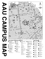
Academy of Art University San Francisco, CA Map
17 miles away
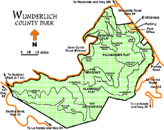
Wunderlich County Park Map
Trail map of Wunderlich County Park near Woodside, California. "The Alambique Trail offers a...
17 miles away
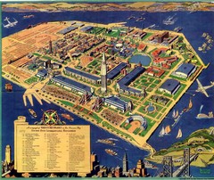
Golden Gate International Expo Cartograph 1939 Map
Bird's eye view of the Golden Gate International Expo in 1939 at Treasure Island in the San...
17 miles away
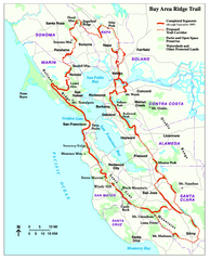
Bay Area Ridge Trail Map
Map of the Bay Area Ridge Trail. Shows completed segments through Sep 2009. "a 550+ mile...
17 miles away
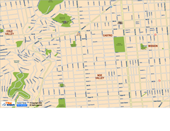
Downtown San Francisco: Castro and Noe Valley Map
Tourist map of the Castro and Noe Valley area in downtown San Francisco, California. Shows Twin...
17 miles away
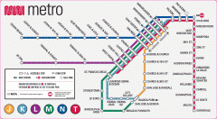
San Francisco Muni Metro map
Official SFMTA San Francisco MUNI Metro map. Shows overlapping BART stations and the Cal Train...
17 miles away
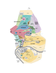
UC Botanical Gardens Map
Unfortunately this is a copy of an interactive map, so is slightly blurred at full size
17 miles away
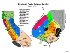
Tilden Regional Park and Native Plant Garden Map
17 miles away
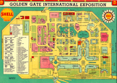
Golden Gate International Expo 1939 Map
Map of the 1939 Golden Gate International Expo.
17 miles away
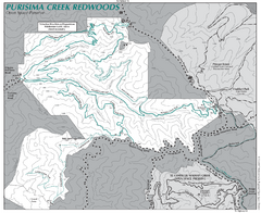
Purisima Open Space Preserve Map
Trail map of Purisima Open Space Preserve. Shows all mountain biking, hiking, and horseback riding...
17 miles away

