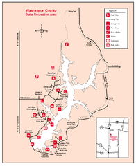
Washington County State Recreational Area...
121 miles away
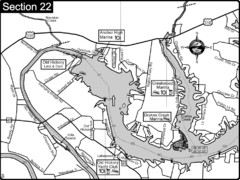
Old Hickory Lake-Cumberland River Map
Section 22 from the Cumberland River Guidebook shows the dam that forms Old Hickory Lake near...
122 miles away

Randolph County State Park, Illinois Site Map
122 miles away

Piney Creek Ravine, Illinois Site Map
123 miles away
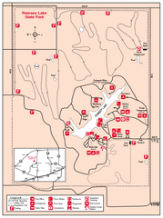
Ramsey Lake State Park, Illinois Site Map
123 miles away

Midtown Nashville and West End Map
125 miles away

Shelbyville Fish and Wildlife Area, Illinois Map
125 miles away
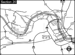
Nashville, TN-Cumberland River Map
The Cumberland River is an important waterway to the city of Nashville. Nashville is also a great...
126 miles away

Nashville City Map
126 miles away
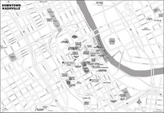
Downtown Nashville, TN Tourist Map
126 miles away
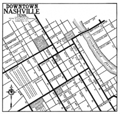
Downtown Nashville, TN Tourist Map
126 miles away
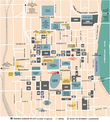
Nashville, TN Tourist Map
126 miles away
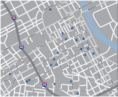
Nashville, TN Tourist Map
126 miles away
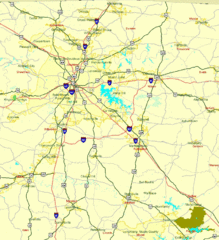
Nashville, TN Tourist Map
126 miles away
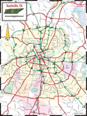
Nashville Road Map
Shows roads and major streets in Nashville, TN area
126 miles away
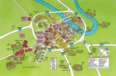
Nashville, TN Tourist Map
126 miles away
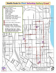
Nashville First Saturday Gallery Crawl Shuttle...
126 miles away
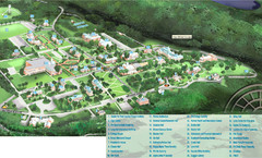
Hanover College Campus Map
Campus map of Hanover College in Hanover, IN. Shows all buildings including large number of...
126 miles away
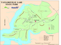
Taylorsville Lake State Park Map
Map of trails and facilities in Taylorsville Lake State Park.
127 miles away
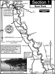
Columbus, IN White River East Fork Map
This is a page from the White River Guidebook. The map shows important information for boaters and...
127 miles away

Walnut Point State Park, Illinois Site Map
128 miles away
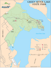
Green River Lake State Park Map
Map of trails and facilities in Green River Lake State Park.
129 miles away

Coffeen Lake, Illinois Site Map
129 miles away
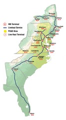
Linehaul Service Area Map
Service Area Map of Linehaul Surface Transportation
131 miles away
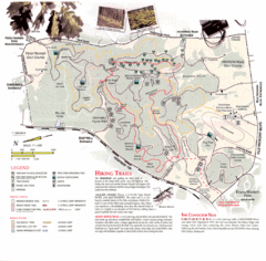
Percy Warner Park Map
132 miles away
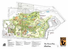
Nashville Zoo Map
132 miles away
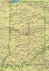
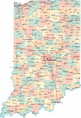
Indiana Map
134 miles away
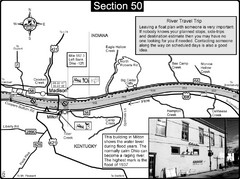
Ohio River at Madison, IN and Milton, KY Map
This is a page from the Ohio River Guidebook. The map shows important information for boaters and...
134 miles away
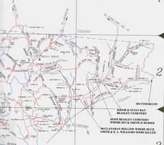
Trousdale County Muttonbluff Map
Pictured is a part of a map of Trousdale County containing the extreme northeast section. The...
136 miles away
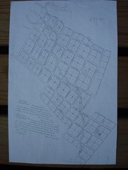
Prairie du Rocher City Map
Historical city map of Prairie du Rocher
139 miles away
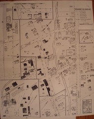
Prairie du Rocher City Map
Historical city map of Prairie du Rocher, Illinois
140 miles away
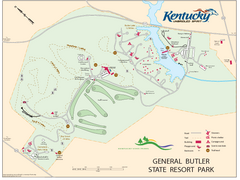
General Butler State Resort Park Map
Map of trails, facilities and golf course in General Butler State Resort Park.
141 miles away
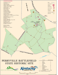
Perryville Battlefield State Historic Site Map
Map of trails and interpretive markers for the historical site of Perryville Battlefield.
142 miles away
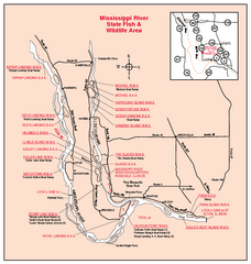
Mississippi River, Illinois Site Map
143 miles away
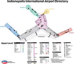
Indianapolis International Airport Terminal Map
Official map of Indianapolis International Airport. Shows all Upper Level Terminals.
144 miles away
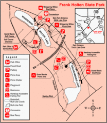
Frank Holten State Park, Illinois Site Map
146 miles away
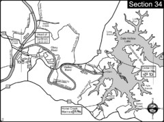
Celina, TN Dale Hollow Lake-Cumberland River Map
Celina Tennessee is the location for the head of navigation for the Cumberland River at the fork of...
147 miles away

Horseshoe Lake State Park, Illinois Site Map
148 miles away
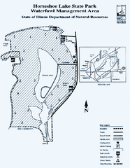
Horseshoe Lake State Park, Illinois Site Map
148 miles away

