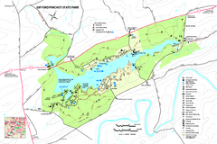
Gifford Pinchot State Park Map
Detailed map of Gifford Pinchot State Park in Pennsylvania.
132 miles away
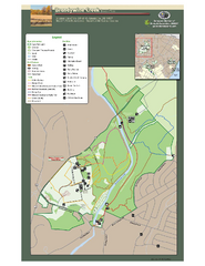
Brandywine Creek State Park Map
Easy to read map and legend of this beautiful state park.
133 miles away
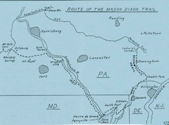
Mason Dixon Trail Map
Hand drawn map of the Mason-Dixon Trail. The 193 mile long Mason-Dixon Trail starts on the...
133 miles away
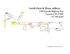
Amish Farm and House Route Map
Map showing directions to the Amish Farm and House with locations of key buildings and streets in...
134 miles away
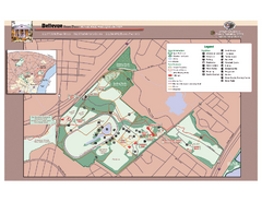
Bellevue State Park Map
Beautiful park with easy to read details.
134 miles away
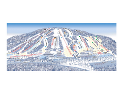
Ski Roundtop Ski Trail Map
Trail map from Ski Roundtop.
134 miles away
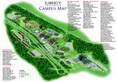
Liberty University Map
Liberty University Campus Map. All buildings shown.
136 miles away
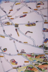
Handrawn Lancaster County Map
Guide to Amish country in Pennsylvania
136 miles away
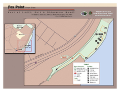
Fox Point State Park Map
Clear and simple state park map.
137 miles away
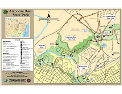
Alapocas Run State Park Map
Detailed map and clear legend for this nice state park.
137 miles away
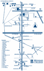
South Pennsylvania Restaurant Map
138 miles away
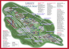
Liberty University Map
138 miles away
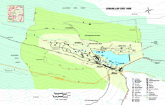
Cowans Gap State Park map
Detailed recreation map for Cowans Gap State Park in Pennsylvania
139 miles away
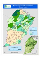
Chester County Tree Cover Map
Poster map of tree cover in Chester County, Pennsylvania
139 miles away
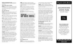
Occoneechee State Park Map
This map clearly marks rest stops, trails, campgrounds and more.
140 miles away
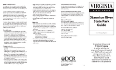
Staunton River State Park Map
Clear map marking trails, rest stops, facilities and more.
142 miles away
Staunton River Battlefield State Park Map
Clearly labeled state park map.
143 miles away
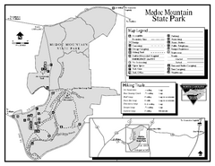
Medoc Mountain State Park map
Detailed recreation map for Medoc Mountain State Park in North Carolina.
143 miles away
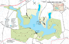
Marsh Creek State Park map
Detailed map of Marsh Creek State Park in Pennsylvania.
145 miles away
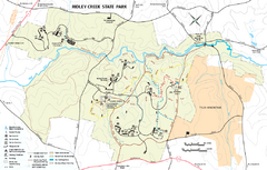
Ridley Creek State Park Map
Detailed recreation map for Ridley Creek State Park in Pennsylvania
145 miles away
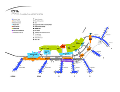
Philadelphia International Airport Terminal Map
Official Map of Philadelphia International Airport. Shows all terminals.
147 miles away
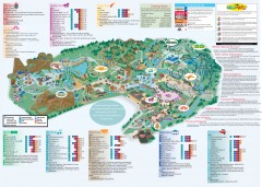
Hershey Park Official Map
Official 2007 map of the Hershey Theme Park in Hershey, PA
147 miles away
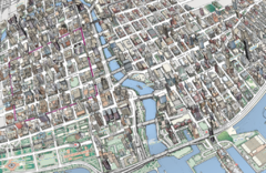
map a
149 miles away
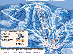
Timberline Ski Resort Ski Trail Map
Trail map from Timberline Ski Resort.
150 miles away
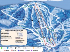
Timberline Ski Trail Map
Official ski trail map of Timberline ski area in West Virginia
150 miles away

Colonel Denning State Park map
Detailed map of Colonel Dening State Park in Pennsylvania
150 miles away
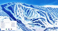
Canaan Valley Resort Ski Trail Map
Trail map from Canaan Valley Resort.
150 miles away
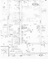
Pipestand Map
Historical map with reference to pipestand for the fire department
151 miles away
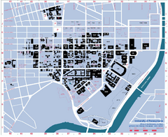
University of Pennsylvania Map
University of Pennsylvania Campus Map. All buildings shown.
153 miles away
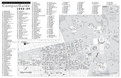
Penn State University Park Campus Map
153 miles away
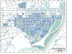
university of pennsylvania Map
153 miles away
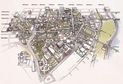
University of Pennsylvania 3D campus map
Aerial perspective of the UPenn campus. Shows street names but not building names. To view...
153 miles away
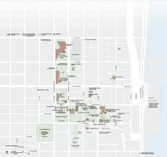
Independence National Historical Park Official Map
Official NPS map of Independence National Historical Park in Pennsylvania. Map shows all areas...
153 miles away
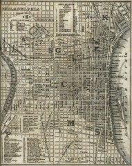
Antique map of Philadelphia from 1842
Antique map of "Philadelphia" from Tanner, H.S. The American Traveller; or Guide Through...
153 miles away
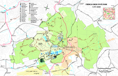
French Creek State Park map
Detailed recreation map for French Creek State Park in Pennsylvania
153 miles away
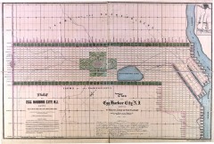
Antique map of Egg Harbor City from 1857
Antique map of Egg Harbor City, New Jersey from 1857.
154 miles away
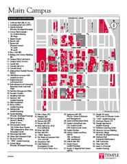
Temple University Map
Campus Map of Temple University. All buildings shown.
154 miles away
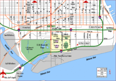
Philadelphia City Map
154 miles away
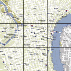
Philadelphia, Pennsylvania City Map
154 miles away
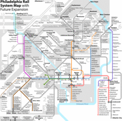
Philadelphia Rail System Map
Philadelphia Rail System Map Version 3.1 with future expansion.
154 miles away

