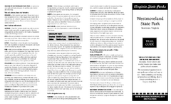
Westmoreland State Park Map
Fishing, hiking, camping and more are all available at this state park.
0 miles away
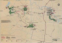
Fredricksburg National Parks Map
National parks in Fredricksburg.
33 miles away

Sandy Point State Forest Hunting Map
Virginia Department of Forestry Hunting Areas
34 miles away
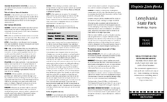
Leesylvania State Park Map
Clear map of this small state park.
37 miles away
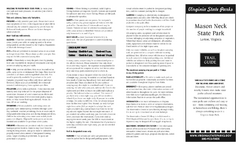
Mason Neck State Park Map
Descriptive map detailing trails, rest stops, and more.
38 miles away
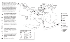
Mason Neck State Park Map
Trail map of Mason Neck State Park near Lornton, Virginia. Shows approx. 3 miles of hiking trails...
38 miles away
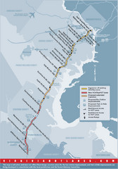
Proposed Expansion of I-95/395 HOV/Bus/Hot Lanes...
38 miles away
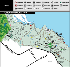
Pohick Bay Regional Park Map
Park map of Pohick Bay Regional Park near Lorton, VA on the Potomac River. Shows trails and...
39 miles away
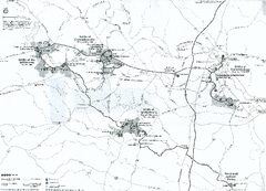
Fredericksburg and Spotsylvania National Military...
Official NPS map of Fredericksburg and Spotsylvania National Military Park in Virginia. The...
43 miles away
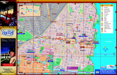
Alexandria City Tourist Map
Tourist street map of city
47 miles away
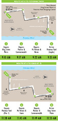
DC Metro Route Between King Street and Potomac...
47 miles away
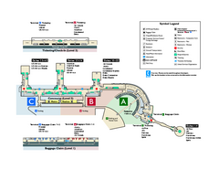
Ronald Reagan Washington National Airport Map
Official Terminal Map of Ronald Reagan Washington National Airport. Shows all areas.
48 miles away
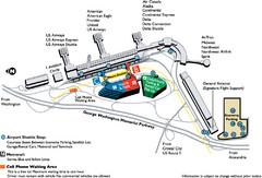
Reagan National Airport DCA Map
49 miles away
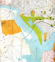
Antique map of Washington D.C. from 1901
Portion of "Map of the District of Columbia" No. D-287, Commission on the Improvement of...
49 miles away
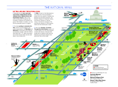
National Mall in Washington, D.C. Map
Official map of the National Mall, including the National Museum of Natural History and other...
51 miles away
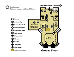
Floor Map of the Smithsonian National Museum of...
Official Floor Map of the Smithsonian National Museum of Natural History in Washington, D.C. Shows...
51 miles away
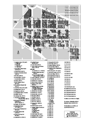
The George Washington University Map
Campus Map of The George Washington University in Washington, D.C. All areas shown.
51 miles away
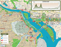
Washington D.C. Marine Corps Marathon Course Map...
Official 2008 course map of the Washington D.C. Marine Corps Marathon
51 miles away
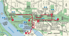
Walking tour of the Washington DC mall Map
Tourist map and walking tour of the National Mall in Washington D.C.
51 miles away
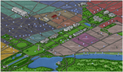
Washington DC Tourist Map
Tourist map of Washington, DC. Bird's-eye view of landmark buildings.
51 miles away
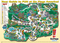
Six Flags America Theme Park Map
Official Park Map of Six Flags America in Washington D.C.
51 miles away
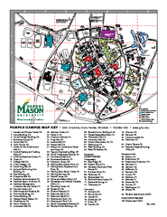
George Mason University Map
52 miles away
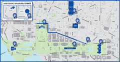
Washington D.C. Tourist Map
Attractions and the city of Washington D.C.
52 miles away
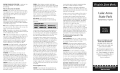
Lake Anna State Park Map
Detailed state park map.
52 miles away
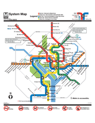
Official Washington DC Metro map
Official color PDF map from the Washington Metropolitan Area Transit Authority. The WMATA operates...
53 miles away
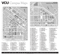
Virginia Commonwealth University Map
Virginia Commonwealth University Campus Map. All buildings shown.
53 miles away
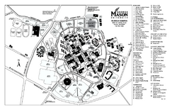
George Mason University Map
Campus map of George Mason University. All buildings shown.
53 miles away
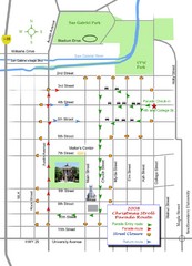
Georgetown Christmas Stroll Paradise Route Map
Walking path through Downtown Georgetown.
53 miles away
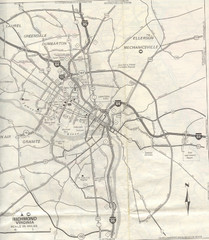
Richmond, Virgina City Map
53 miles away
York River State Park Map
Fish and hike along this beautiful state park's river front.
54 miles away
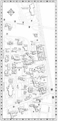
Catholic University of America Campus Map
Campus map of the Catholic University of America in Washington D.C.
54 miles away

Chesapeake Water Table Elevation Map
Water Resource Protection data for Chesapeake Bay
55 miles away

Glendale, Virginia Battle Map
A Civil War Battle Map in Glendale, Virginia
55 miles away
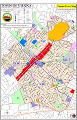
Vienna Town Map
55 miles away
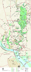
Rock Creek Park map
Map of Rock Creek Park and its immediate surroundings in Washington, DC
56 miles away
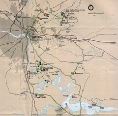
Richmond Area Civil War Battle Map
Richmond, VA area Civil War battle map
57 miles away
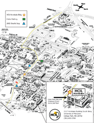
University of Maryland Map
Visitor Map of University of Maryland, shows specific location of the Hornbake building, all other...
57 miles away
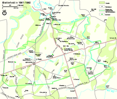
Manassas National Battlefield Park Official Map
Official NPS map of Manassas National Battlefield Park in Virginia.
58 miles away

