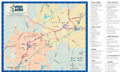
Auburn and Opelika City Map
Map of Auburn and Opelika, Alabama with tourist information.
242 miles away

Lake Oconee Map
243 miles away
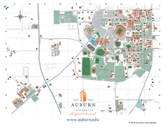
Auburn University Map
Campus Map of Auburn University. All areas shown.
243 miles away
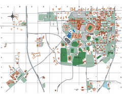
Auburn University Map
243 miles away
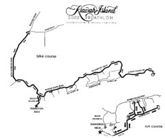
Kiawah Island Triathlon Map
Map of Kiawah Island Triathlon course, 2002
243 miles away
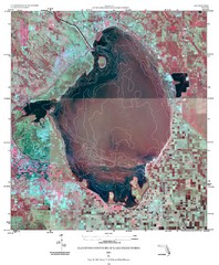
Elevation contour maps of Lake Okeechobee Map
Elevation contour maps of Lake Okeechobee
244 miles away
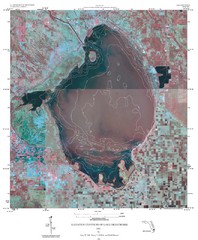
Elevation Contours of Lake Okeechobee Map
Elevation contour maps of Lake Okeechobee
244 miles away
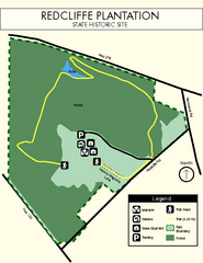
Redcliffe Plantation State Park Map
Clear map of this wonderful state park with a beautiful natural setting.
244 miles away
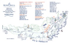
Sanibel Island Tourist Map
Tourist map of Sanibel Island, Florida
246 miles away
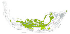
Sanibel Island and Captiva Island Map
246 miles away
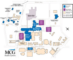
MCG Health System--Medical College of Georgia...
Color-coded map of all buildings on the Medical College of Georgia associated with the MCG Health...
246 miles away
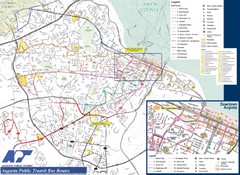
Augusta Public Transit Routes Map
Transit Route Map of the town of Augusta. Includes all streets, some important buildings, and a...
246 miles away
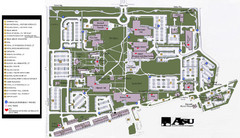
Augusta State University Map
Campus map
246 miles away
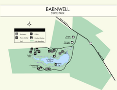
Barnwell State Park Map
Simple map of this state park.
248 miles away
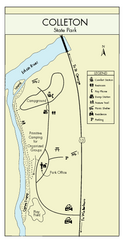
Colleton State Park Map
Detailed map and map legend of this beautiful state park.
249 miles away
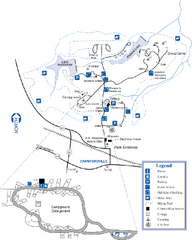
A. H. Stephens Historic Park Map
Map of park with detail of trails and recreation zones
249 miles away
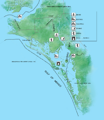
Estero Bay Preserve State Park Map
Map of park with detail of trails and recreation zones
250 miles away
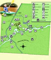
Blackwater River State Park Map
Map of park with detail of various recreation zones
251 miles away
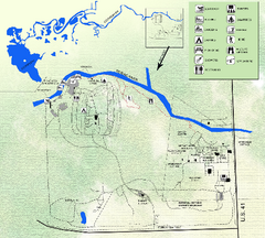
Koreshan State Historic Site Map
Map of park with detail of trails and recreation zones
251 miles away
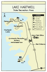
Lake Hartwell State Park Map
Clear state park map.
252 miles away
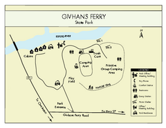
Givhans Ferry State Park Map
Map marked with shelter, phone, restrooms, picnic and more.
254 miles away
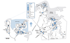
Mistletoe State Park Map
Map of park with detail of trails and recreation zones
256 miles away
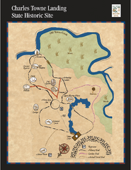
Charles Towne Landing State Park Map
This small park is full of beautiful hiking trails set in a natural setting.
256 miles away
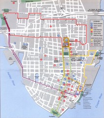
Charleston, South Carolina Tourist Map
256 miles away
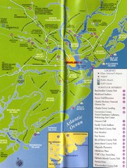
Charleston, South Carolina Tourist Map
256 miles away
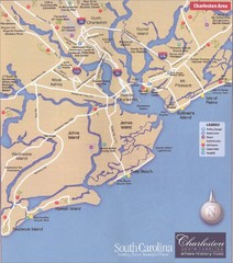
Charleston, South Carolina Tourist Map
256 miles away
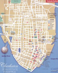
Charleston, South Carolina Tourist Map
Downtown.
257 miles away
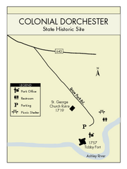
Colonial Dorchester State Park Map
Office, parking, picnic sites and more are all clearly marked on this state park site.
257 miles away

Charleston Tourist Map
Tourist map of Charleston, South Carolina. Shows activities and museums.
257 miles away
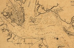
Plan of Charleston Harbor (Civil War) Map
257 miles away
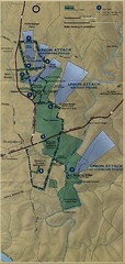
Antietam National Battelfield Map
258 miles away

Charleston, South Carolina City Map
258 miles away
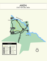
Aiken State Park Map
Small and simple state park map.
259 miles away

Summerville, South Carolina Tourist Map
259 miles away
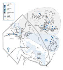
Hard Labor Creek State Park Map
Map of park with detail of trails and recreation zones
260 miles away
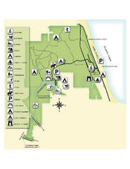
Jonathan Dickinson State Park Map
Map of park with detail of trails and recreation zones
260 miles away

Pensacola Beach Tourist Map
261 miles away
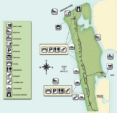
Delnor-Wiggings Pass State Park Map
Map of park with detail of trails and recreation zones
261 miles away
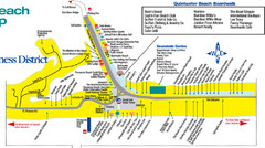
Quitewater Beach Boardwalk Map
263 miles away
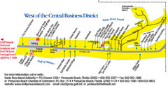
Pensacola Beach Tourist Map
263 miles away

