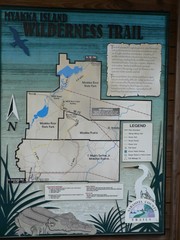
Myakka Island Trail Map
Trail map of Myakka Island. From photo.
191 miles away
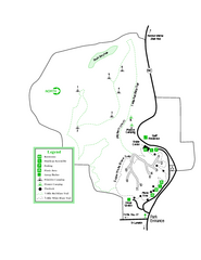
Providence Canyon State Park Map
Map of park with detail of trails and recreation zones
193 miles away
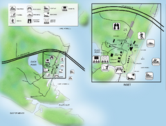
Camp Helen State Park Map
Map of park with detail of various recreation zones
194 miles away
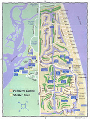
Palmetto Dunes Map
194 miles away
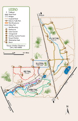
Oscar Scherer State Park Trail Map
Map of park with detail of hiking trails throughout
194 miles away
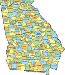
Georgia Counties Map
196 miles away
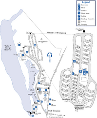
Florence Marina State Park Map
Map of park with detail of trails and recreation zones
199 miles away
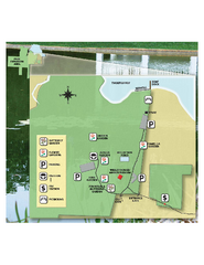
Eden Gardens State Park Map
Map of park with detail of gardens
202 miles away
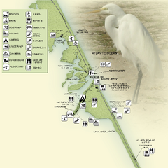
Sebastian Inlet State Park Map
Map of park with detail of trails and recreation zones
203 miles away
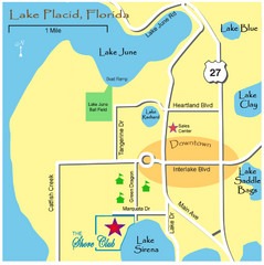
Lake Placide Town Map
203 miles away
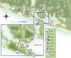
Grayton Beach State Park Map
Map of park with detail of trails and recreation zones
204 miles away
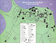
Parris Island Marine Corps Recruit Depot Map
Map of the Parris Island Marine Corps Recruit Depot near Beaufort, South Carolina. Shows...
205 miles away
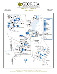
Magnolia Springs State Park Map
Map of park with detail of trails and recreation zones
207 miles away
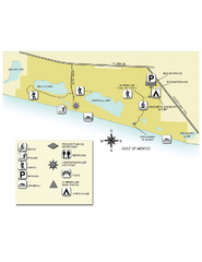
Topsail Hill Preserve State Park Map
Map of park with detail of recreation zones
213 miles away
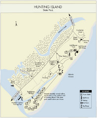
Hunting Island State Park Map
Shows facilities of Hunting Island State Park, South Carolina. Rated the #8 beach in America by...
215 miles away
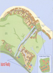
Harbor Island Real Estate Map
218 miles away
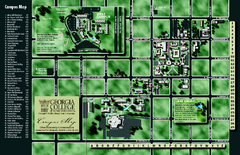
Georgia College Campus Map
Georgia College Campus Map. Shows all areas.
218 miles away
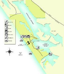
Don Pedro Island State Park Map
Map of park with detail of trails and recreation zones
218 miles away
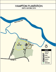
Hampton Plantation State Park Map
Clear and easy to read map.
219 miles away
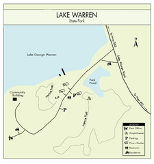
Lake Warren State Park Map
Clearly marked state park map.
219 miles away
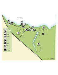
Fred Gannon Rocky Bayou State Park Map
Map of park with detail of trails and recreation zones
222 miles away
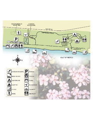
Henderson State Park Map
Map of park with detail of trails and recreation zones
222 miles away

Baseball Spring Training in Souther Florida Map
Guide 2009 Baseball Spring Training in Florida
222 miles away
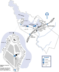
Hamburg State Park Map
Map of park with detail of trails and recreation zones
224 miles away
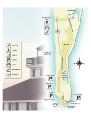
Gasparilla Island State Park Map
Map of park with detail of trails and recreation zones
226 miles away

Birdwatching Areas in St. Lucie County Florida Map
Map shows Birdwatching Areas in St. Lucie County, Florida.
227 miles away
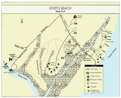
Edisto Beach State Park Map
Clearly labeled map of this beautiful state park.
228 miles away
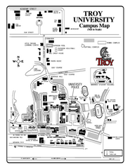
Troy University Map
Campus map of Troy University Troy campus. All areas shown.
228 miles away
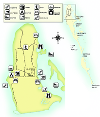
Cayo Costa State Park Map
Map of park with detail of trails and recreation zones
230 miles away
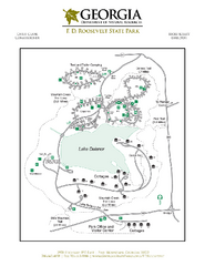
F.D. Roosevelt State Park Map
Map of park with detail of trails and recreation zones
232 miles away
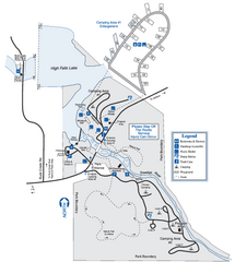
High Falls State Park Map
Map of park with detail of trails and recreation zones
234 miles away
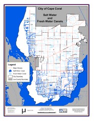
Cape Coral, Florida City Map
234 miles away
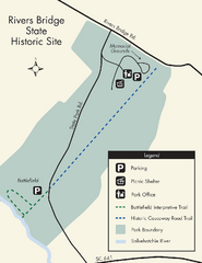
Rivers Bridge State Park Map
Nice and clear map of this history state park.
235 miles away
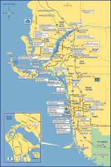
Fort Meyers tourist map
Tourist map of Fort Meyers, Florida. Shows businesses and points of interest.
236 miles away
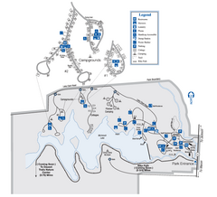
Indian Springs State Park Map
Map of park with detail of trails and recreation zones
237 miles away
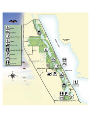
Savannas Preserve State Park Map
Map of park with detail of trails and recreation zones
237 miles away
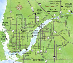
Cap Coral and Surrounding Area Map
Small, humble fishing community along the coast of Florida.
237 miles away

Port St. Lucie , Florida City Map
237 miles away
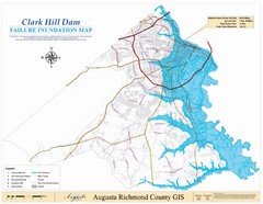
Richmond County Failure Inundation Map
Map of the flood water failure inundation of Augusta Richmond county, Georgia. Includes detailed...
238 miles away
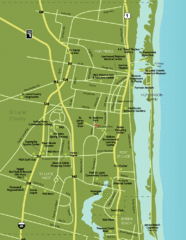
Port St. Lucie Map
Map of Port Saint Lucie.
240 miles away

