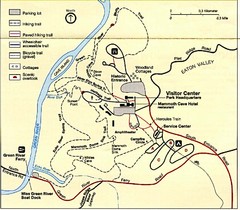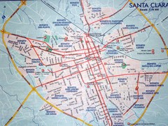
"Sagua La Grande - Santa Clara" Road Map
534 miles away
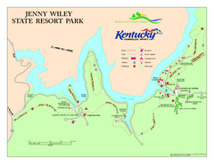
Jenny Wiley State Resort Park Map
Map of trails and facilities of Jenny Wiley State Resort Park.
535 miles away
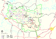
Mammoth Cave National Park Official Park Map
Official NPS map of Mammoth Cave National Park in Kentucky. Most of the park's resources and...
536 miles away
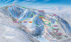
Winterplace Ski Resort Ski Trail Map
Trail map from Winterplace Ski Resort.
536 miles away
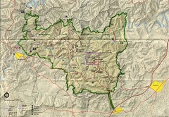
Mammoth Cave National Park Map
Visitor Center Area Map and Park Map. Topographical map that shows parameters of the park as well...
536 miles away
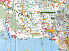
"Torriente - Cienfuegos" Road Map
538 miles away
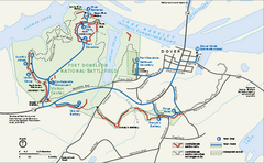
Fort Donelson National Battlefield Official Map
Official NPS map of Fort Donelson National Battlefield in Tennessee. Fort Donelson visitor center...
538 miles away
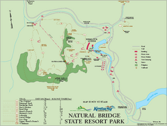
Natural Bridge State Resort Park map
Recreation map for Natural Bridge State Park in Kentucky
542 miles away
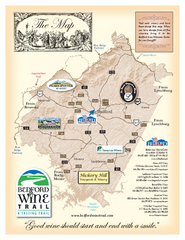
Bedford Wine Trail Map
Map of Bedford Wine Trail, showing all area wineries and vineyards.
543 miles away
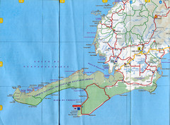
"LasTumbas - PicaPica" Road Map
543 miles away
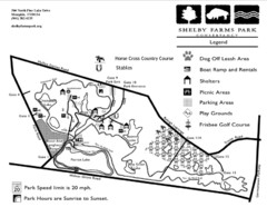
Shelby Farms Park Activities Areas Map
Visitor map of Shelby Farms Park. Shows parameters of dog areas, parking, play grounds, shelters...
543 miles away
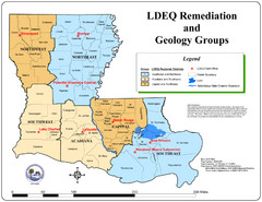
Louisiana Map
District and geological map of Louisiana
544 miles away
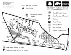
Shelby Farms Park Map
545 miles away
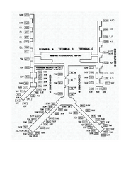
Memphis International Airport Terminal Map
Official Terminal Map of Memphis International Airport. Shows all terminals.
547 miles away
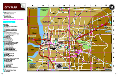
Memphis, Tennessee City Map
548 miles away
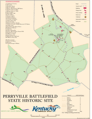
Perryville Battlefield State Historic Site Map
Map of trails and interpretive markers for the historical site of Perryville Battlefield.
548 miles away
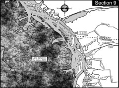
Lake Barkley-Cumberland River Map
Portion of Lake Barkley formed on the Cumberland River. In this section the state line is shown...
550 miles away

Santa Clara Map
551 miles away

Liberty University Map
551 miles away
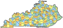
Kentucky Counties Map
551 miles away
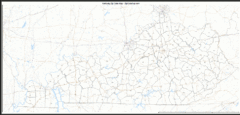
Kentucky Zip Code Map
Check out this Zip code map and every other state and county zip code map zipcodeguy.com.
551 miles away
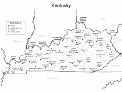
Kentucky Airports Map
551 miles away
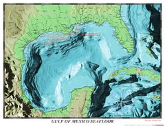
Gulf of Mexico sea floor Map
551 miles away
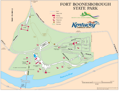
Fort Boonesborough State Park Map
Map of trails, historical sites and facilities at Fort Boonesborough State Park.
553 miles away
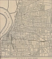
Antique map of Memphis from 1911
Antique map of Memphis, Tennessee from The New Encyclopedic Atlas and Gazetteer of the World. New...
554 miles away
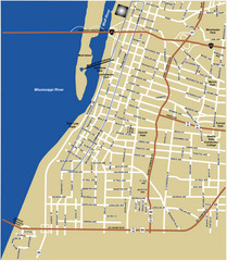
Downtown Memphis Map
554 miles away

Liberty University Map
Liberty University Campus Map. All buildings shown.
555 miles away
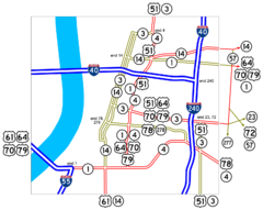
Downtown Memphis Map
Roads and freeways around Memphis.
555 miles away
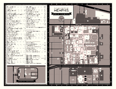
University of Memphis Map
Campus Map of the University of Memphis. All buildings shown.
555 miles away
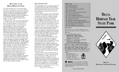
Delta Heritage Trail State Park Map
Map of Arkansas Historical Delta Heritage Trail both completed and uncompleted sections.
556 miles away
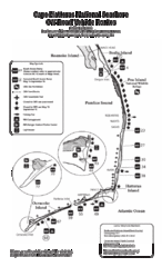
Cape Hatteras Off Road Map
557 miles away
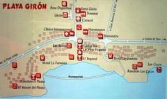
Playa Giron Map
Tourist map of Playa Giron beach
557 miles away

Nueva Gerona Map
559 miles away
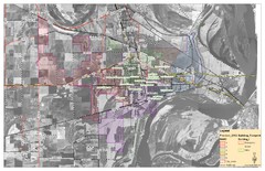
West Memphis City Map
City Map of West Memphis with ward boundaries
559 miles away

Provincia Cienfuegos Map
560 miles away
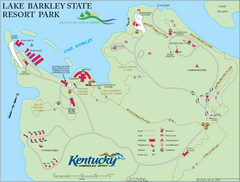
Lake Barkley State Resort Park Map
Map of the trails and facilities of Lake Barkley State Resort Park.
560 miles away

Cienfuegos Map
560 miles away
Twin Lakes State Park Map
Beautiful lakes and trails in the natural state park.
561 miles away

