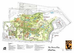
Nashville Zoo Map
482 miles away
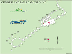
Cumberland Falls Map
482 miles away
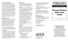
Hungry Mother State Park Map
Detailed map of this small state park.
483 miles away
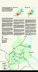
Shiloh National Military Park Official Park Map
Official NPS map of Shiloh National Military Park in Tennessee. The park is open every day except...
483 miles away
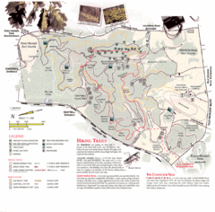
Percy Warner Park Map
484 miles away
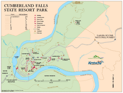
Cumberland Falls State Resort Park map
Detailed recreation map for Cumberland Falls State Resort Park in Kentucky
484 miles away
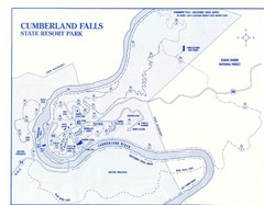
Cumberland Falls State Resort Park Map
Cumberland Falls Park Area Map
484 miles away

Cherry Point Conservation Initiative Map
Map showing conservation lands at two US military facilities in coastal North Carolina.
484 miles away
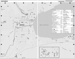
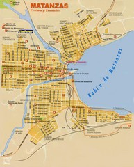
Matanzas Map
484 miles away
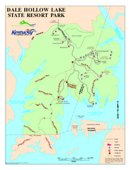
Dale Hollow Lake State Park Map
Map of trails and facilities of Dale Hollow Lake State Park.
485 miles away

Clifton, TN Tennessee River Map
For boating navigational information and river road travel along the Tennessee River.
486 miles away
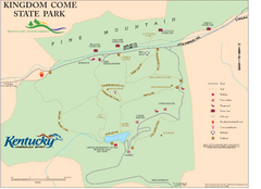
Kingdom Come State Park Map
Trail map for Kingdom Come State Park.
486 miles away

New Bern Map
Downtown Map of New Bern.
488 miles away

Lower Neuse River Conservation Initiative Map
Map and poster showing conservation lands along the lower Neuse river in coastal North Carolina.
488 miles away
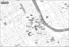
Downtown Nashville, TN Tourist Map
488 miles away
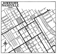
Downtown Nashville, TN Tourist Map
488 miles away
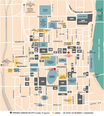
Nashville, TN Tourist Map
488 miles away
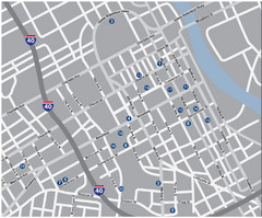
Nashville, TN Tourist Map
488 miles away
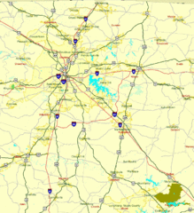
Nashville, TN Tourist Map
488 miles away
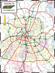
Nashville Road Map
Shows roads and major streets in Nashville, TN area
488 miles away
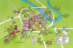
Nashville, TN Tourist Map
488 miles away
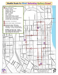
Nashville First Saturday Gallery Crawl Shuttle...
488 miles away

Nashville City Map
488 miles away
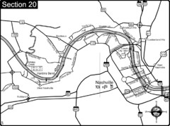
Nashville, TN-Cumberland River Map
The Cumberland River is an important waterway to the city of Nashville. Nashville is also a great...
488 miles away

Midtown Nashville and West End Map
489 miles away
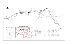
High Bridge Trail Map
Take a hike down this amazing Virginia trail.
490 miles away
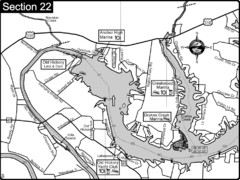
Old Hickory Lake-Cumberland River Map
Section 22 from the Cumberland River Guidebook shows the dam that forms Old Hickory Lake near...
491 miles away
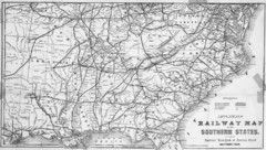
1865 Southern US States Railway Map
Guide to railroad travel in the southern United States
492 miles away
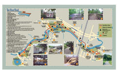
Tar Riverm Trail Map
493 miles away
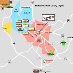
Martinsville Restaurant and Hotel Map
494 miles away
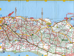
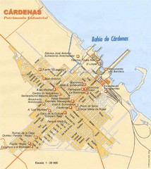
"Batabano - CArdenas" Map
495 miles away
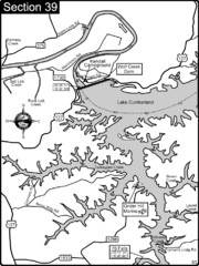
Lake Cumberland-Cumberland River Map
Lake Cumberland is formed by a dam on the Cumberland River in Section 39 of the Cumberland River...
496 miles away
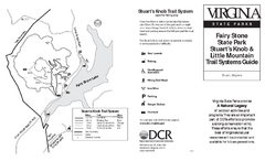
Fairy Stone State Park Map
Clearly marked state park map with trail system.
496 miles away
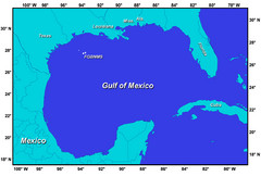
Gulf of Mexico Map
496 miles away
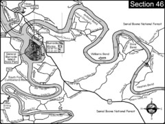
Burnside, KY-Cumberland River Map
Burnside, Kentucky is located at the fork of the Cumberland River and the South Fork. This is...
497 miles away
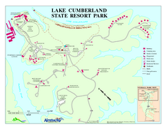
Lake Cumberland State Resort Park Map
Map of trails and facilities for Lake Cumberland State Resort Park.
497 miles away
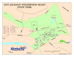
Levi Jackson Wilderness Road State Park Map
Map of trails and facilities of Levi Jackson Wilderness Road State Park.
497 miles away
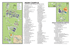
East Carolina University Map
East Carolina University Campus Map. All buildings shown.
500 miles away

